Escaped youth tracked by Eagle helicopter, found hiding in New Brighton
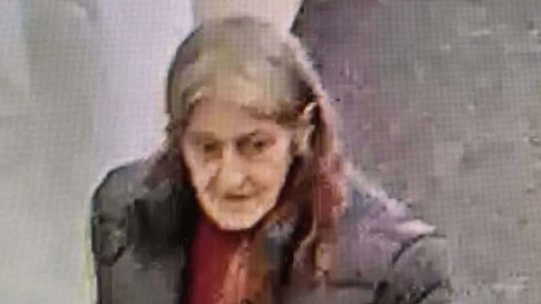
The young person who escaped from a youth justice facility in Rolleston has been located...


The young person who escaped from a youth justice facility in Rolleston has been located...

A person has been seriously injured on State Highway 75, Christchurch Akaroa Road. A police...

BodyFix Gym Christchurch in Phillipstown has taken out two major honours at the Exercise New...

Local MPs have found areas of agreement on major Resource Management Act reforms, during a...

A series of public events have been organised across Christchurch and Lyttelton over the coming...

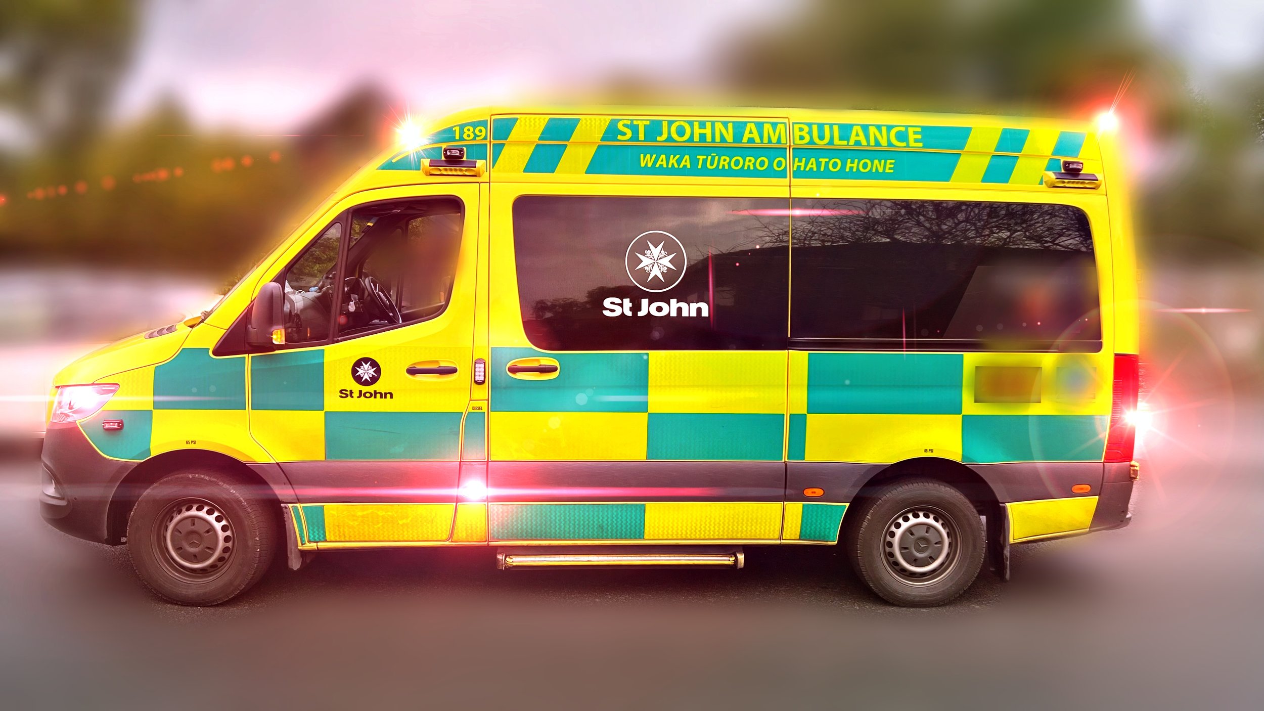
A woman was taken to hospital after a ‘water incident’ at Parakiore Recreation and Sport...
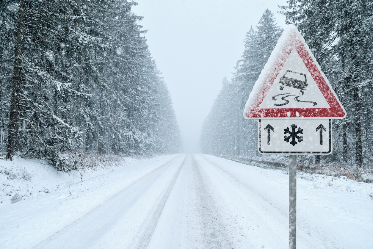
Drivers are being warned to prepare for ice, freezing fog and snow on several South Island highways this week.
An NZTA spokesperson said forecasts showed significant frosts were likely from tonight, with icy conditions expected on State Highways 8 and 80 in the Mackenzie Basin and Burkes Pass areas tomorrow morning.
“Freezing fog is also forecast in the morning, and it may persist throughout the day tomorrow for those travelling on SH8 and SH80,” the spokesperson said.
More ice and freezing fog are expected on Wednesday, with snow forecast later in the day, especially above 600 metres.
The spokesperson said up to five centimetres of snow could settle on parts of SH8 and SH80 by late Wednesday, with lighter snowfalls expected into Thursday.
Further north, frosts are forecast to affect State Highways 1, 73 and 77, with freezing fog possible in alpine basins before 10am tomorrow.
On Thursday, snow could fall to 700 metres, with more than five centimetres possible on higher parts of Porters Pass and up to four centimetres forecast for Lewis Pass. Snow showers may continue on Friday.
An elevated frost and ice risk is also expected for parts of Central Otago and the Southern Lakes from tonight.
The spokesperson said NZTA contractors would be laying grit or anti icing agents to help keep highways safe.
“Drivers are urged to reduce their speeds, increase their following distances, and avoid sudden braking or turning movements on icy roads,” the spokesperson said.
“Ice is more likely to form in places such as bridges and shaded areas, and black ice can be harder to spot.”
Drivers are also being reminded to use headlights in foggy conditions and to check NZTA’s Journey Planner before travelling, as road closures or restrictions may be needed if snow builds up.