Escaped youth tracked by Eagle helicopter, found hiding in New Brighton
The young person who escaped from a youth justice facility in Rolleston has been located...


The young person who escaped from a youth justice facility in Rolleston has been located...

A person has been seriously injured on State Highway 75, Christchurch Akaroa Road. A police...

BodyFix Gym Christchurch in Phillipstown has taken out two major honours at the Exercise New...

Local MPs have found areas of agreement on major Resource Management Act reforms, during a...

A series of public events have been organised across Christchurch and Lyttelton over the coming...

A woman was taken to hospital after a ‘water incident’ at Parakiore Recreation and Sport...
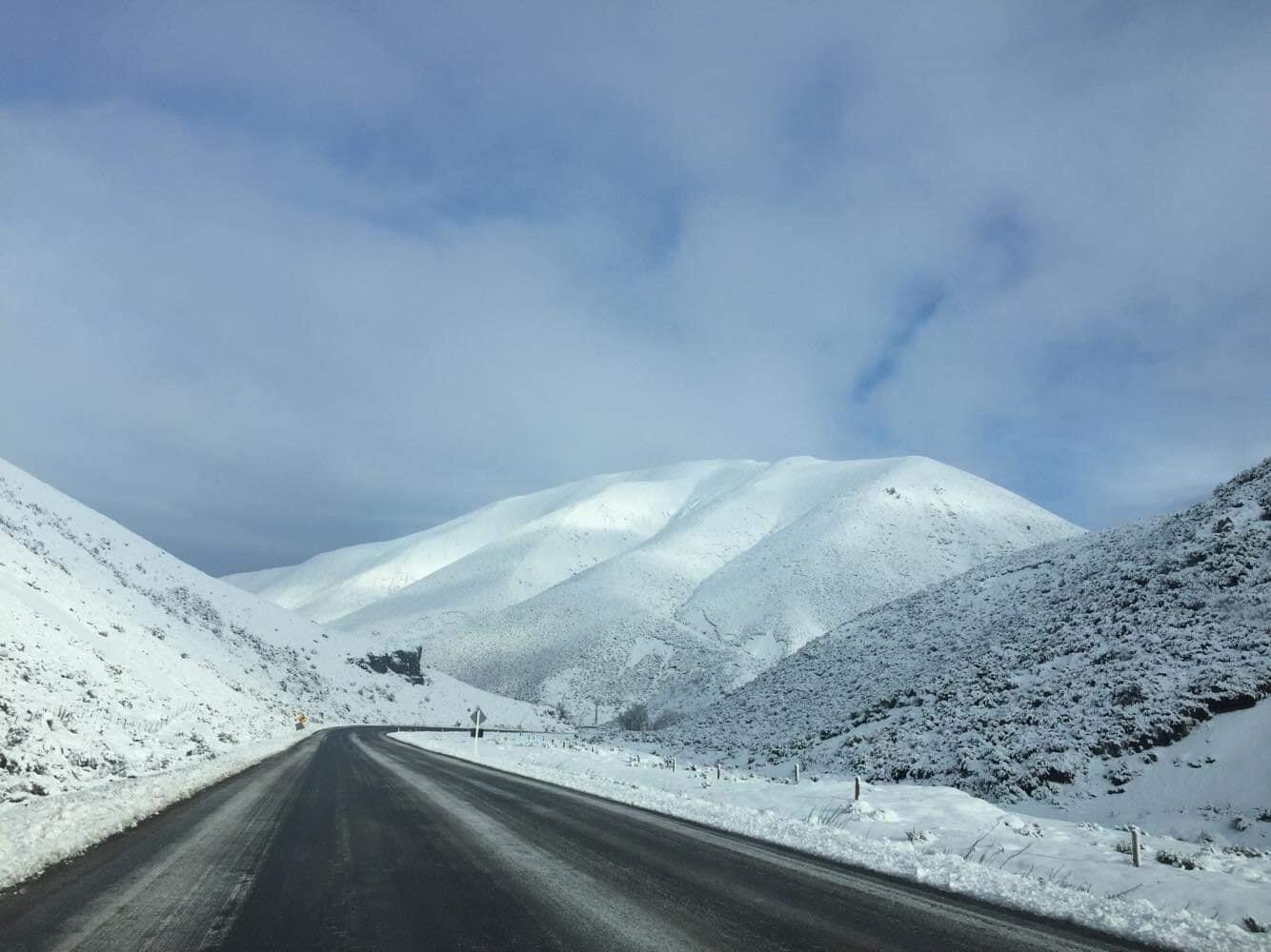
Snow for Canterbury High Country and Plains:
Slow moving weather systems will keep very cold southerly quarter airflow over Canterbury from tonight through to at least Thursday of this week, with low pressure troughs and fronts arriving east of the country from the Southern Ocean on Monday and Wednesday.
Blue Skies Weather says high pressure is slowly building in the Tasman Sea which will bring a long period of cold airflow onto the country.
High level snow falls are expected tonight, above 800m.
Expect snow lowering to 700m tomorrow Monday, with 5-10cm possible above that level by tomorrow night.
Snow flurries on Tuesday should be light and showery, with a few cm accumulating above 500m, a further 3-5cm above 700m.
On Wednesday light snow flurries will lower to 300m, with 1-3cm initially above this level.
A period of heavier and more persistent snow from late Wednesday afternoon through Wednesday night will lower snow levels to 200m. Expect 1-3cm accumulating to 200m, 3-5cm to 300m, and 10-20cm to 500m.
Heavier falls are likely above 500m. Snow levels will rise on Thursday, with further snow showers above 500m slowly clearing.
For travellers:
Blue Skies Weather says expect disruption on mountain passes from Tuesday onwards, with passes likely to be closed due to heavy snow on Wednesday afternoon and through Wednesday night.
Blue Skies Weather says roads on Banks Peninsula, the Port Hills, and the hills of North Canterbury may see light snowfalls above 200m from Wednesday afternoon through Wednesday night.
Lewis Pass (SH7)
A period of snow showers is expected during Monday. From 9am to 2pm Monday, 1 to 2cm of snow may accumulate on the road near the summit, with lesser amounts to 600 metres.
Arthur’s Pass (SH73)
Snow showers are expected on Monday morning. From 2am to 11am Monday, 3 to 6cm of snow may accumulate near the summit, with lesser amounts to 500 metres.
Porters Pass (SH73)
Snow showers are expected on Monday morning. From 2am to 11am Monday, 8 to 15cm of snow may accumulate near the summit, with lesser amounts to 500 metres.