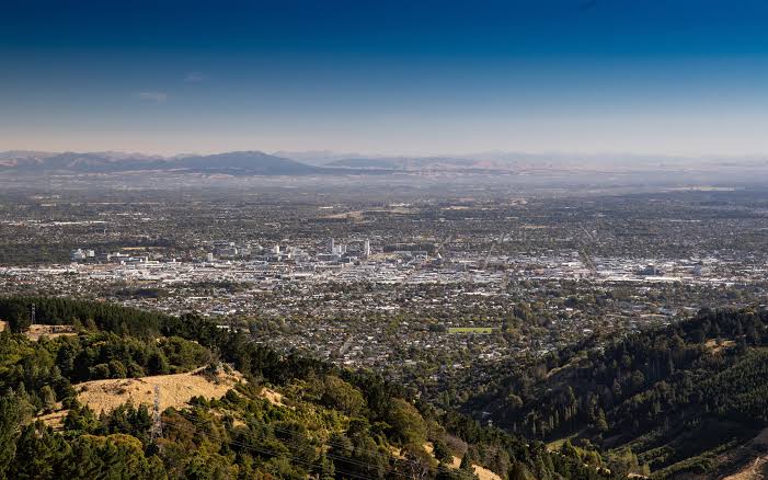
Escaped youth tracked by Eagle helicopter, found hiding in New Brighton
The young person who escaped from a youth justice facility in Rolleston has been located...


The young person who escaped from a youth justice facility in Rolleston has been located...

A person has been seriously injured on State Highway 75, Christchurch Akaroa Road. A police...

BodyFix Gym Christchurch in Phillipstown has taken out two major honours at the Exercise New...

Local MPs have found areas of agreement on major Resource Management Act reforms, during a...

A series of public events have been organised across Christchurch and Lyttelton over the coming...

A woman was taken to hospital after a ‘water incident’ at Parakiore Recreation and Sport...

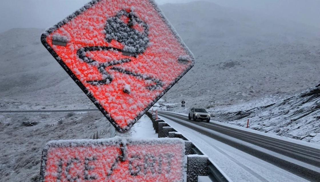
Canterbury ski fields are unlikely to see any significant natural snowfall in the coming days, despite fresh falls across alpine passes this week.
MetService meteorologist John Law told chrislynchmedia.com the weather was expected to turn dry next week as high pressure builds across the region.
“Over the next few weeks, things aren’t looking great in terms of any more precipitation, any more snow, any more rain. It’s actually looking very dry as we head in towards next week,” Law said.
He said the recent snow had been useful for ski fields, but had also caused disruption on alpine roads.
The cold temperatures will still help ski areas make snow, with daytime temperatures remaining low and overnight temperatures falling below freezing, even near sea level.
“That’s great news for the ski fields to try and make their own snow,” Law said.
For Christchurch, Friday night is expected to be mostly dry but cold, with temperatures dropping to about 3 degrees by early Saturday.
Saturday is forecast to be fine, dry and sunny after early cloud breaks up, with a cool southwesterly and a daytime high of about 8 or 9 degrees.
Sunday will start even colder, with temperatures below freezing first thing, before reaching about 11 degrees during the day. An odd shower is possible later in the evening, but most of the weekend is expected to stay dry.