Escaped youth tracked by Eagle helicopter, found hiding in New Brighton
The young person who escaped from a youth justice facility in Rolleston has been located...


The young person who escaped from a youth justice facility in Rolleston has been located...

A person has been seriously injured on State Highway 75, Christchurch Akaroa Road. A police...

BodyFix Gym Christchurch in Phillipstown has taken out two major honours at the Exercise New...

Local MPs have found areas of agreement on major Resource Management Act reforms, during a...

A series of public events have been organised across Christchurch and Lyttelton over the coming...

A woman was taken to hospital after a ‘water incident’ at Parakiore Recreation and Sport...

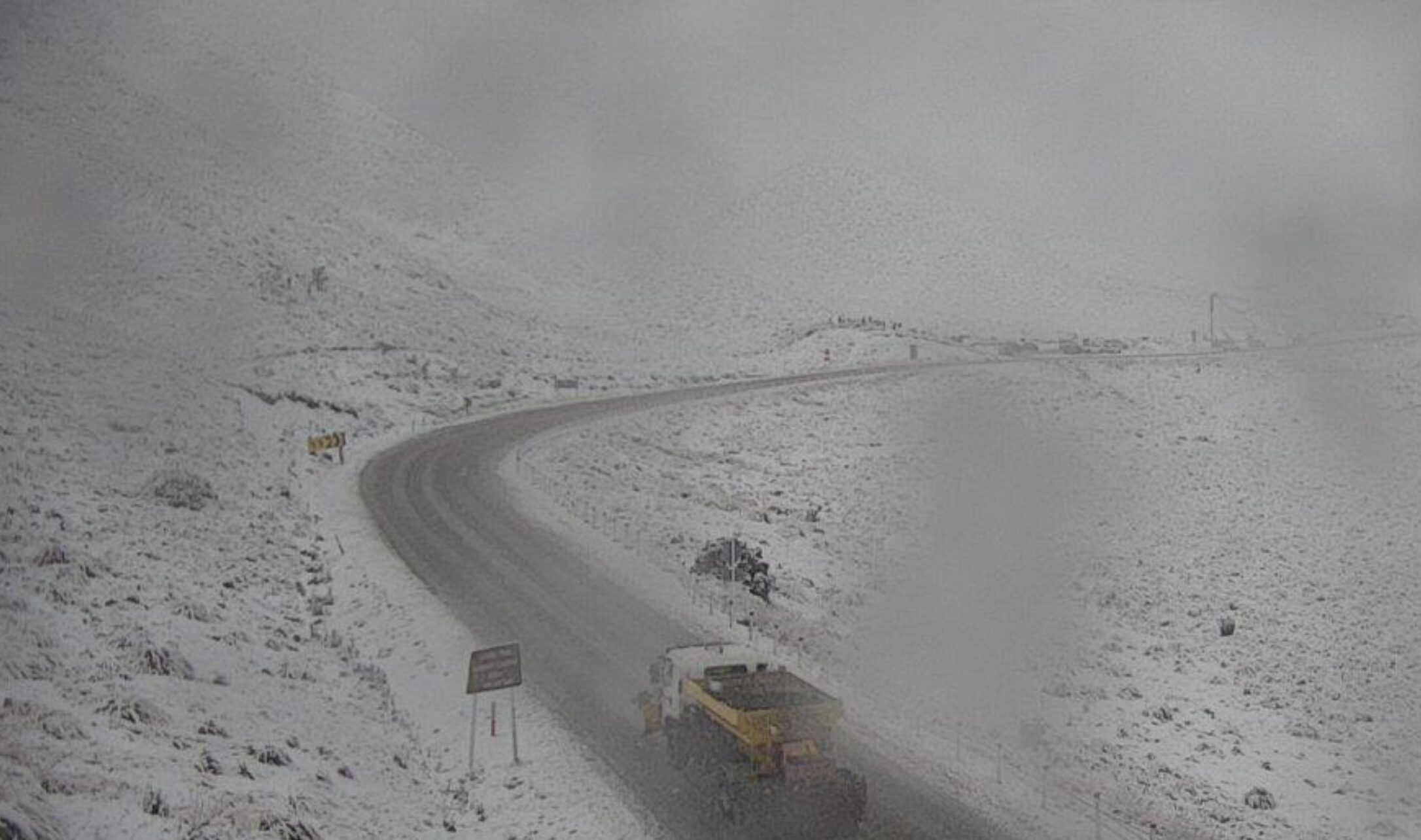
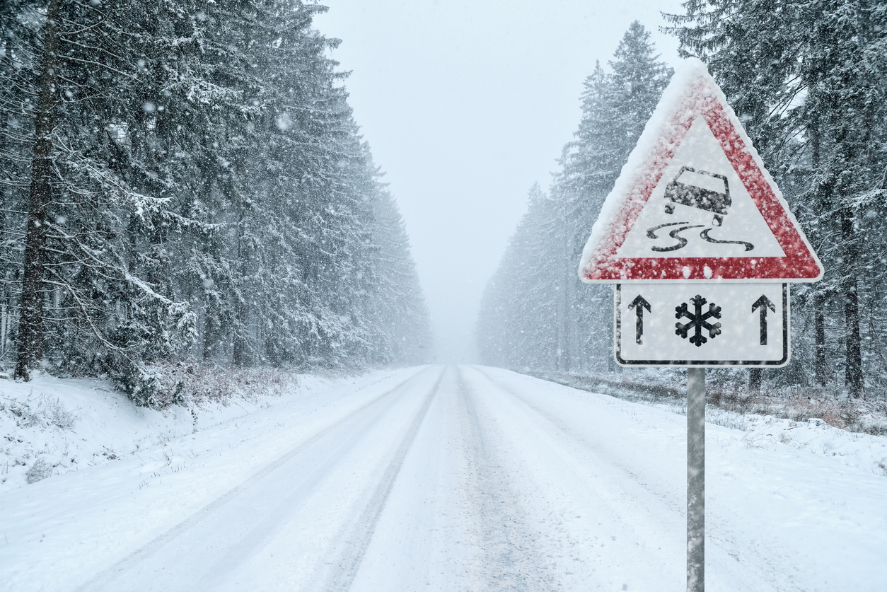
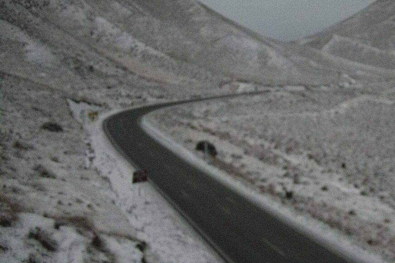
Road users in Otago and northern Southland are expected to be the first in line to face weather disruption as MetService warns of significant snowfall in the region today.
An orange heavy snow warning is in place for Otago, excluding coastal areas, and northern Southland, meaning travel disruption and damage to trees and powerlines is possible.
MetService said snow will potentially fall to low levels in these regions today, and over a metre is possible above 800m elevation. Up to 30cm of snow is forecast between 400 and 600m, especially south of Queenstown to Middlemarch.
Areas not getting snow may be hit with heavy rain, while on the West Coast, there is a MetService strong wind watch because of southeast winds potentially approaching severe gale in exposed places. Snow is expected to develop in Canterbury from tomorrow and could also be significant in places.
Crews for New Zealand Transport Agency will be ready to respond to the weather conditions, and state highways may be closed where necessary for safety reasons, a spokesman said.
With potential for road snow closures and delays, people are advised to carry warm clothes, water and food in case they get stuck, or need to stop and wait for the weather to pass. Ensuring sufficient battery range or petrol in the tank is also advised in case there are detours and diversions required.