Escaped youth tracked by Eagle helicopter, found hiding in New Brighton
The young person who escaped from a youth justice facility in Rolleston has been located...


The young person who escaped from a youth justice facility in Rolleston has been located...

A person has been seriously injured on State Highway 75, Christchurch Akaroa Road. A police...

BodyFix Gym Christchurch in Phillipstown has taken out two major honours at the Exercise New...

Local MPs have found areas of agreement on major Resource Management Act reforms, during a...

A series of public events have been organised across Christchurch and Lyttelton over the coming...

A woman was taken to hospital after a ‘water incident’ at Parakiore Recreation and Sport...

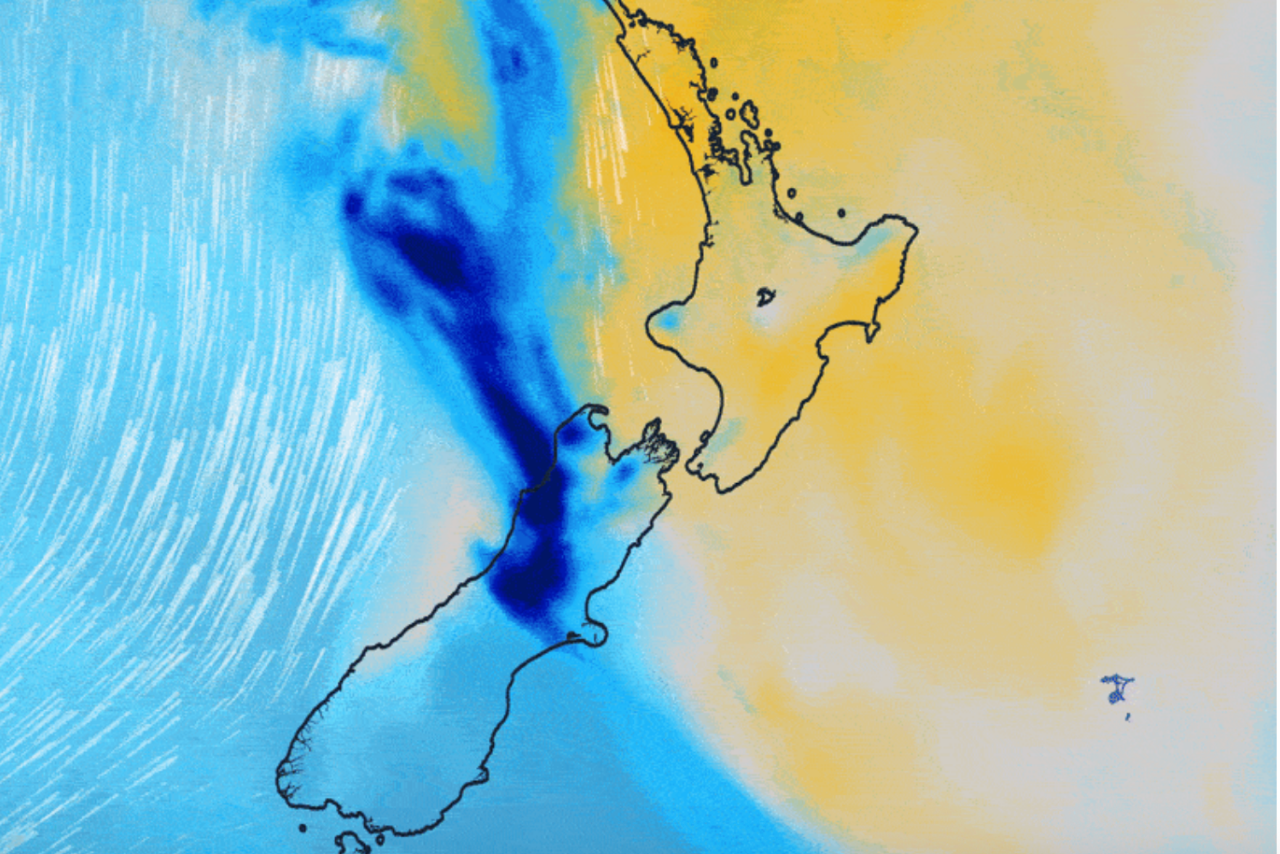
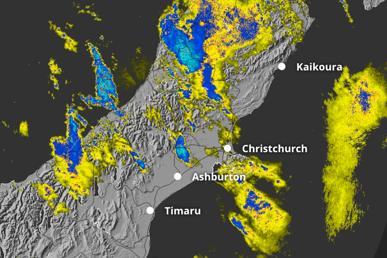
Christchurch and Canterbury are in for a sharp change in weather this week, with warm spring temperatures giving way to a cold southerly and wetter conditions.
MetService forecasts Christchurch, Ashburton and Timaru will reach highs in the low 20s on Tuesday, but struggle to reach 10°C by Thursday.
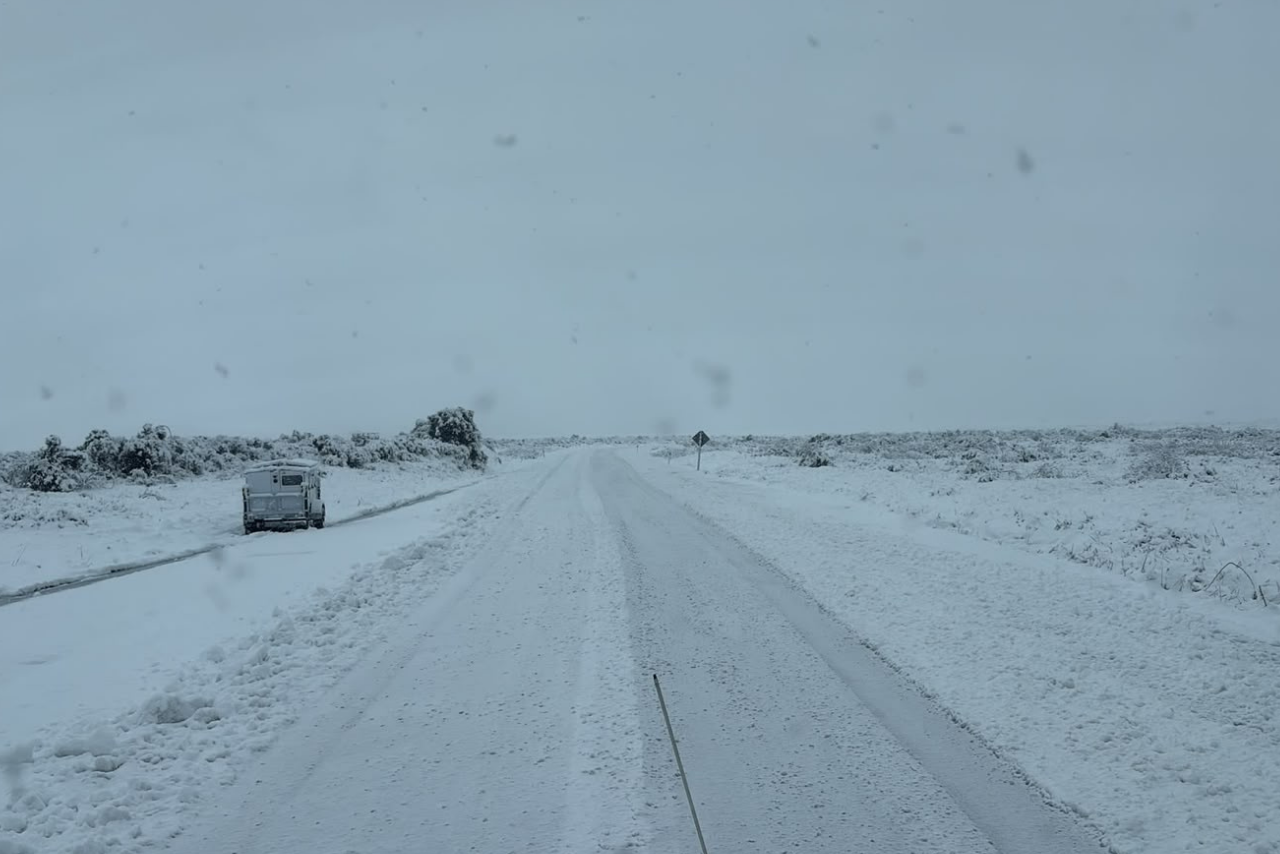
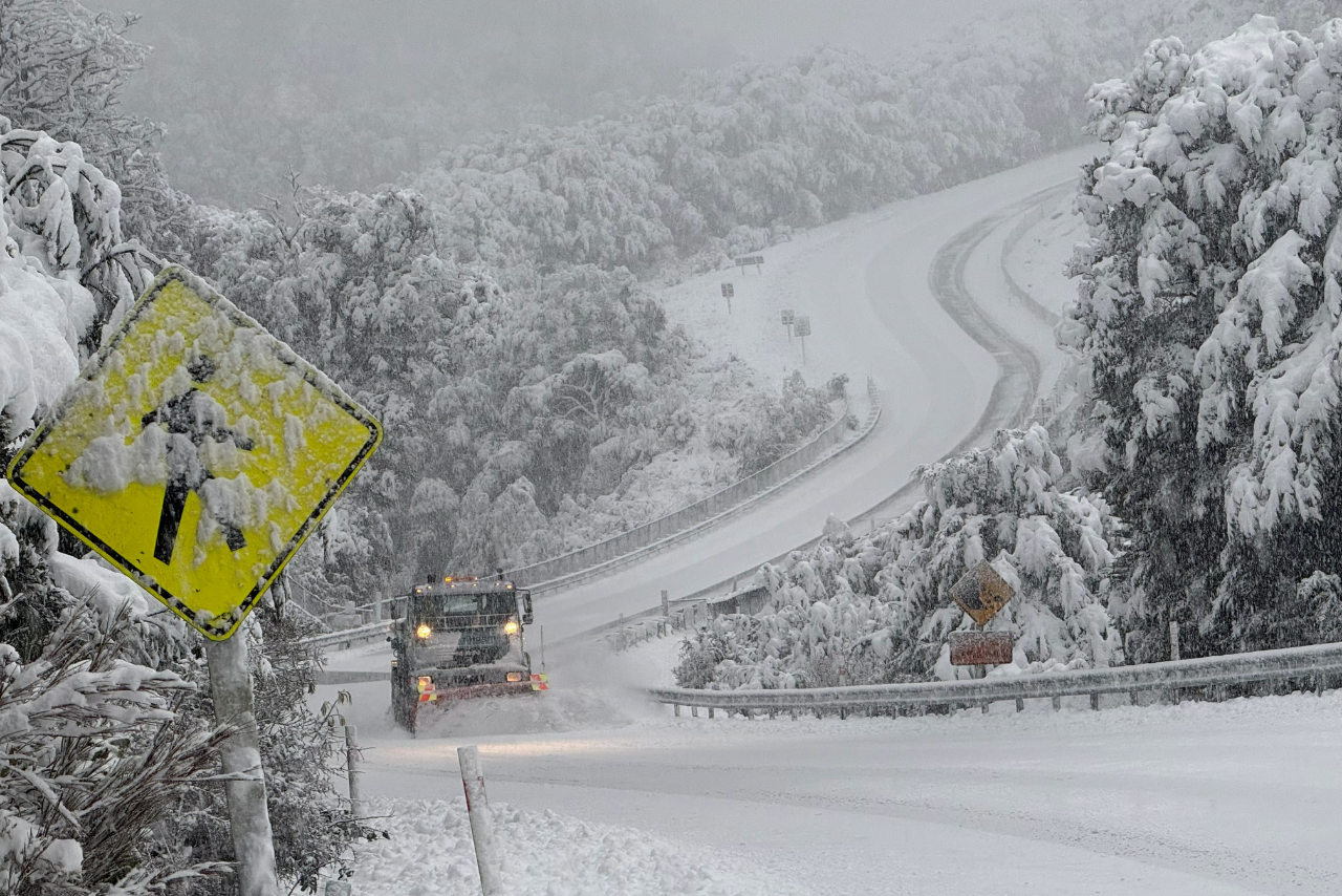
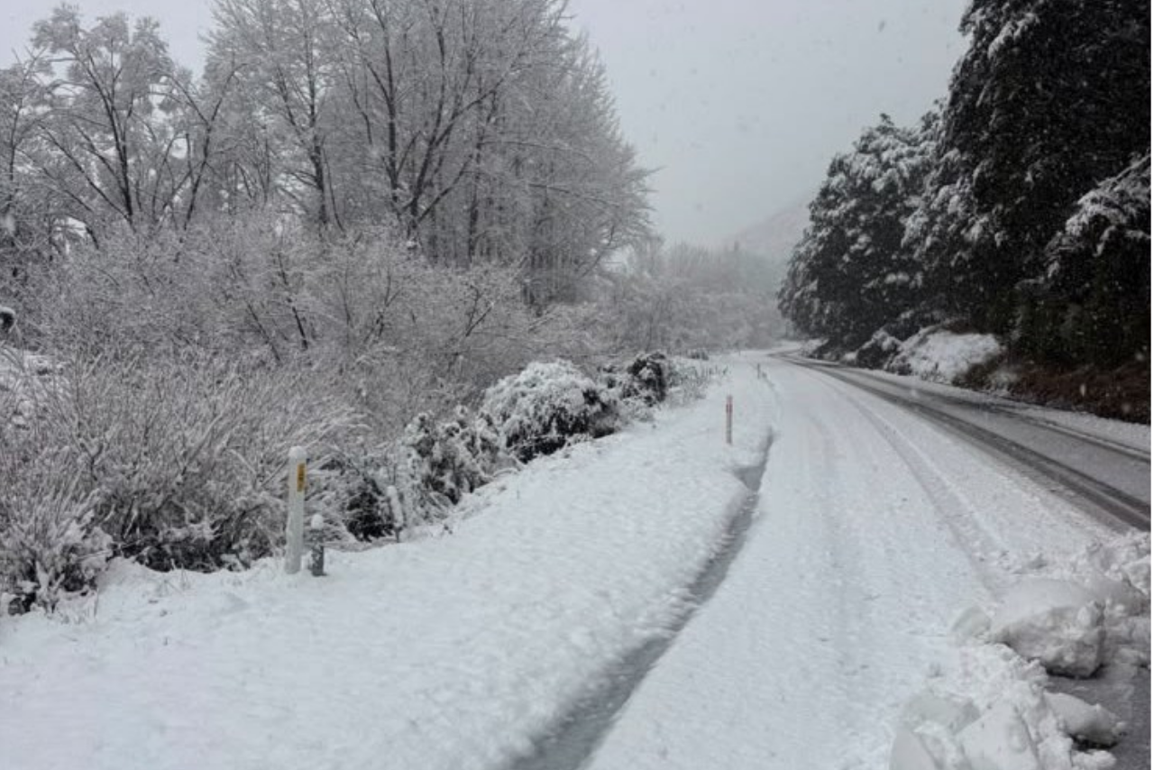
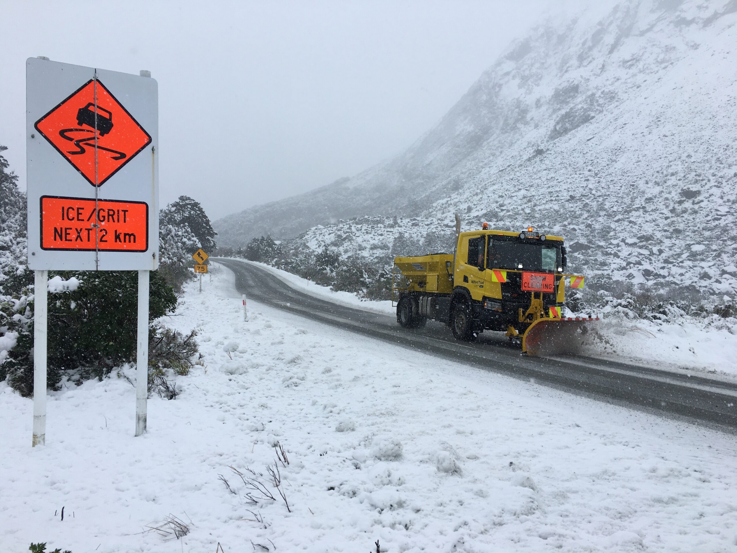
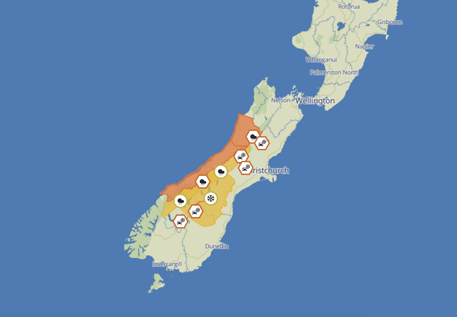
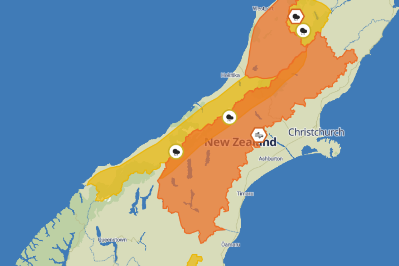
Snow is also expected in parts of the South Island high country, with significant amounts possible on Thursday and potential impacts on higher roads.
Following a settled start to the week, northwesterly winds will strengthen ahead of an approaching cold front, bringing warmer air to eastern parts of the South Island.
The front is expected to reach the South Island on Tuesday, bringing heavy rain to western areas before moving north on Wednesday. For Canterbury, that will mean a switch from mild northwesterlies to a noticeably cooler southerly flow.
MetService meteorologist Maddy Neal said the change would be a reminder that warmer weather was not yet here to stay.
“Despite being well into spring, winter isn’t quite finished with us yet.”
Neal said the combination of moisture arriving from the north and colder air near the surface could produce substantial snowfall at higher elevations.
“Moisture drawn down from the north will move over a layer of colder air near the surface, creating a setup that is favourable for large amounts of snow at higher elevations.
“This may affect some of the higher roads in the south on Wednesday and Thursday, so keep an eye out for Road Snow Warnings.”
The system will continue north through Wednesday and Thursday, bringing rain and stronger winds to much of the North Island before gradually weakening on Friday.