Escaped youth tracked by Eagle helicopter, found hiding in New Brighton
The young person who escaped from a youth justice facility in Rolleston has been located...


The young person who escaped from a youth justice facility in Rolleston has been located...

A person has been seriously injured on State Highway 75, Christchurch Akaroa Road. A police...

BodyFix Gym Christchurch in Phillipstown has taken out two major honours at the Exercise New...

Local MPs have found areas of agreement on major Resource Management Act reforms, during a...

A series of public events have been organised across Christchurch and Lyttelton over the coming...

A woman was taken to hospital after a ‘water incident’ at Parakiore Recreation and Sport...

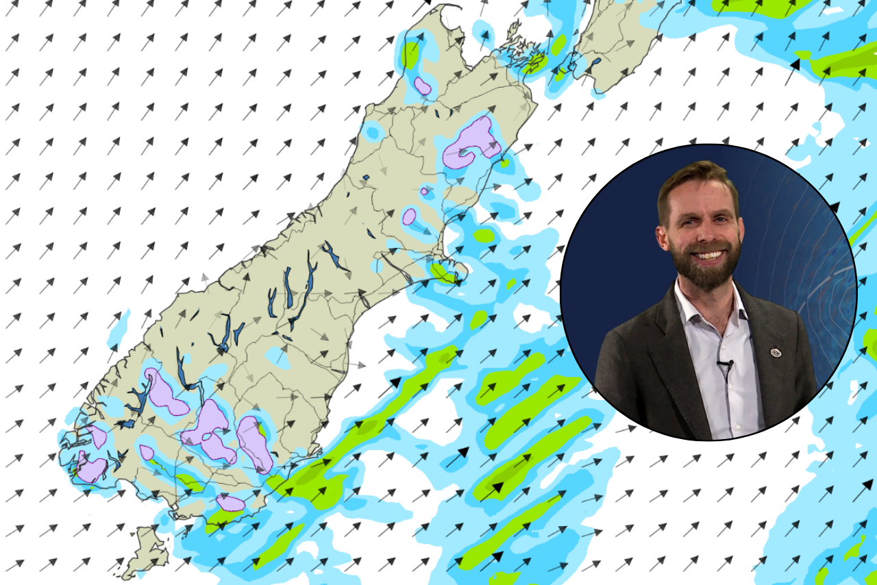
Canterbury is in for a sunny weekend, with Christchurch expected to reach 23C on Sunday after another unsettled Friday brought the risk of thunderstorms, hail and strong southerlies.
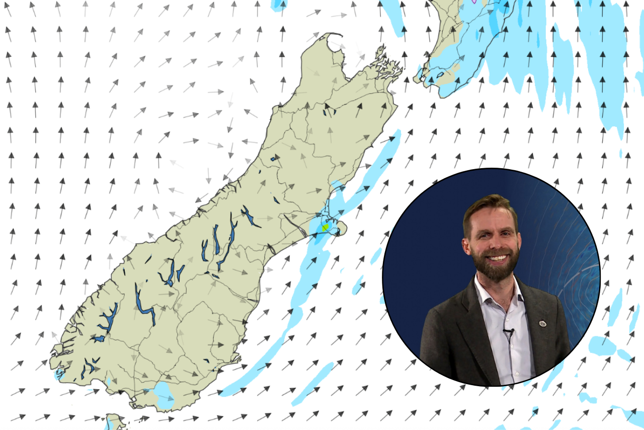
MetService meteorologist John Law told chrislynchmedia.com a large area of high pressure would bring more settled weather for the weekend, although Saturday would begin with a chill.
Christchurch was forecast to drop to about 1C overnight on Friday before reaching around 16C on Saturday.
“Saturday, fine, dry and sunny, and Sunday, not much different either,” Law said.
“We’ll find it’s a little bit warmer on Sunday. Highs about 23 degrees Celsius compared to 16 or so on Saturday.”
Before that improvement, Law said Canterbury still faced the chance of further thunderstorms on Friday afternoon, with possible hail and strong southerly winds.
He encouraged people to keep an eye on MetService’s rain radar, forecasts and any watches or warnings.
The unsettled end to the week followed Thursday’s powerful thunderstorms, which produced large hail and what appeared to be a tornado.
Law said photographs he had seen showed hailstones measuring about 30 millimetres, or three centimetres, across.
“That’s a pretty substantial size,” he said.
He said MetService issued severe thunderstorm watches and warnings for storms capable of producing hail around 25 millimetres or larger.
Hail of that size could damage crops, cars and property, with spring growth particularly vulnerable.
The size of Thursday’s hailstones also indicated the strength of the storm’s internal winds.
Law explained that strong updrafts kept hailstones suspended within thunderstorm clouds, allowing them to accumulate more ice before becoming too heavy and falling to the ground.
Asked about footage of a possible tornado on Thursday, Law said observations from the ground were particularly valuable because small tornadoes were difficult to detect using radar and satellites.
He said the footage, alongside a review of radar images, suggested a tornado had occurred in association with the powerful thunderstorm that moved through on Thursday afternoon.
“It does look like it was a tornado that ran through,” he said.