Escaped youth tracked by Eagle helicopter, found hiding in New Brighton
The young person who escaped from a youth justice facility in Rolleston has been located...


The young person who escaped from a youth justice facility in Rolleston has been located...

A person has been seriously injured on State Highway 75, Christchurch Akaroa Road. A police...

BodyFix Gym Christchurch in Phillipstown has taken out two major honours at the Exercise New...

Local MPs have found areas of agreement on major Resource Management Act reforms, during a...

A series of public events have been organised across Christchurch and Lyttelton over the coming...

A woman was taken to hospital after a ‘water incident’ at Parakiore Recreation and Sport...


Christchurch is set to emerge from this week’s bitter cold snap, with milder overnight temperatures expected across the weekend, but the trade-off will be cloud and rain.
MetService meteorologist Alwyn Bakker told Chris Lynch Media the large ridge of high pressure responsible for the recent run of clear skies, heavy frosts and sub-zero mornings was now moving away.
“Pretty much all of the good weather is on the way out,” Bakker said.
Saturday is expected to begin with high cloud and another morning frost, although conditions should be noticeably less severe than those experienced across Canterbury this week.
“It won’t be quite as cold as it has been. There’ll be some places that might get negative, but it won’t be quite so bad,” he said.
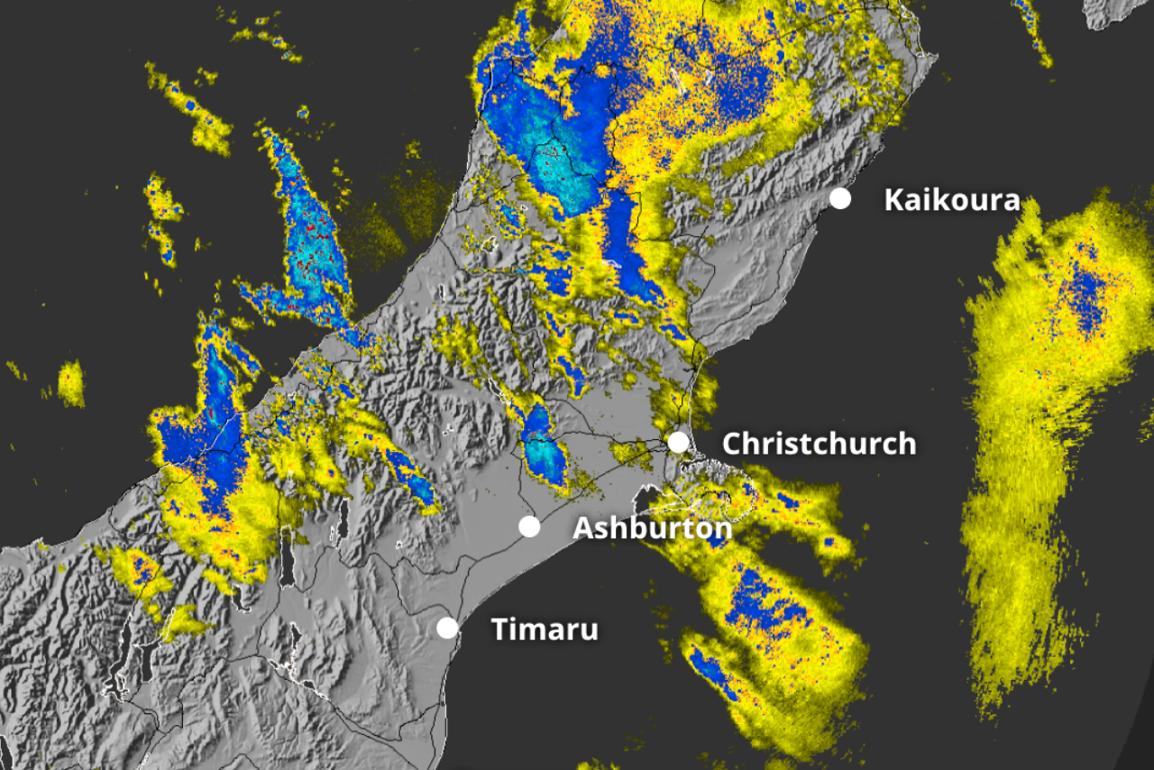
Rain is forecast to reach Christchurch later on Saturday evening before clearing overnight, with Sunday expected to remain cloudy.
There is also a chance of further rain heading into Monday.
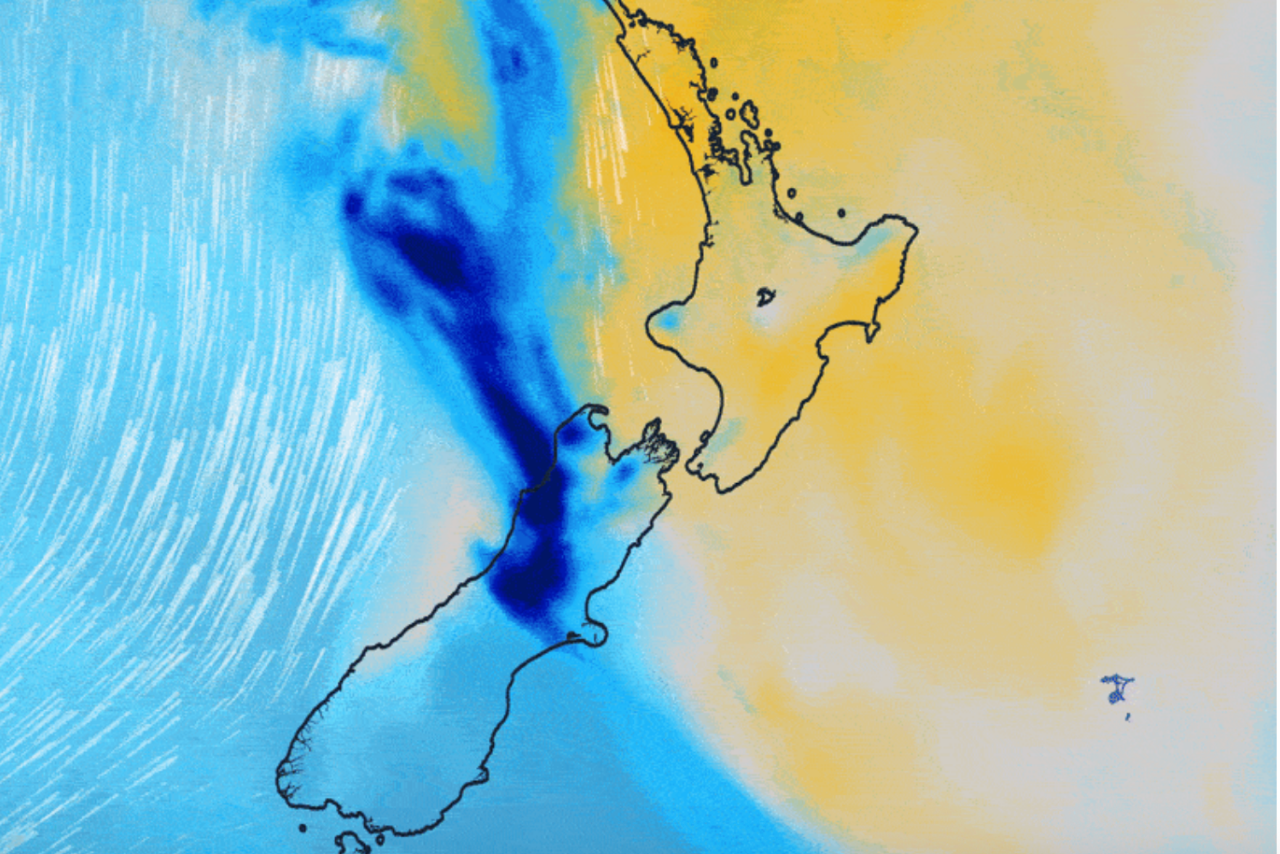
Bakker said the change was being driven by a front moving in from the Tasman Sea as the ridge of high pressure shifted northeast.
“We’ve had this big ridge of high pressure that’s been lying over the top of us, and that’s on the way out.
“That’s letting this front sneak in from the Tasman Sea.”
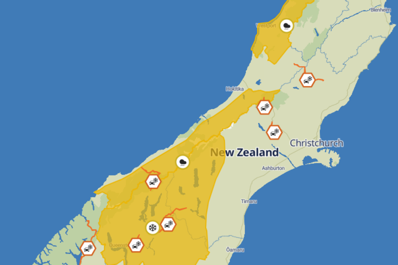
The front is expected to bring considerably wetter conditions to the West Coast, with a Heavy Rain Watch in place for Buller.
Some of that rain will make its way across the Southern Alps into Canterbury, although Christchurch is not expected to see the same intensity as areas further west.
“It’s not going to be as bad as it would be further west and further north,” Bakker said.
The arrival of rain following several days of very cold temperatures could also create an increased risk of ice in some areas.
Bakker said rain falling onto sufficiently cold ground could freeze, creating conditions more hazardous than an ordinary frost.
“Frost is lots of little tiny ice particles, which is why it’s kind of white and crunchy, as opposed to ice, especially black ice, which is a lot more dangerous.
“That’s quite clear, quite smooth, which is why it’s slippery.”
The risk is expected to be greater in colder parts of the Canterbury Plains, particularly further south, where temperatures could still fall to around minus one degree overnight.
However, the broader trend is towards warmer nights.
Bakker said the same weather system bringing rain from the Tasman Sea was also carrying relatively warmer air.
“The good news about getting this rain coming in from the Tasman Sea is it’s associated with a bunch of warm air as well, or warm-ish air, less cold air.
“That’s going to be popping up the overnight temperatures a bit as well, so it won’t be quite as bitterly cold.”
Christchurch daytime temperatures are expected to reach about 12 degrees across the weekend, which Bakker said was close to average for winter.
Across the wider South Island, conditions are also expected to moderate following several exceptionally cold mornings.
“There are a few places that’ll be negative, but they’re kind of only just negative, minus one or minus two degrees, rather than some of the minus six, minus 10 that’s been going on over the last few days.”
Some parts of the South Island could reach around 16 degrees during the weekend.
Bakker said increasing cloud cover would also help prevent temperatures from plunging as sharply overnight.
Clear winter nights allow heat stored in the ground to escape rapidly into the atmosphere, while cloud acts as a layer that helps retain some of that warmth.
“If you’ve got clear skies, all of the heat from the earth just radiates off into space.
“The clouds kind of trap it and reflect it back, so it keeps everything just that little bit warmer.”
He said that was also why the coldest frosty mornings were often accompanied by clear, crisp skies.
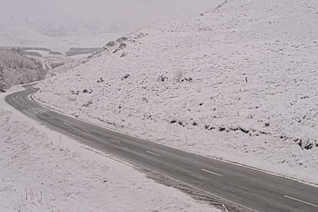
There is also a chance of snow on parts of the South Island ranges between Saturday night and Sunday morning as the front moves through.