Escaped youth tracked by Eagle helicopter, found hiding in New Brighton
The young person who escaped from a youth justice facility in Rolleston has been located...


The young person who escaped from a youth justice facility in Rolleston has been located...

A person has been seriously injured on State Highway 75, Christchurch Akaroa Road. A police...

BodyFix Gym Christchurch in Phillipstown has taken out two major honours at the Exercise New...

Local MPs have found areas of agreement on major Resource Management Act reforms, during a...

A series of public events have been organised across Christchurch and Lyttelton over the coming...

A woman was taken to hospital after a ‘water incident’ at Parakiore Recreation and Sport...

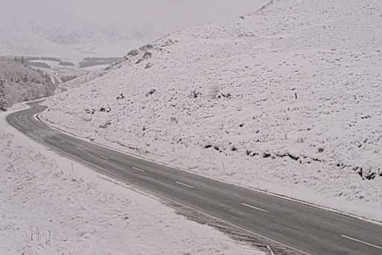
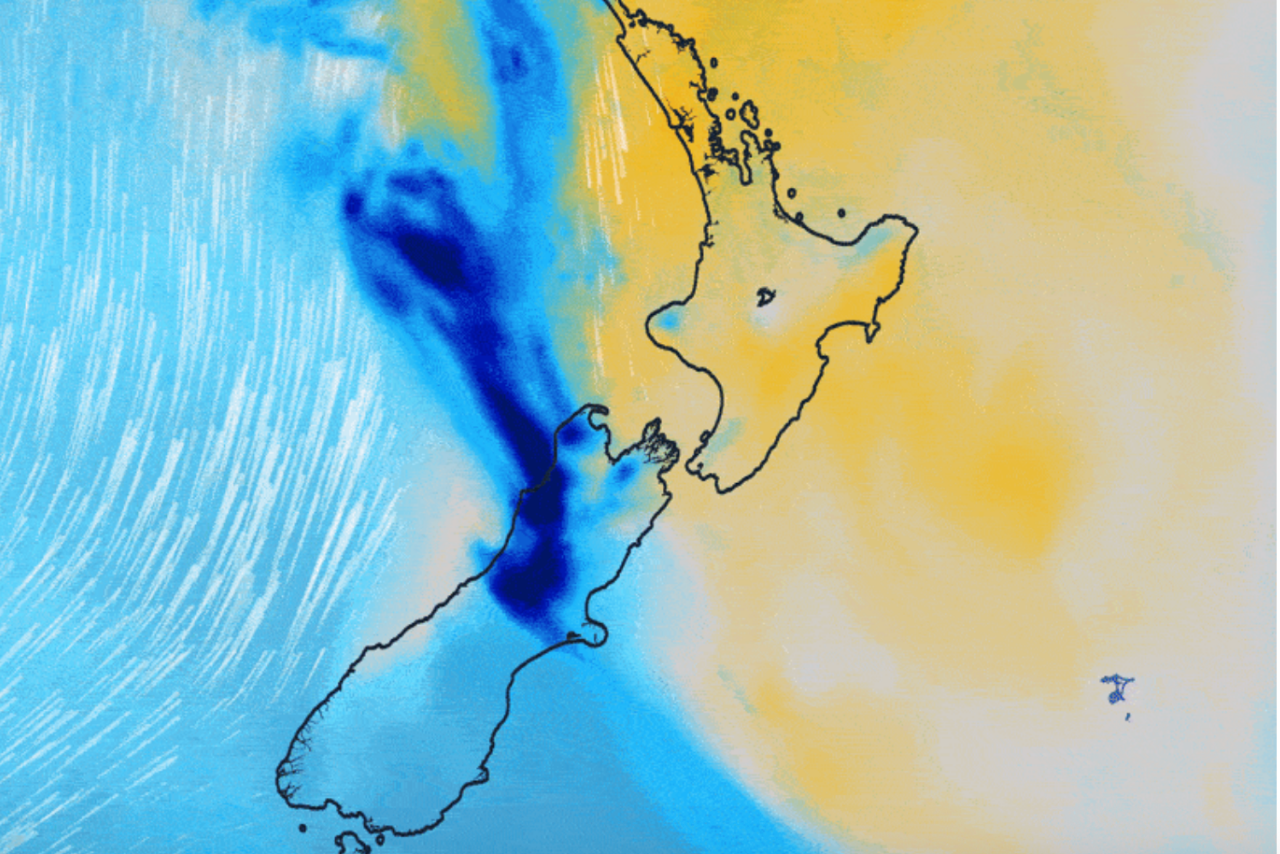
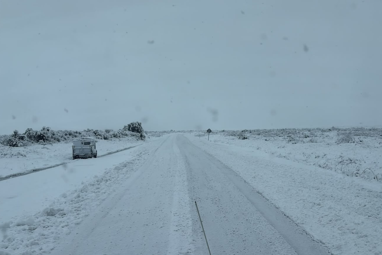
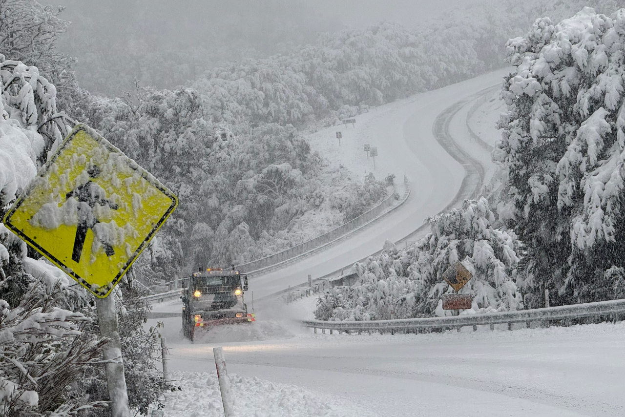
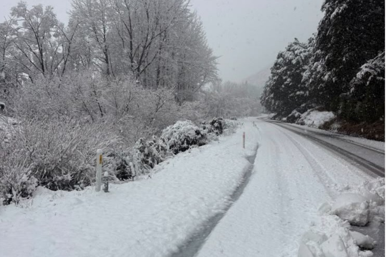
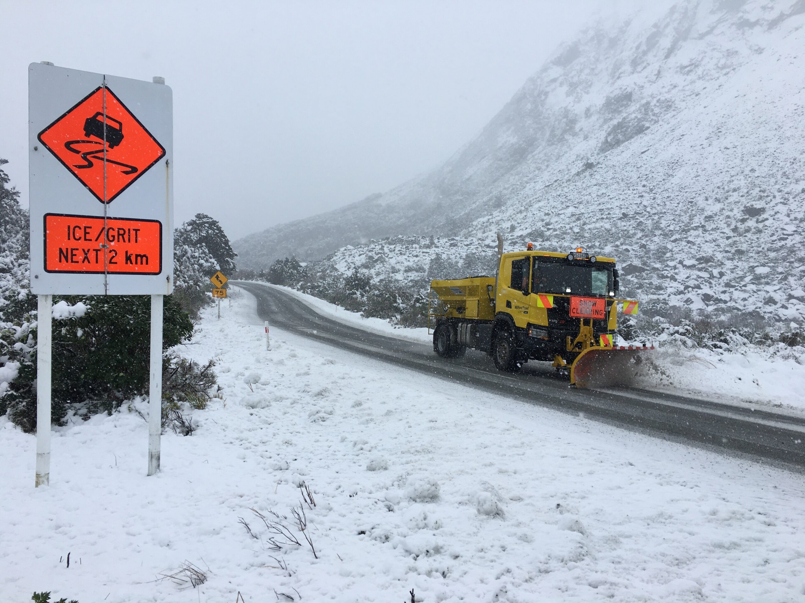
Christchurch and parts of the South Island could see snow falling to low levels on Tuesday morning as a strong southerly blast delivers a wintry start to the week.
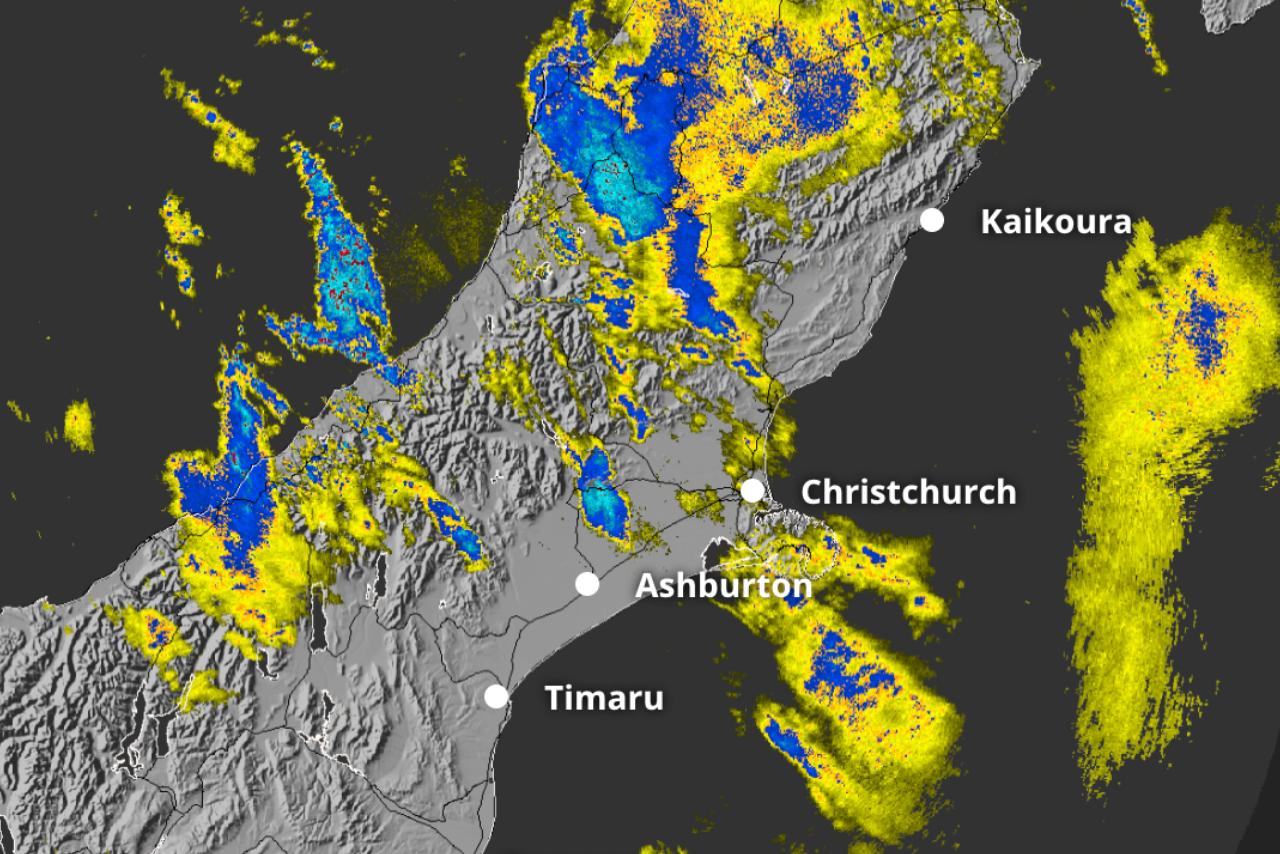
MetService said snow showers were expected to drop across eastern parts of the country during Monday night and Tuesday, following a dusting on higher hills over the weekend.
Meteorologist Silvia Martino said people in Canterbury and Otago could see snowflakes falling in urban areas.
“Keep your eyes peeled for flakes falling right down into town on Tuesday morning if you’re in Otago or Canterbury,” Martino said.
Motorists in Christchurch and Dunedin were being urged to check regional snow forecasts before travelling on Tuesday morning.
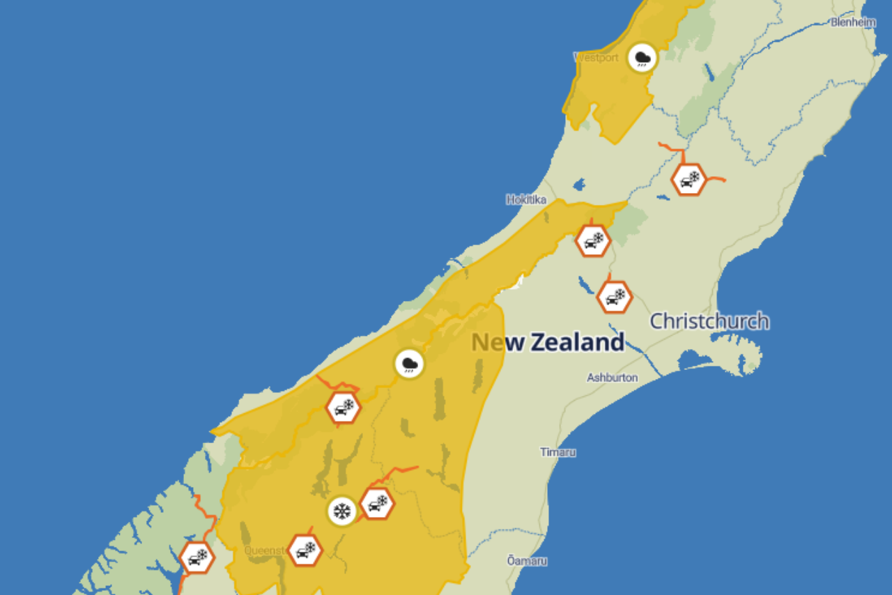
Road Snowfall Warnings had already been issued for Lewis Pass, Porters Pass, the Crown Range Road, the Dunedin to Waitati section of State Highway 1 and the Remutaka Hill Road.
Other roads across eastern parts of the South Island could also be affected as snow levels fall.
“Check the snow level in your regional forecast to prepare if you’re going to be driving, particularly in Dunedin and Christchurch on Tuesday morning, and keep up with any updates on road conditions from NZTA Waka Kotahi and local council or emergency management,” Martino said.
The wintry showers were expected to clear across much of the country later on Tuesday as high pressure brought calmer winds, clear skies and sunny days.
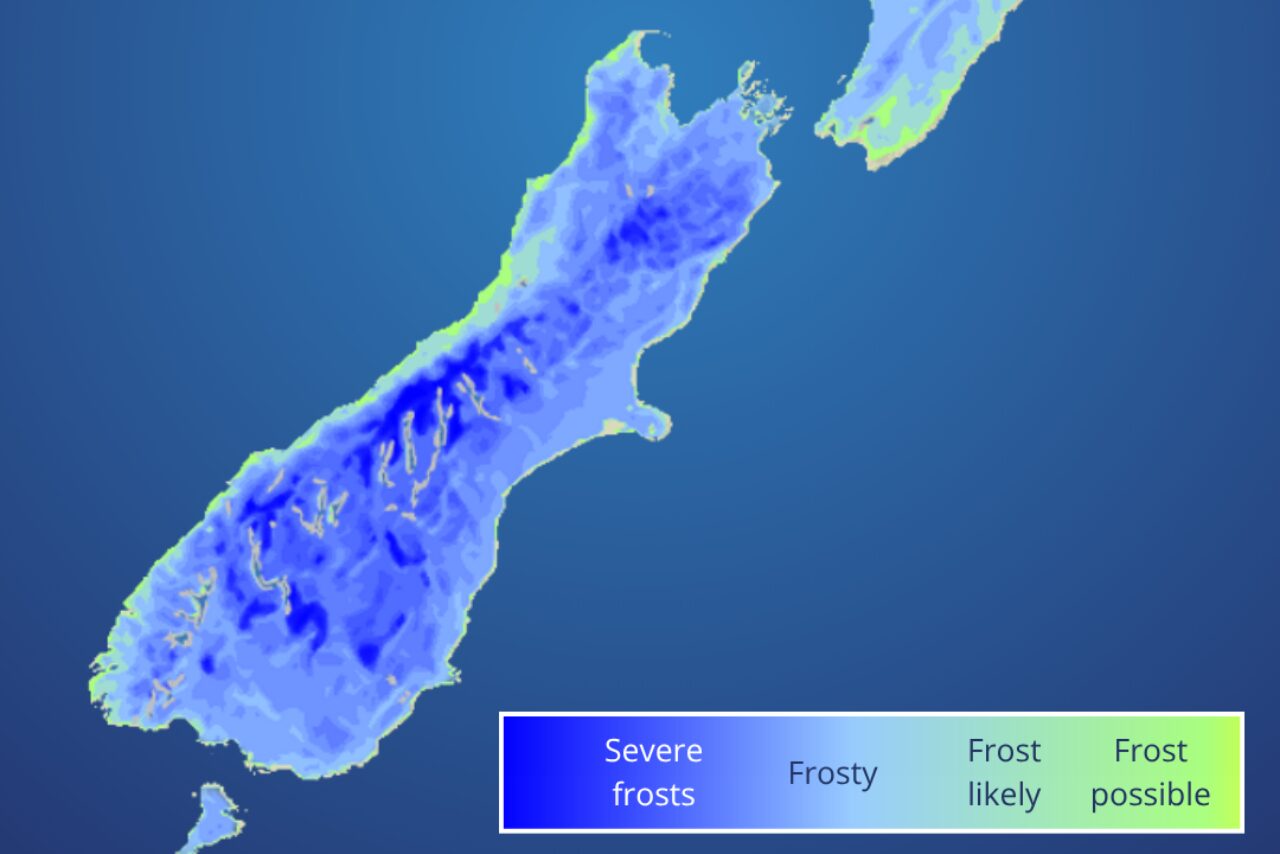
However, those conditions were also expected to produce widespread frosts and some of the coldest overnight temperatures recorded so far this year.
MetService said temperatures could fall to their lowest levels of 2026 across many parts of the country from Wednesday morning, with Thursday expected to be the coldest morning of the week for most places.
“Even for our coldest month of the year, these are exceptionally cold overnight temperatures,” Martino said.
The spell of clear and settled weather was not expected to last, with another band of cloud and rain forecast to approach from the Tasman Sea towards the end of the working week.