Escaped youth tracked by Eagle helicopter, found hiding in New Brighton
The young person who escaped from a youth justice facility in Rolleston has been located...

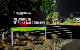
The young person who escaped from a youth justice facility in Rolleston has been located...

A person has been seriously injured on State Highway 75, Christchurch Akaroa Road. A police...

BodyFix Gym Christchurch in Phillipstown has taken out two major honours at the Exercise New...

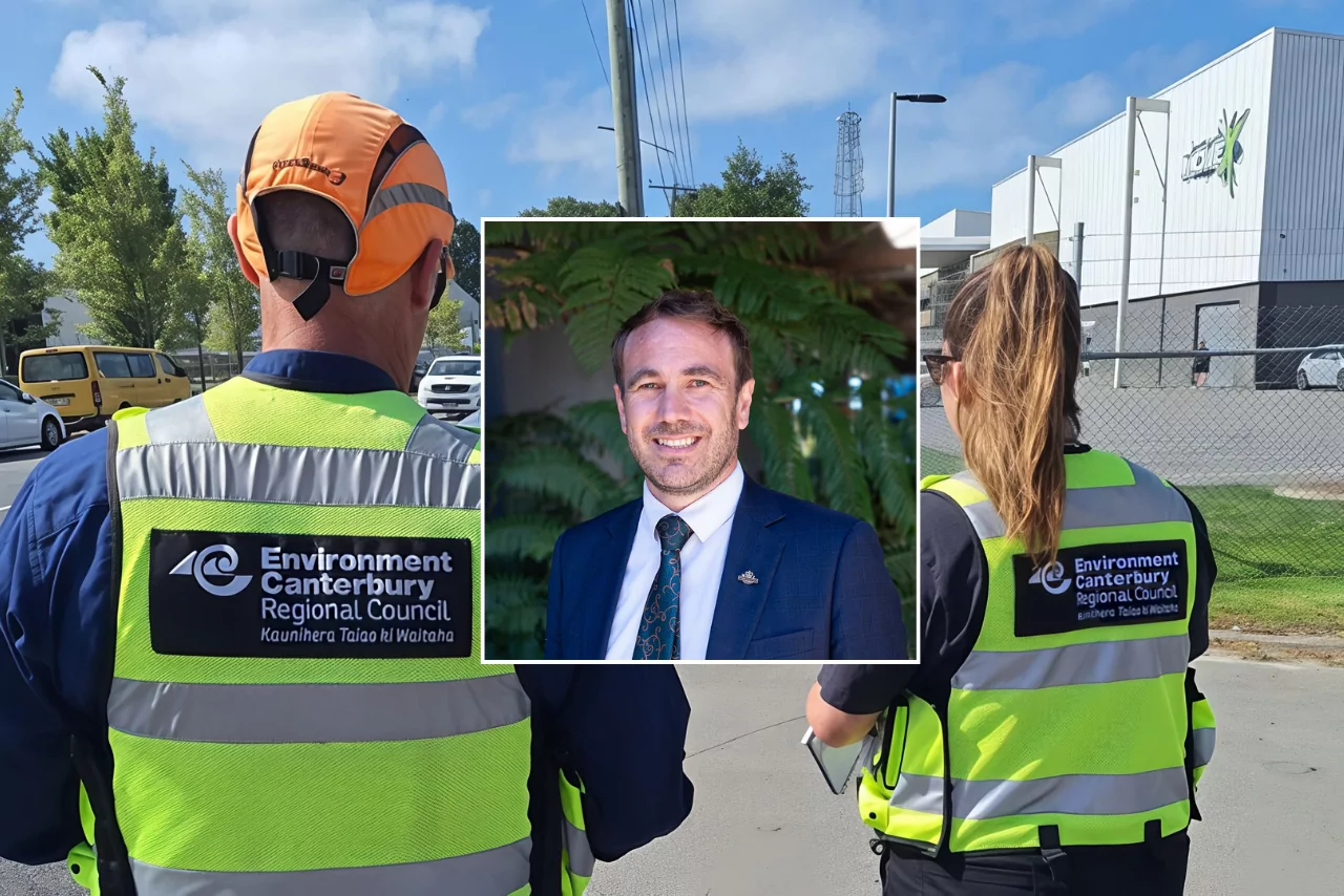
Local MPs have found areas of agreement on major Resource Management Act reforms, during a...
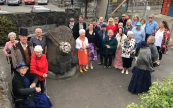
A series of public events have been organised across Christchurch and Lyttelton over the coming...

A woman was taken to hospital after a ‘water incident’ at Parakiore Recreation and Sport...
Blue Skies weather says a southwesterly airflow will become very cold on Tuesday next week as the first in a series of troughs tilts the airflow southerly. These troughs could bring snow flurries to low levels, although chiefly on Banks Peninsula and near the coast.
For farmers:
Early days to hone in on details, but there are indications of 3-5cm possible to near sea level on the Plains on Tuesday evening and Tuesday night. 5-10cm may accumulate above 200m on Banks Peninsula. 1-3cm likely on the inland hill country. Further light snow flurries to 200m or lower are possible on Banks Peninsula on Wednesday and Thursday.
For travellers:
There is likely to be disruption on some Banks Peninsula roads Tuesday night and Wednesday.
There is a risk of some disruption on roads on the eastern Plains on Tuesday night.
Elsewhere
Low level snow will also affect Southland and Otago on Tuesday and Wednesday.