Escaped youth tracked by Eagle helicopter, found hiding in New Brighton
The young person who escaped from a youth justice facility in Rolleston has been located...


The young person who escaped from a youth justice facility in Rolleston has been located...

A person has been seriously injured on State Highway 75, Christchurch Akaroa Road. A police...

BodyFix Gym Christchurch in Phillipstown has taken out two major honours at the Exercise New...

Local MPs have found areas of agreement on major Resource Management Act reforms, during a...

A series of public events have been organised across Christchurch and Lyttelton over the coming...

A woman was taken to hospital after a ‘water incident’ at Parakiore Recreation and Sport...

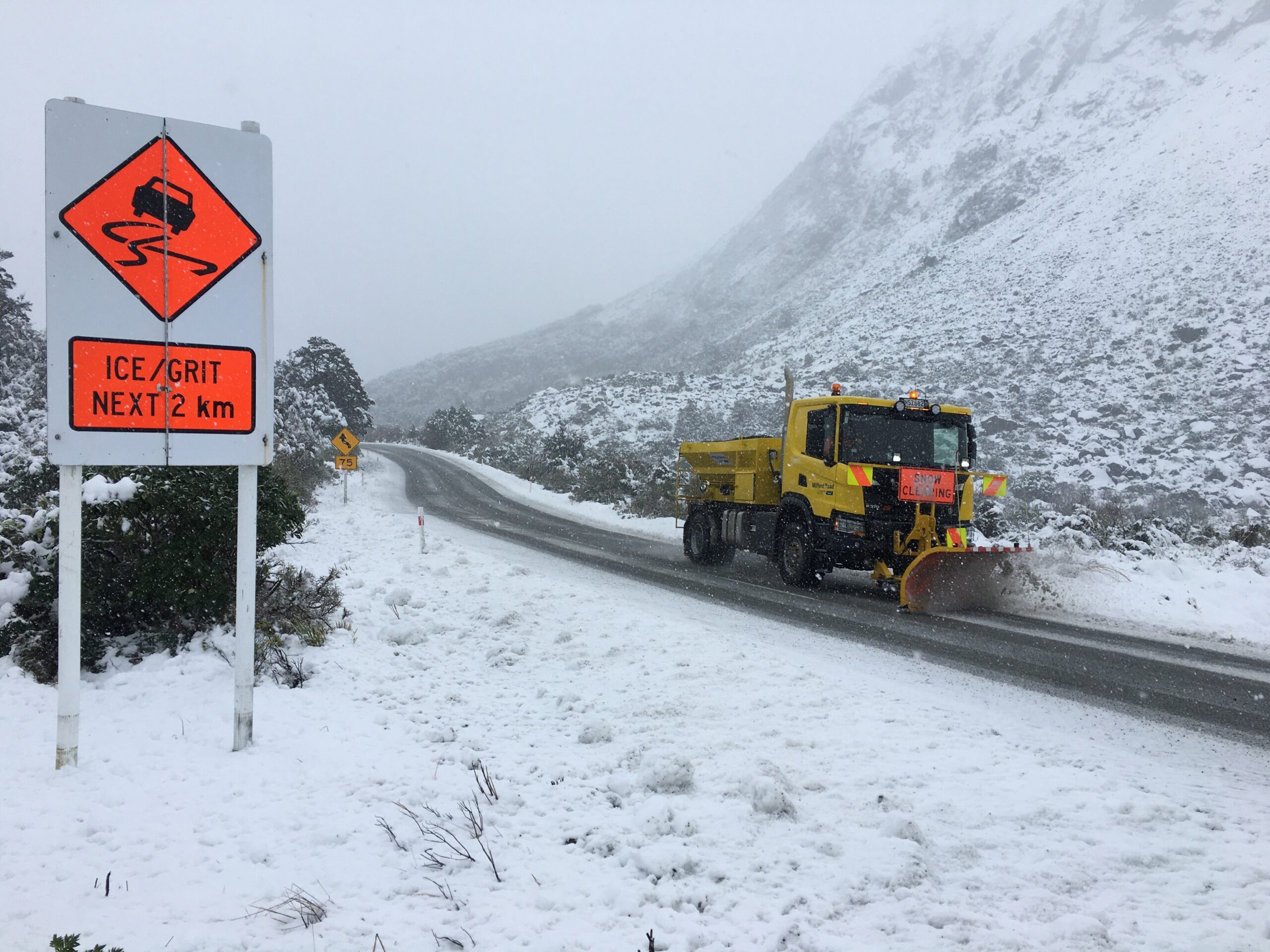
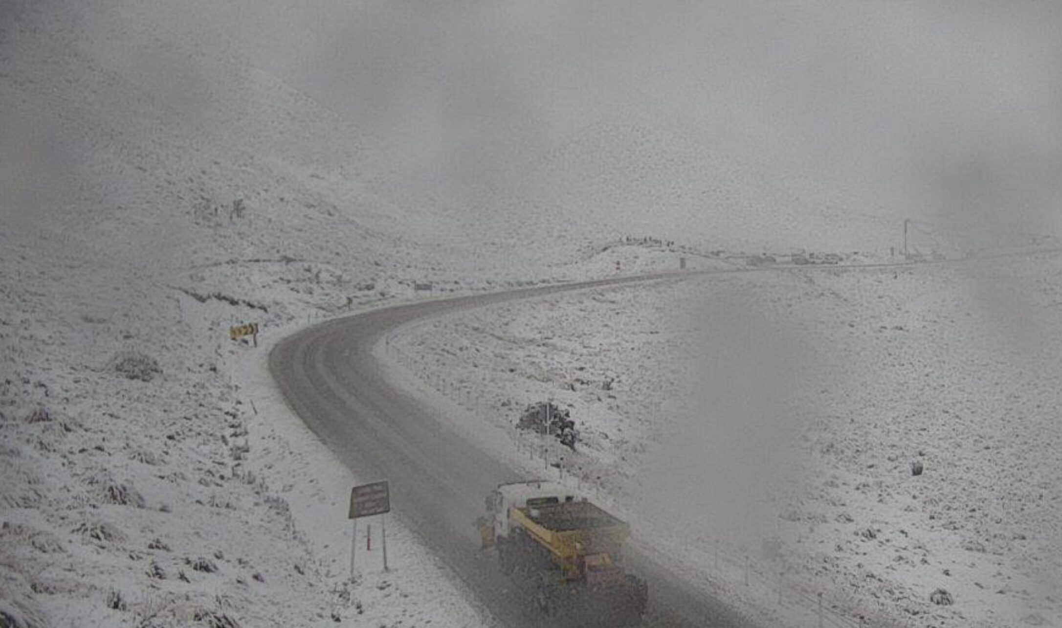
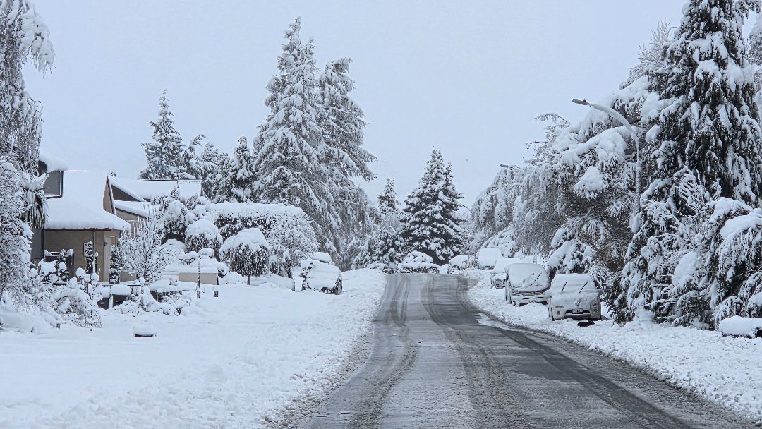
Heavy rain, snow and flooding have battered parts of the South Island overnight, forcing the closure of state highways and local roads.
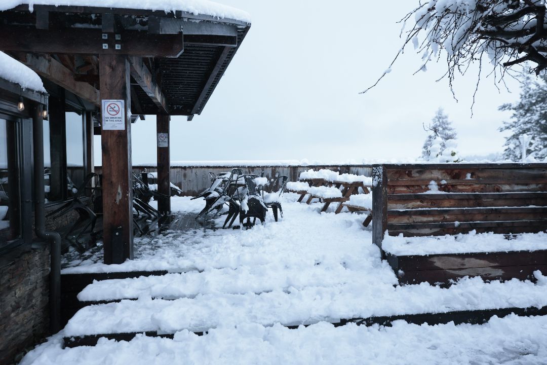
In the Mackenzie Basin, Lake Tekapo and Mount Cook Village received about 25 centimetres of snow over 12 hours.
A heavy snow watch is in place for South Canterbury south of the Rangitata River until midnight tonight, with periods of heavy snow expected above 800 metres and amounts possibly approaching warning criteria. Lighter falls are possible down to 400 metres.
Icy conditions caused major disruption on State Highway 8, also known as Fairlie Tekapo Highway, about 6pm on Sunday, when around 12 vehicles and a large truck were involved in crashes. One vehicle left the road.
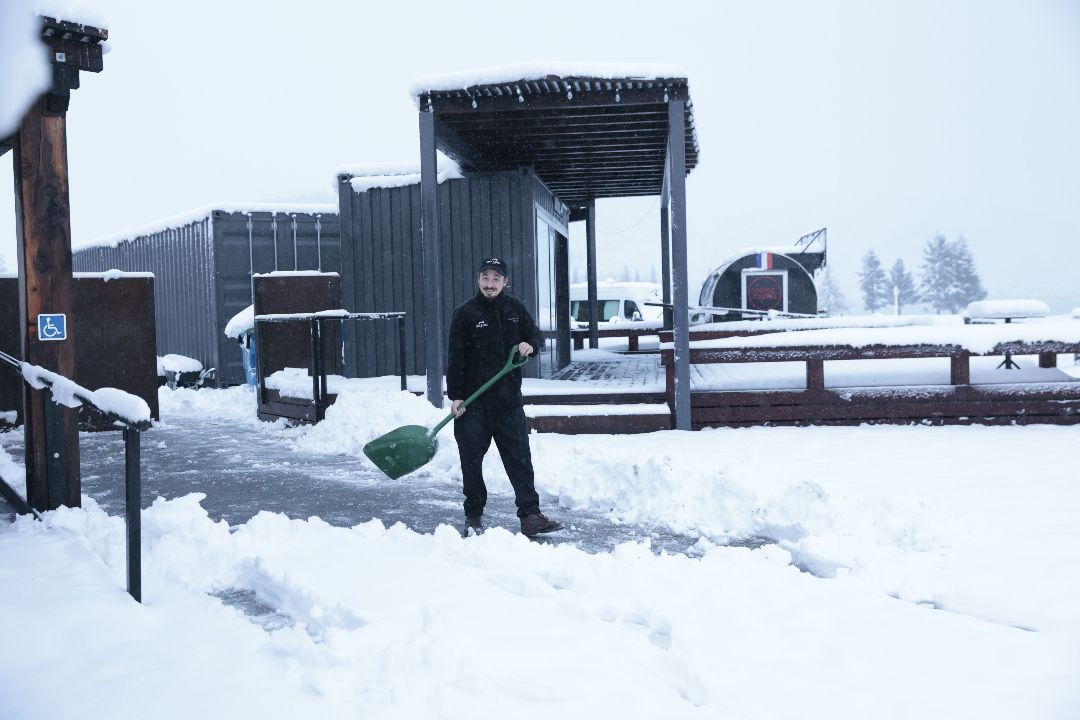
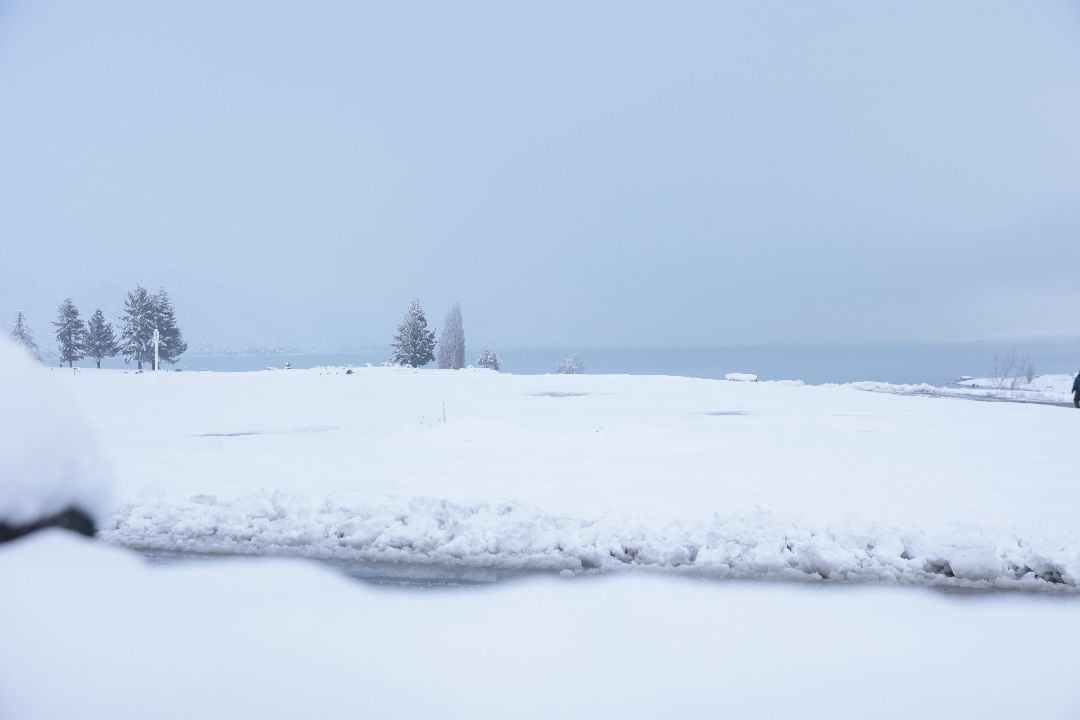
Lake Tekapo on Monday morning / photo credit: The MaGik in ME Photography
An orange heavy rain warning has been issued for Marlborough and inland Canterbury north of Lake Sumner, with forecasters warning of dangerous river conditions, flooding, slips and possible road closures.
The warning is from 4pm today until midnight tomorrow, excluding the Marlborough Sounds.
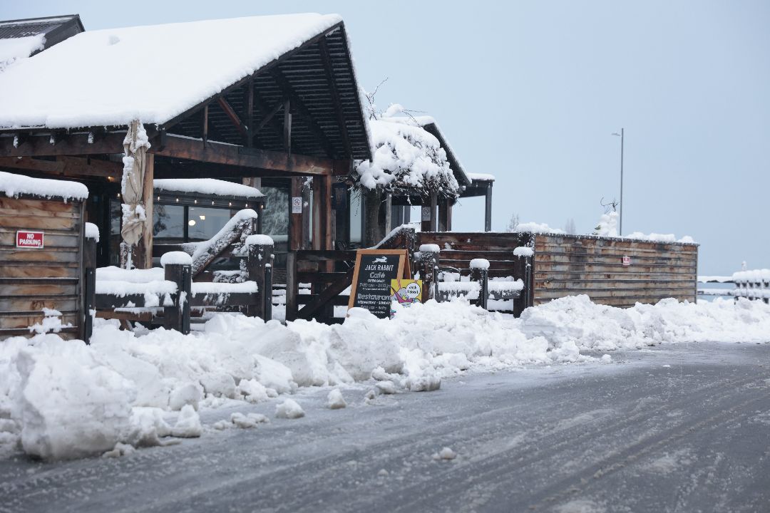
Lake Tekapo on Monday morning / photo credit: The MaGik in ME Photography
MetService said 150 to 200 millimetres of rain was expected about the ranges, with possibly 300 millimetres about the Inland and Seaward Kaikōura Ranges.
Nearer the coast, 60 to 100 millimetres of rain is likely during the same period.
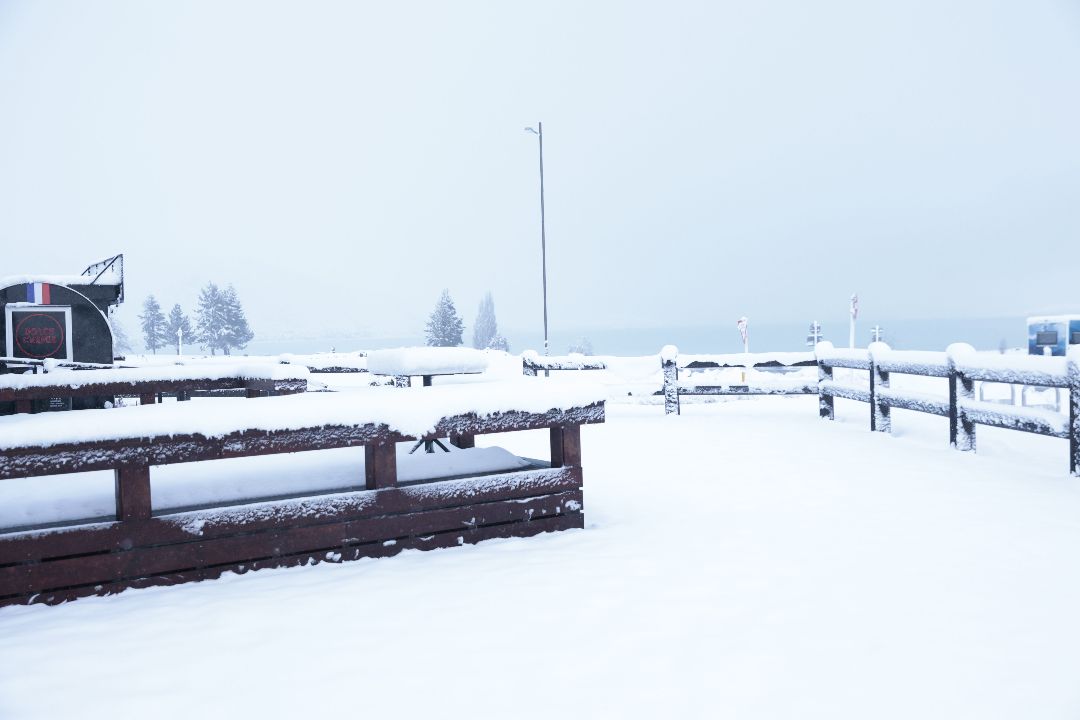
Lake Tekapo on Monday morning / photo credit: The MaGik in ME Photography
Peak rainfall rates of 15 to 25 millimetres an hour are expected about the ranges tonight and tomorrow morning.
The freezing level is expected to sit around 1800 metres, with snow likely above 1400 metres.
MetService said there was a high chance the warning could be upgraded to a red warning.
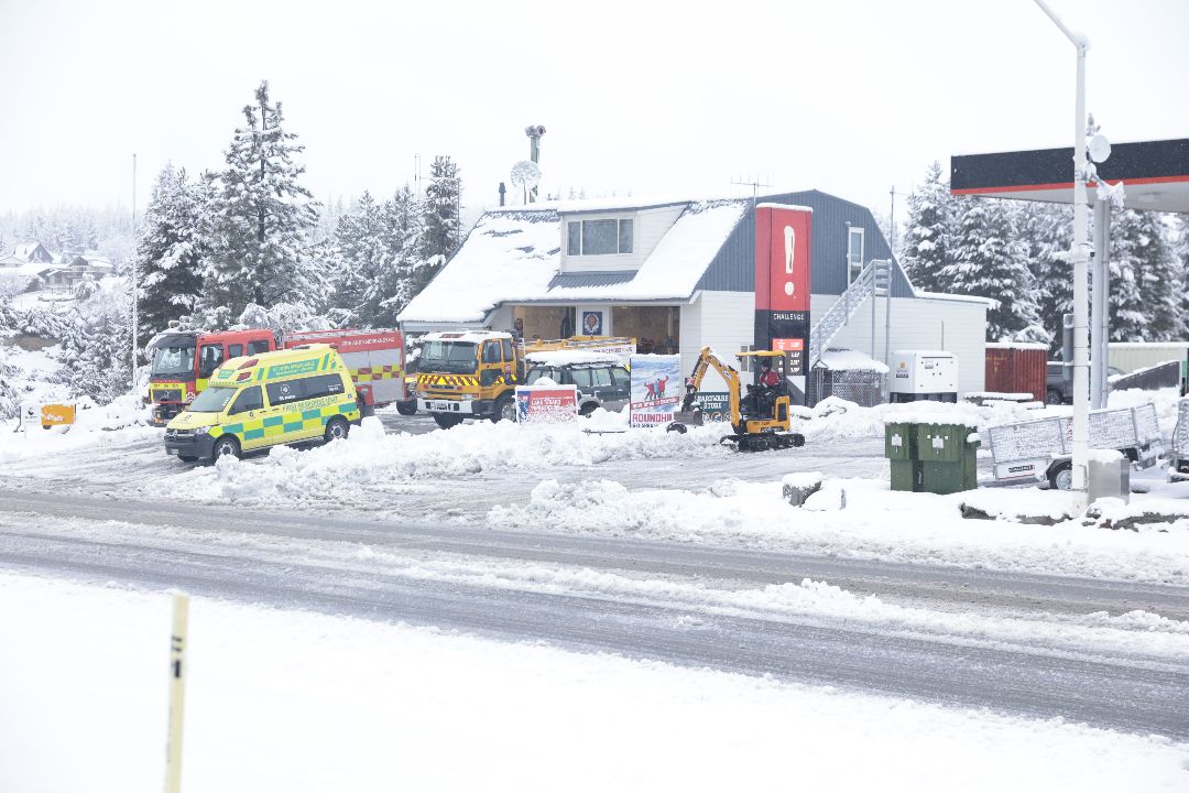
Lake Tekapo on Monday morning / photo credit: The MaGik in ME Photography
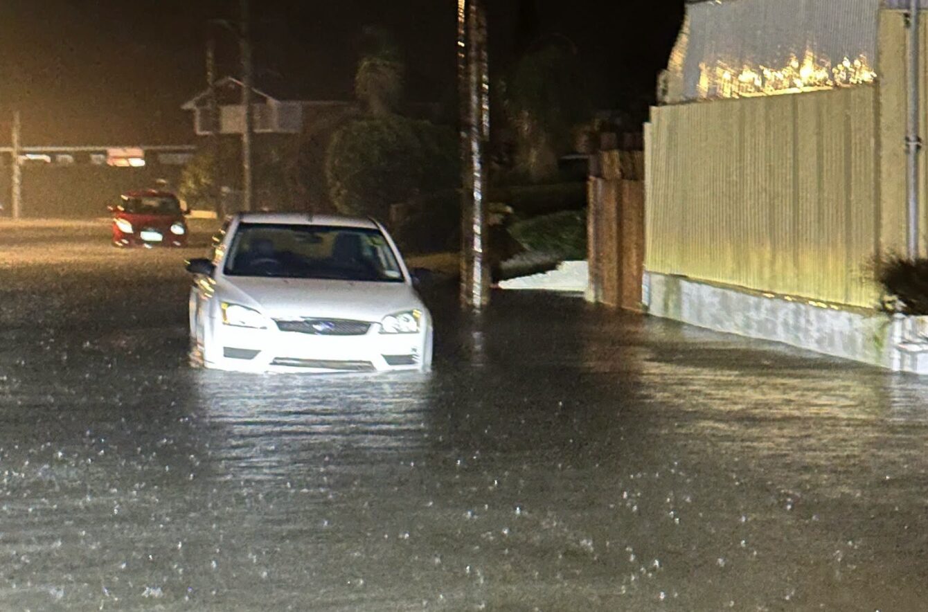
The National Emergency Management Agency is advising people not to enter floodwaters and to avoid unnecessary travel.
Residents should be ready for communication and power outages and be prepared to self evacuate if they see rising water.
A heavy rain watch has been issued for inland Canterbury about and north of the Rangitata River.
Lake Tekapo on Monday morning / photo credit: The MaGik in ME Photography
That watch runs from noon today until noon tomorrow, with periods of heavy rain possible and amounts approaching warning criteria.
MetService said the rain would fall as snow above 1000 metres, likely reaching as low as 800 metres. There is a moderate chance the watch could be upgraded to a warning.
A strong wind watch is also in force for the West Coast south of Westport until 6am tomorrow.
Lake Tekapo on Monday morning / photo credit: The MaGik in ME Photography
Southeasterly winds may approach severe gale strength about exposed valleys, and forecasters say there is a moderate chance it could be upgraded to a warning.