Metservice has issued a number of weather warnings for the South Island.
There are heavy rain warnings in place for Westland south of Otira, especially about the ranges.
Expect a further 50 to 75mm of rain to accumulate on top of what has already fallen about the ranges, with 20 to 40mm near the coast. Peak rates of 10 to 20mm/h about the ranges.
There will be periods of heavy rain for the headwaters of Canterbury lakes and rivers about and south of Arthurs Pass
Expect a further 50 to 75mm of rain to accumulate about the main divide, and 40 to 60mm within 15km east of the divide. Peak rates of 10 to 20mm/h about the divide.
Strong Wind Warnings
The Canterbury High Country could experience strong wind gusts “damaging trees, powerlines and unsecured structures.”
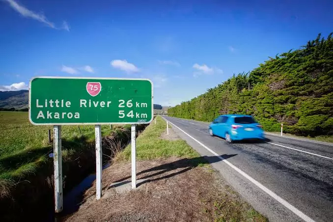
Driving may be hazardous, especially for high-sided vehicles and motorcycles in the Northwest gales are forecast to be severe at times, with gusts reaching 120 km/h in exposed places.
Snow Warnings
Fiordland south of Te Anau from 3:00am to 6:00pm Wednesday, snow is expected down to 200 metres during this time, with heavy falls above 400 metres. Snow amounts may approach warning criteria above 400 metres.
Road Snowfall Warnings
Lewis Pass (SH7) from 6:00pm Tuesday to 2:00pm Wednesday, snow is expected to affect higher parts of the road this Tuesday evening until overnight tonight. Between 6 pm today and 6 am Wednesday, expect 3 to 5 cm to settle on the road above 800 metres, with lesser amounts to 600 metres. Another brief period of snow is possible around midday Wednesday. Between 11 am and 2 pm Wednesday, up to 1 cm of snow may settle on the road above 600 metres.
Arthur’s Pass (SH73) from 9:00pm Tuesday to 3:00am Wednesday, snow is expected to affect higher parts of the road this Tuesday evening until overnight tonight. Expect 3 to 5 cm to settle on the road above 800 metres, with lesser amounts to 600 metres.
Porters Pass (SH73) from 12:00am to 6:00am Wednesday, snow may affect higher parts of the road overnight tonight Tuesday and 1 or 2 cm of snow may settle on the road near the summit, with lesser amounts to 800 metres.
Haast Pass (SH6) from 8:00pm Tuesday to 2:00am Wednesday, snow is expected to affect the road for a time this Tuesday evening until overnight tonight. Expect 1 to 3 cm of snow to settle on the road near the summit.
Lindis Pass (SH8) from 10:00pm Tuesday to 10:00am Wednesday, a few snow showers are expected to affect higher parts of the road tonight Tuesday through to late Wednesday morning. Expect 1 to 3 cm of snow to settle on the road above 700 metres, with lesser amounts down to 400 metres.
Crown Range Road from 9:00pm Tuesday to 10:00am Wednesday, showers are expected to turn to snow overnight tonight (Tuesday), affecting the road until late Wednesday morning. Expect 3 to 5 cm of snow to settle on the road above 800 metres, with lesser amounts down to lower levels.
Milford Road (SH94) from 6:00pm Tuesday to 10:00am Wednesday, snow is expected from this evening till Wednesday morning and should lower to 300 metres overnight tonight. Expect 10 to 15 cm of snow to settle on the road above 800 metres during this time, with lesser amounts down to 300 metres. Please note, another burst of snow may affect the road Wednesday night, and a warning may be issued closer to the time to cover this possibility.