Escaped youth tracked by Eagle helicopter, found hiding in New Brighton
The young person who escaped from a youth justice facility in Rolleston has been located...


The young person who escaped from a youth justice facility in Rolleston has been located...

A person has been seriously injured on State Highway 75, Christchurch Akaroa Road. A police...

BodyFix Gym Christchurch in Phillipstown has taken out two major honours at the Exercise New...

Local MPs have found areas of agreement on major Resource Management Act reforms, during a...

A series of public events have been organised across Christchurch and Lyttelton over the coming...

A woman was taken to hospital after a ‘water incident’ at Parakiore Recreation and Sport...


Canterbury is set for a frosty end to the working week before warmer temperatures, strong northwesterly winds and rain arrive over the weekend.
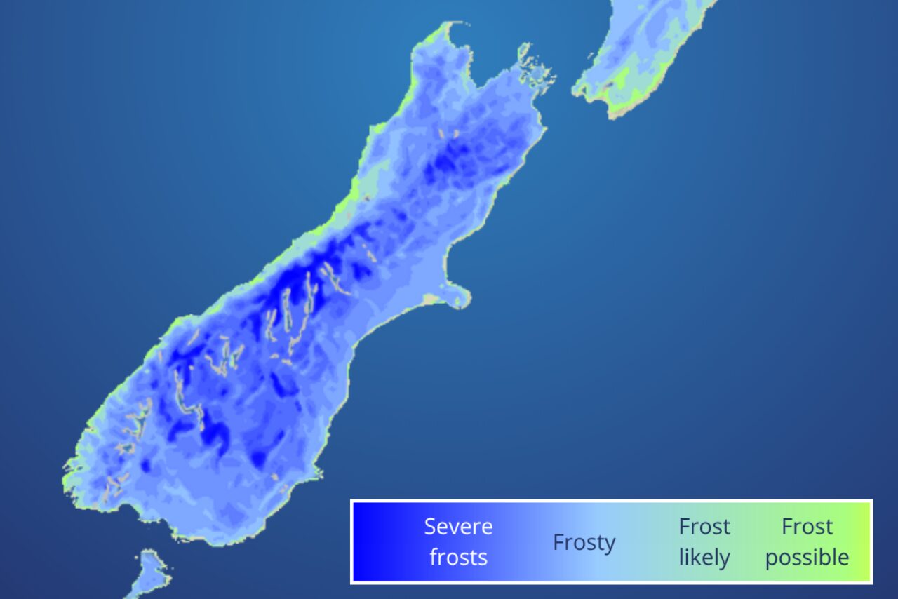
MetService said central and eastern parts of the South Island were likely to wake to frosts on Friday morning, with otherwise fine conditions expected across much of Canterbury.
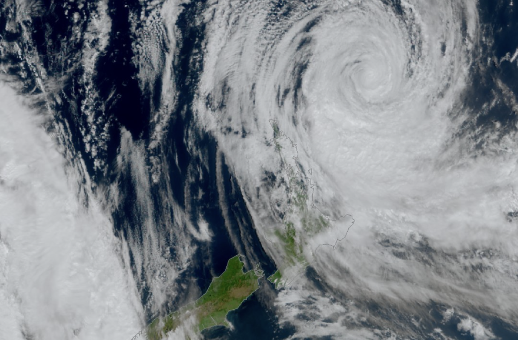
That settled weather will not last, with an approaching front forecast to bring a wetter and windier weekend across much of the South Island.
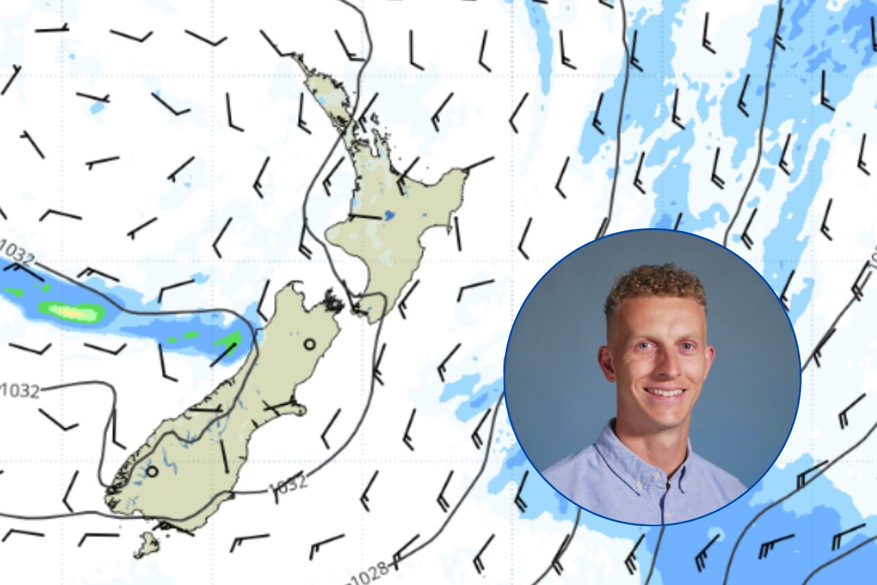
MetService meteorologist Maddy Neal said an unsettled weekend was in store as the front moved north.
“An unsettled weekend is in store for much of the country, as a front moves northward and brings with it heavy rainfall and strong westerly winds to much of the South Island and the lower North Island,” Neal said.
On Saturday, heavy rain is expected along the West Coast, with some of that moisture forecast to spill across the Main Divide into the Canterbury High Country lakes.
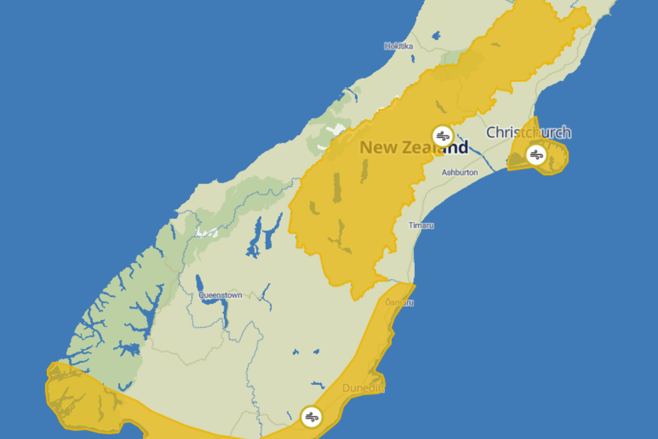
Northwesterly winds will also strengthen, with severe gales possible in areas east of the Main Divide.
Conditions are expected to intensify on Sunday, when west to northwesterly winds build further.
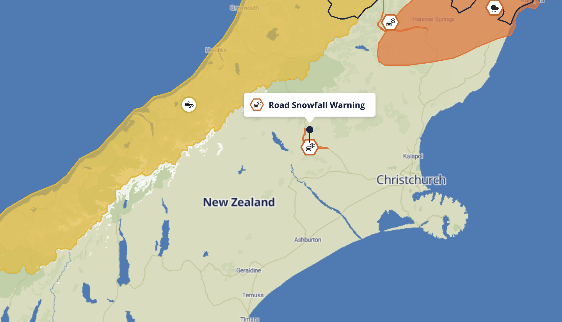
MetService said warnings could be issued for the Canterbury High Country, while strong westerlies may also affect the Canterbury Plains and Christchurch.
Heavy rain spilling east of the Main Divide could also affect Canterbury’s high country lakes, with a watch or warning possible.
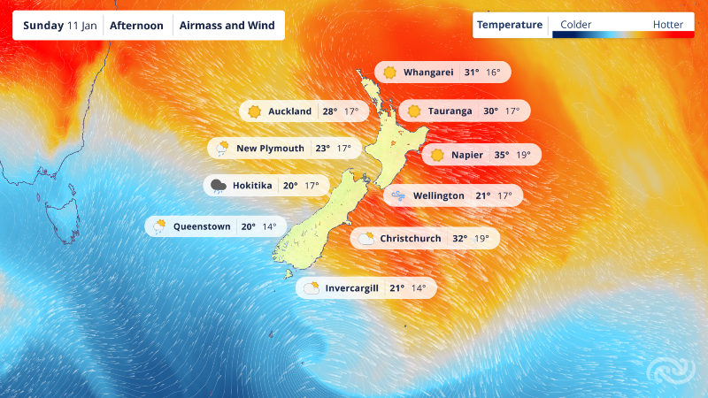
Despite the unsettled conditions, temperatures are expected to climb as the northwesterly airflow develops.
Eastern areas are forecast to experience milder overnight temperatures and daytime highs in the mid to high teens.
“As this north-westerly flow pushes over us, eastern areas of both islands will feel relatively warm, with higher overnight temperatures and mid-teen highs throughout the weekend. But don’t be fooled, winter is not over yet!” Neal said.
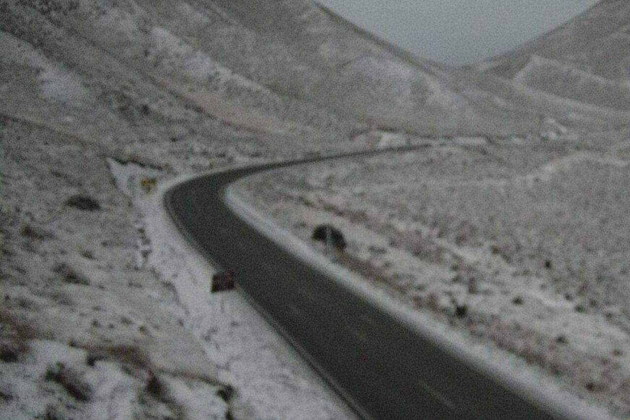
There is also a chance of fresh snow for southern ski fields and some higher-level roads.
MetService urged people travelling or heading outdoors this weekend to keep an eye on updated forecasts, with Severe Weather Watches and Warnings likely to be issued as the system approaches.
“We are still a couple days away now, so we advise people to keep an eye out for any watches and warnings that may be issued over the weekend,” Neal said.