Escaped youth tracked by Eagle helicopter, found hiding in New Brighton
The young person who escaped from a youth justice facility in Rolleston has been located...

The young person who escaped from a youth justice facility in Rolleston has been located...

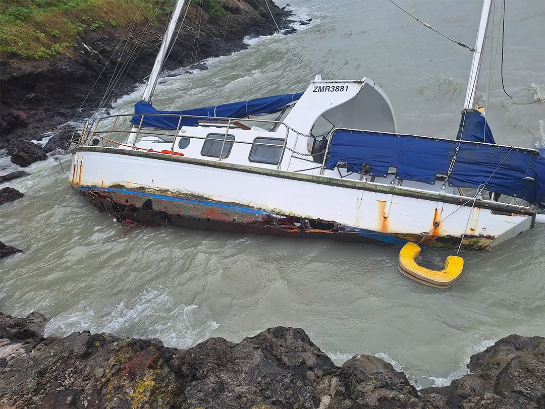
A person has been seriously injured on State Highway 75, Christchurch Akaroa Road. A police...

BodyFix Gym Christchurch in Phillipstown has taken out two major honours at the Exercise New...

Local MPs have found areas of agreement on major Resource Management Act reforms, during a...
A series of public events have been organised across Christchurch and Lyttelton over the coming...

A woman was taken to hospital after a ‘water incident’ at Parakiore Recreation and Sport...

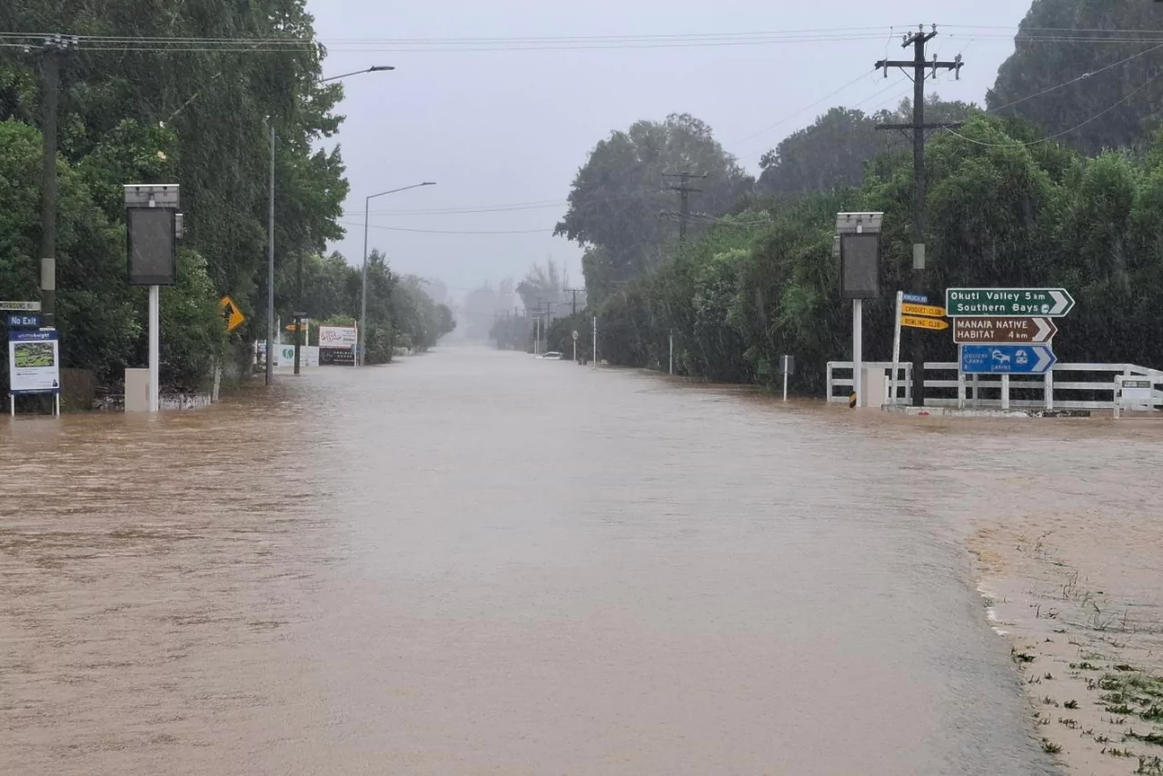
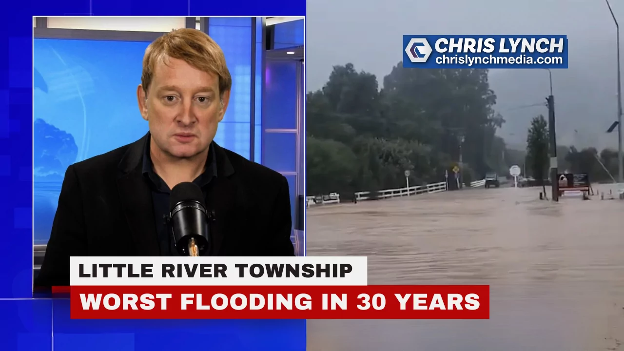
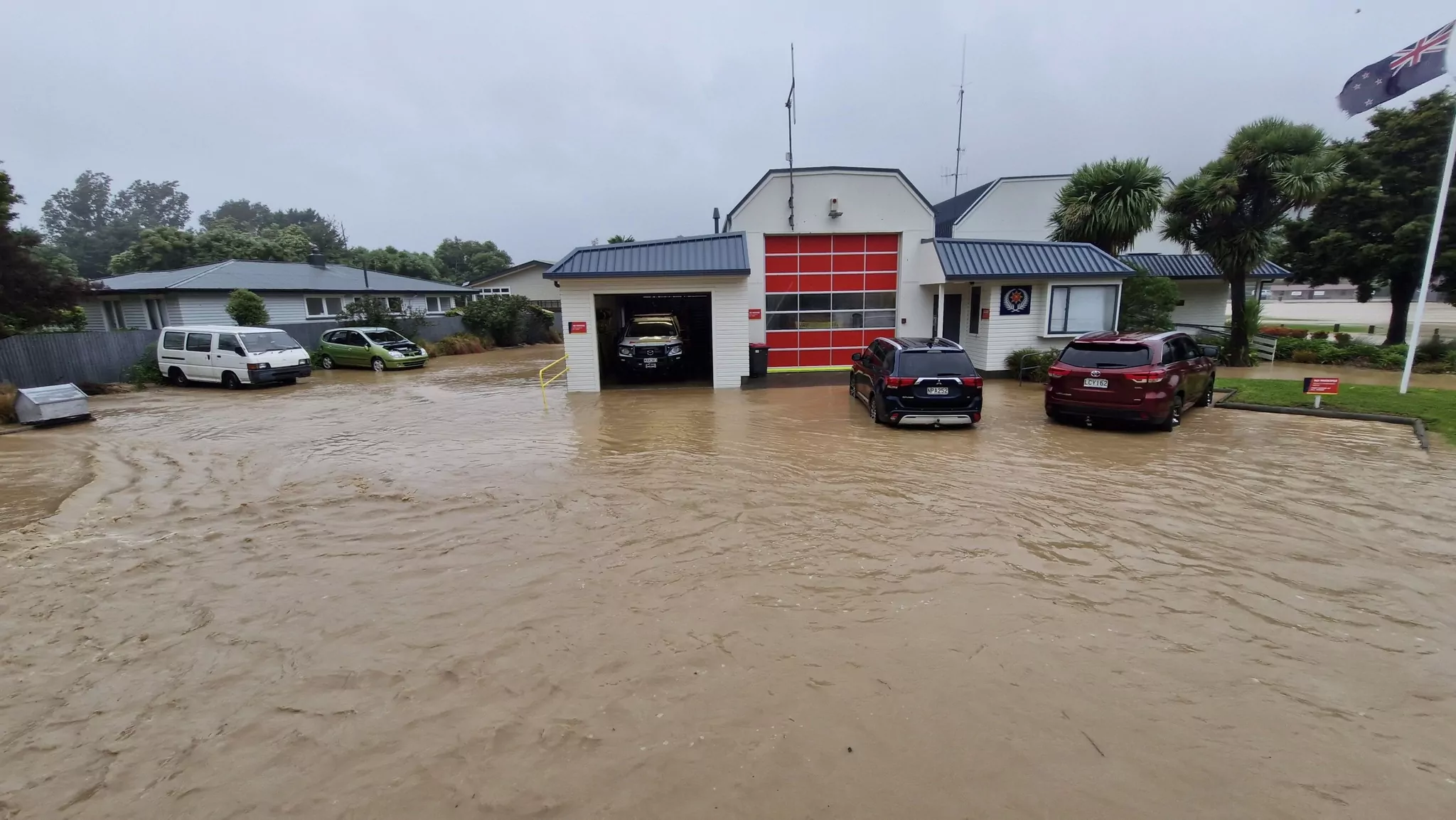
The flood response across Banks Peninsula has continued overnight, with high river levels, road closures, landslides and hundreds of properties still without power despite the rain easing.
Christchurch City Council said there is currently no weather warning in place for Banks Peninsula or Christchurch.
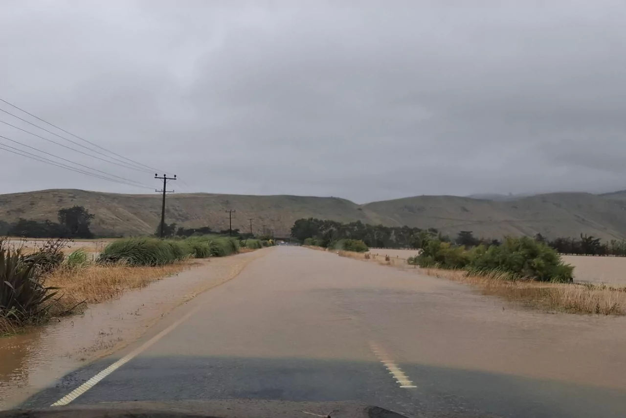
However, water levels in streams and rivers across the peninsula remain high, and floodwaters and hazards are still affecting some roads.
A loss of water supply has been reported in Wainui.
The council said a team would be onsite on Wednesday morning to assess the situation and look at options to restore supply as soon as possible.
Residents have been asked to conserve the water they have and to remember the boil water notice remains in place.
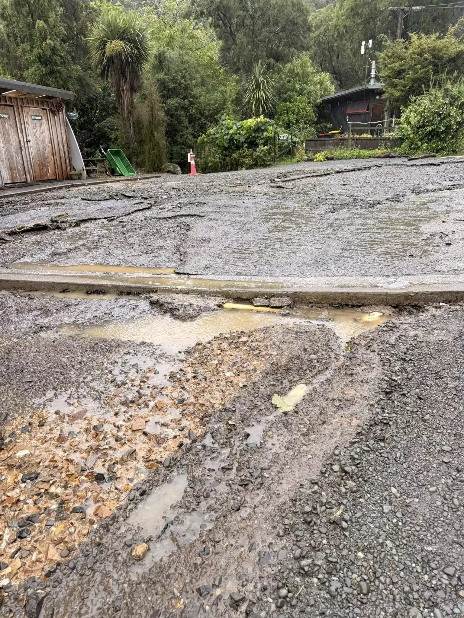
Near Little River Campgroud
The boil water notices for Little River and Wainui are still active.
Residents in Akaroa have been asked to remain in the township until further notice and not travel to Little River until the road reopens.
A response team remained in Akaroa overnight.
To help people contact family members in Banks Peninsula, the council said it is looking at setting up four Starlink kits around Akaroa from 8am Wednesday.
Proposed locations include the Akaroa Volunteer Fire Brigade at 49 Beach Road, the Gaiety Hall at 105 Rue Jolie, and the Akaroa Health Centre at 2 Aylmers Valley Road.
There have been a number of landslides across the area.
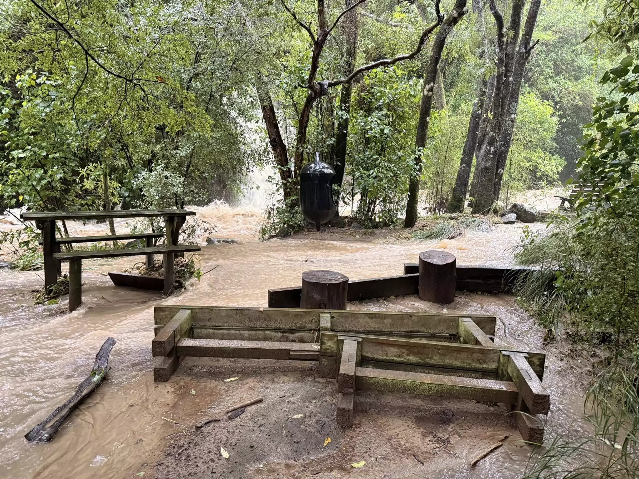
Photo credit: Little River Campground
The council said it is closely monitoring the existing landslide at Lighthouse Road, while the New Zealand Transport Agency is managing another on the Akaroa side of Hilltop on State Highway 75. State Highway 75 remains closed.
Crews are expected to gain a clearer picture of slips across the district in daylight.
Wainui Main Road is closed from Bossu Road, with teams working to reopen it as soon as possible. Road closure status could change throughout the day.
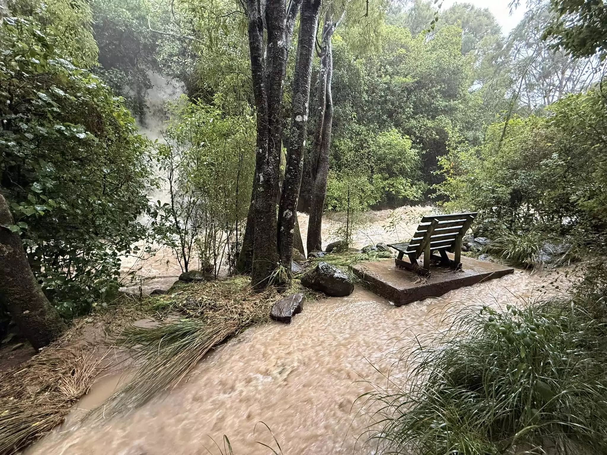
Photo credit: Little River Campground
The council said it was aware of a small number of self evacuations and said welfare arrangements are in place for anyone who needs support. Anyone who believes there is a risk to life has been urged to call 111.
As of Wednesday morning, it was estimated 222 properties were affected, with crews working to restore supply.
As of 7am on Wednesday 18 February, Dyers Pass Road was closed from Sign of the Kiwi to Governors Bay, and from Sign of the Kiwi towards Sugarloaf.
Several roads have reopened, including Clarendon Terrace, Aynsley Terrace, Waimea Terrace, Ford Road, Richardson Terrace, Fifield Terrace and Riverlaw Terrace.