Escaped youth tracked by Eagle helicopter, found hiding in New Brighton
The young person who escaped from a youth justice facility in Rolleston has been located...


The young person who escaped from a youth justice facility in Rolleston has been located...

A person has been seriously injured on State Highway 75, Christchurch Akaroa Road. A police...

BodyFix Gym Christchurch in Phillipstown has taken out two major honours at the Exercise New...

Local MPs have found areas of agreement on major Resource Management Act reforms, during a...

A series of public events have been organised across Christchurch and Lyttelton over the coming...

A woman was taken to hospital after a ‘water incident’ at Parakiore Recreation and Sport...

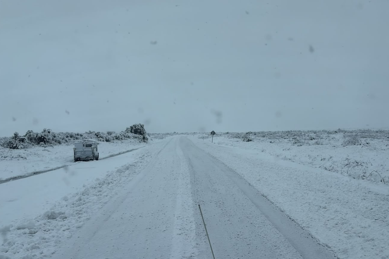
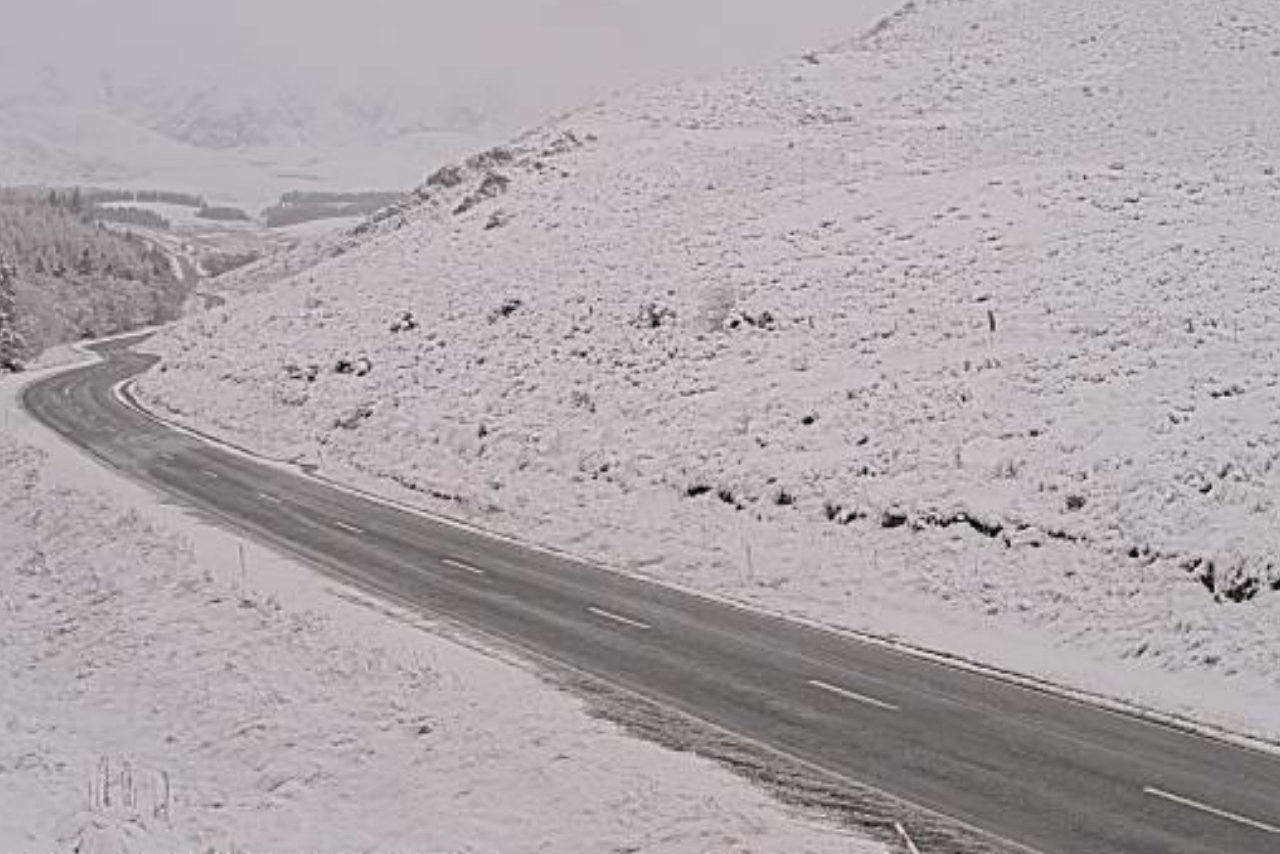
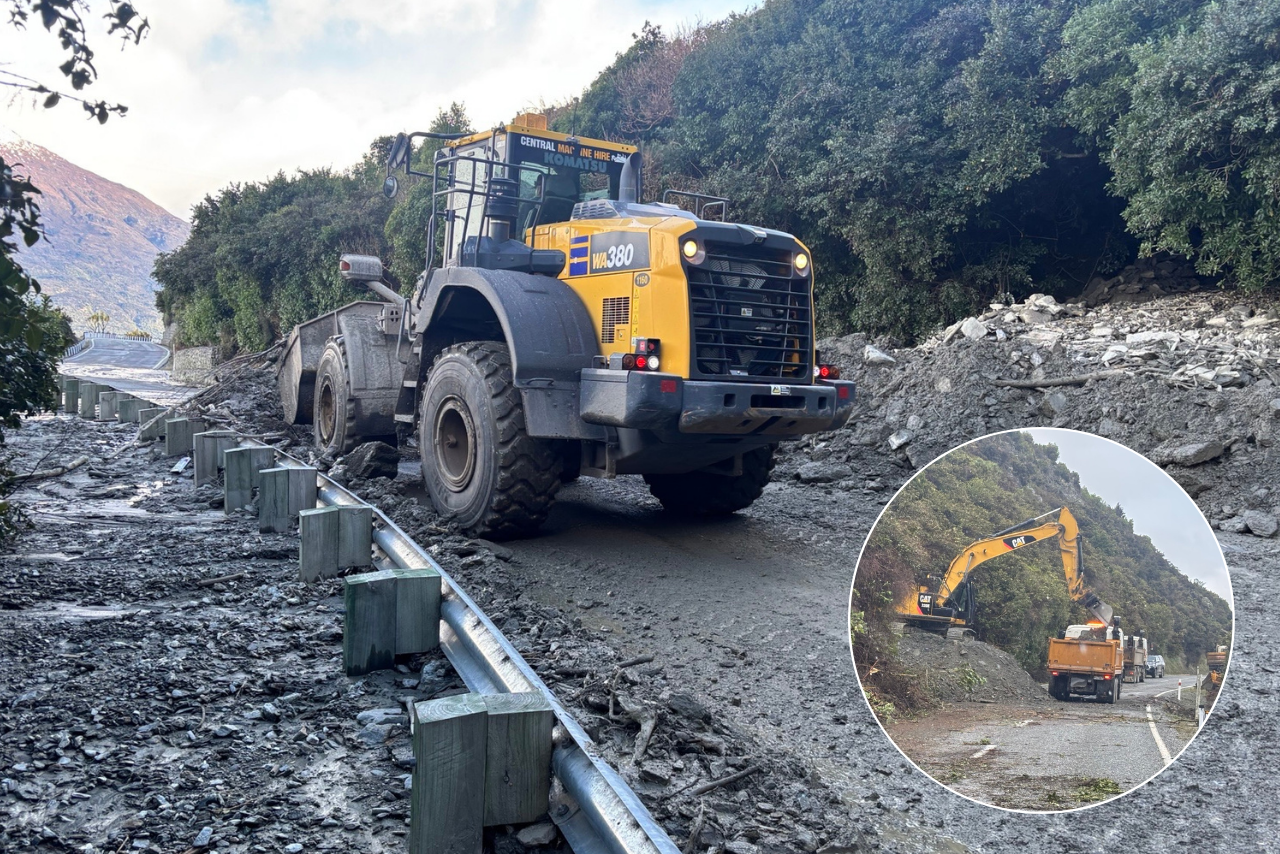
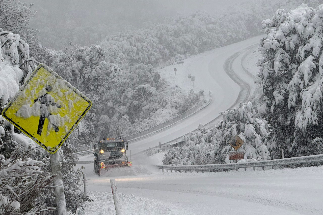
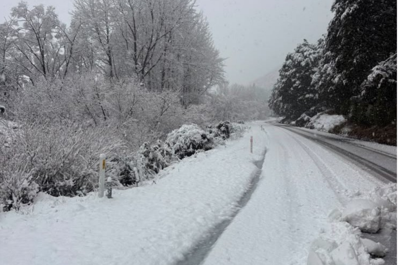
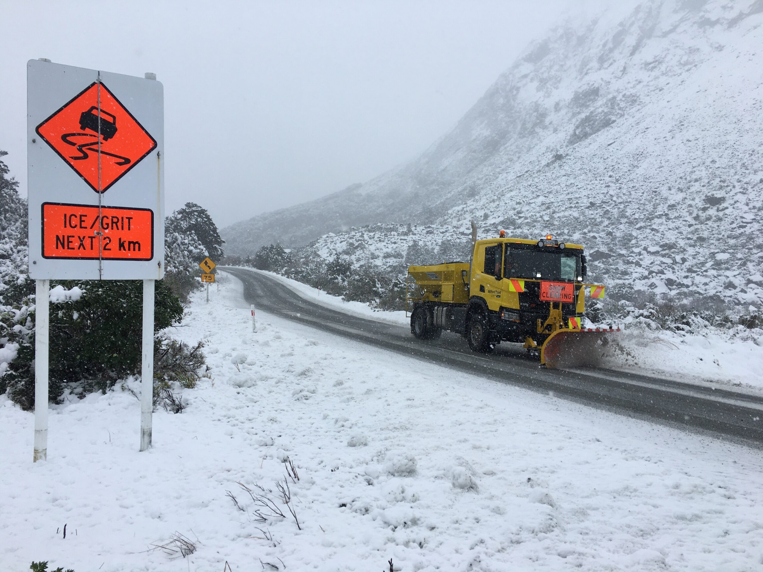
State Highway 73 between Otira and Springfield has fully reopened after being closed because of snow, but motorists are being warned winter driving conditions remain.
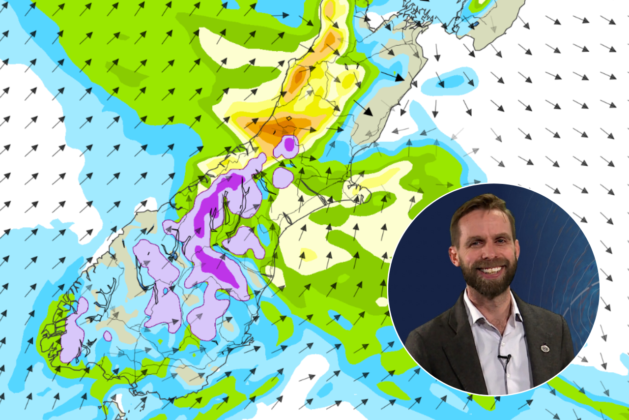
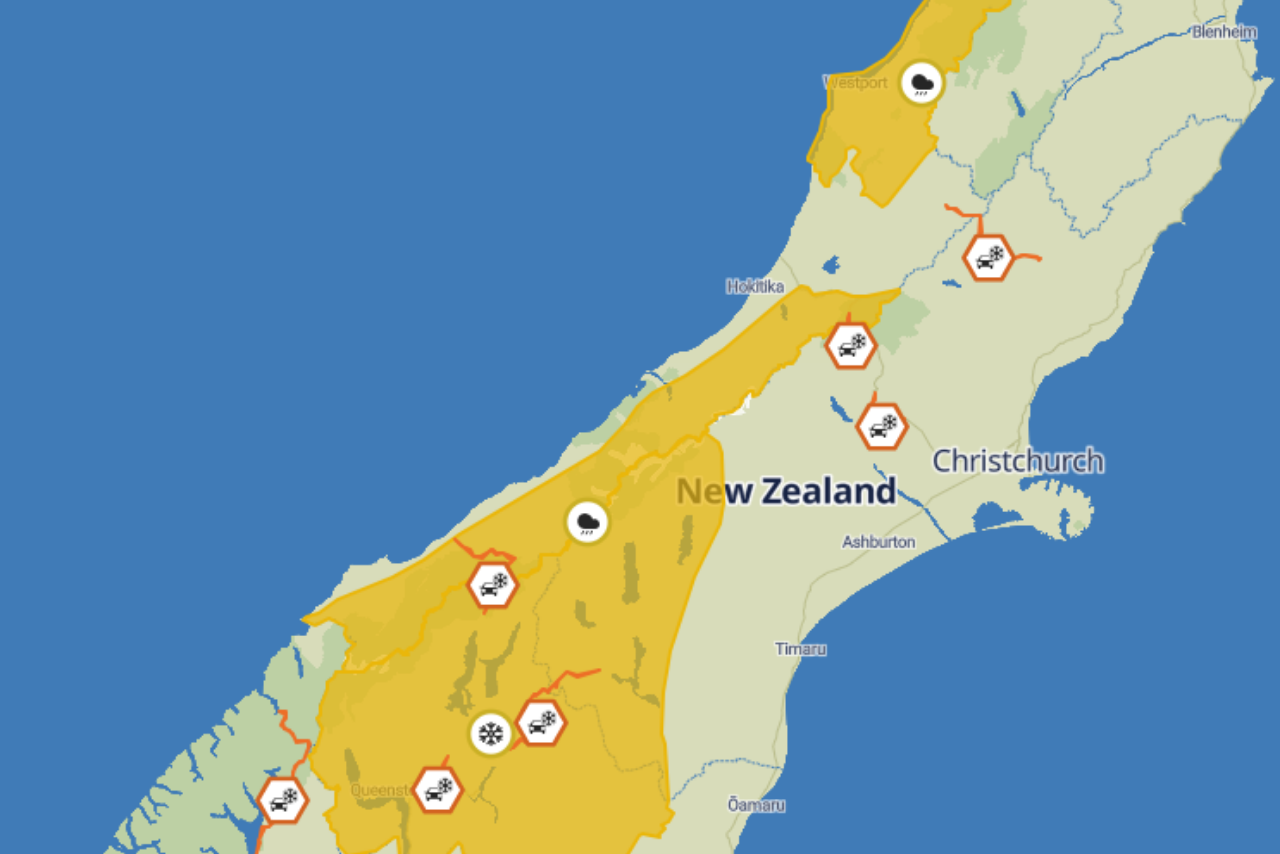
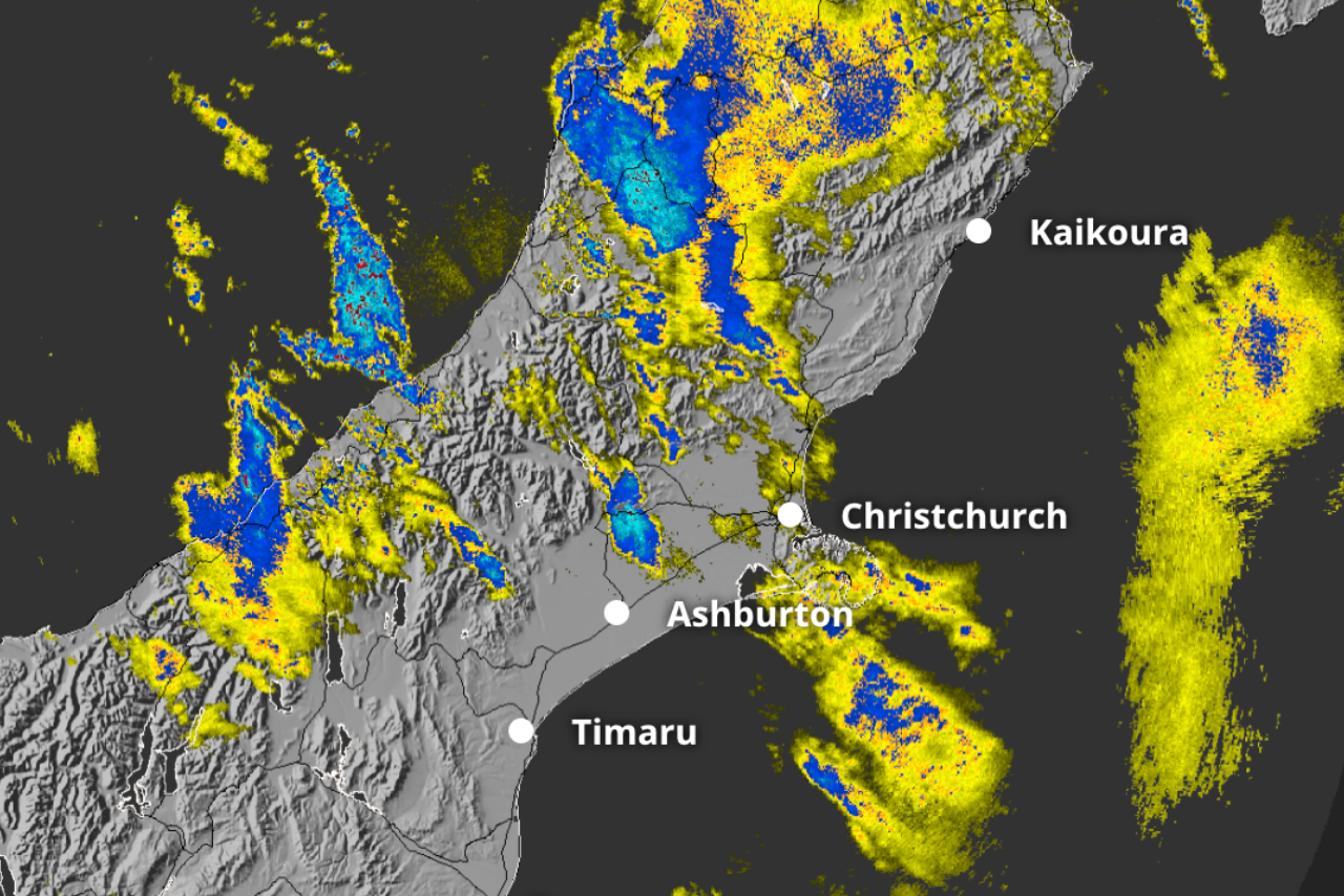
An Orange Heavy Rain Warning remains in place for the Canterbury and Otago headwaters, with further heavy rain possible through Friday as the current winter storm gradually weakens.
Road users travelling through Arthur’s Pass are advised to take extra care, with snow affecting mountain passes and elevated communities across the South Island.
Warnings are also in place for snow on State Highway 8 between Fairlie and Tekapo, including Burkes Pass, and State Highway 80 between Glentanner and Aoraki/Mount Cook Village.
MetService meteorologist Devlin Lynden said the worst of the snowfall had passed, but the unsettled weather was not over.
“The worst of the snow has passed, but areas of heavy rain do persist through Friday,” Lynden said.
The West Coast has borne the brunt of the rain, with more than 300 millimetres recorded around Franz Josef since the storm began. Rivers across the region are running high, while surface flooding warnings remain in place on sections of State Highway 6.
People travelling between Canterbury and the West Coast, or through the Mackenzie Basin and alpine areas, are encouraged to check forecasts and road conditions before setting out.
Saturday will bring another spell of unsettled weather as a cold front moves over the lower South Island, bringing further showers and rain.
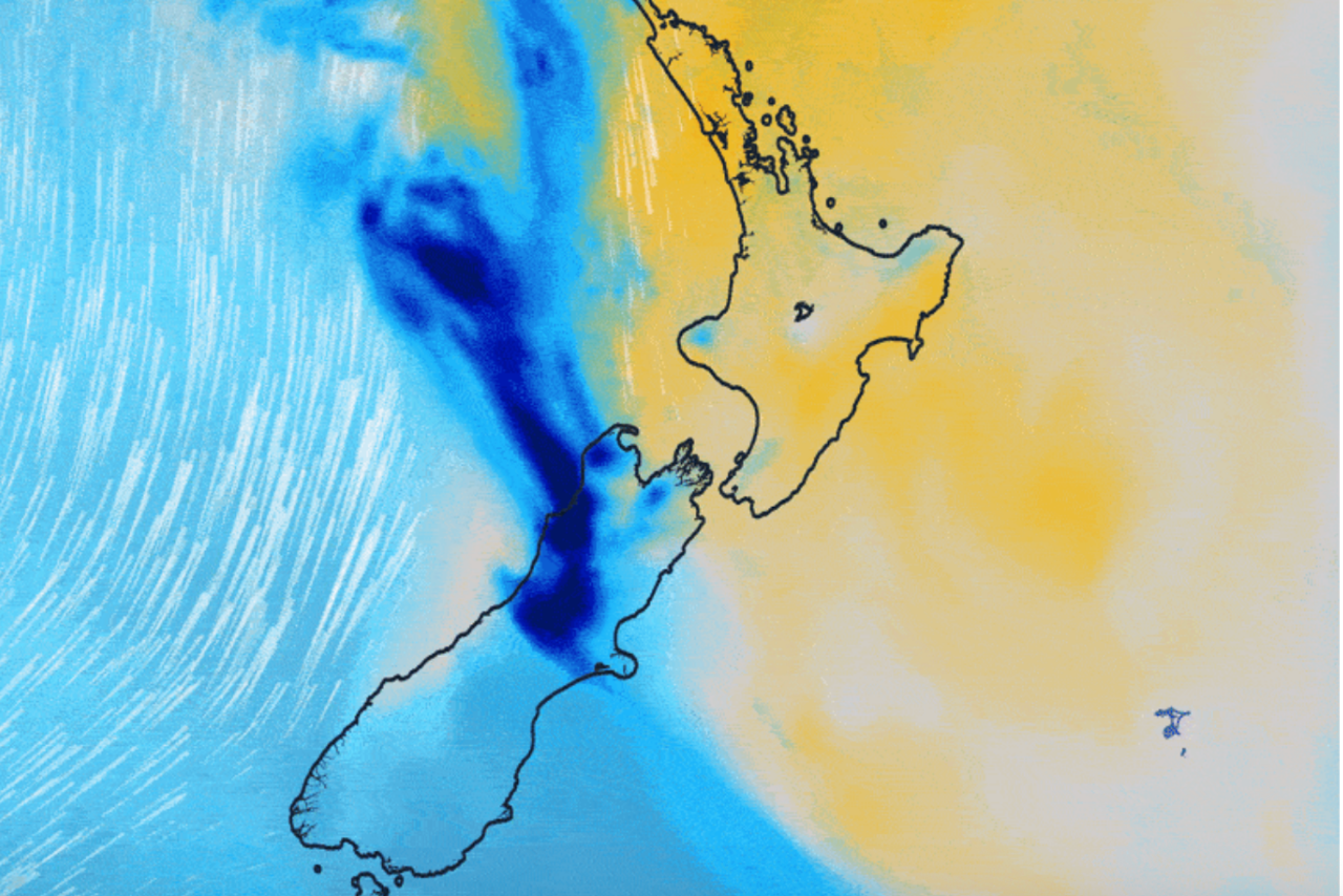
A strong west to southwest flow is then expected to spread across New Zealand from Sunday, with severe gales possible in exposed parts of central and southern New Zealand on Sunday and Monday.
“This means the weather remains changeable through the weekend, with a series of fronts and troughs bringing periods of rain, particularly to western and southern areas,” Lynden said.
Conditions are forecast to gradually ease later on Monday, although showers and strong winds may continue in some places.