Escaped youth tracked by Eagle helicopter, found hiding in New Brighton
The young person who escaped from a youth justice facility in Rolleston has been located...


The young person who escaped from a youth justice facility in Rolleston has been located...

A person has been seriously injured on State Highway 75, Christchurch Akaroa Road. A police...

BodyFix Gym Christchurch in Phillipstown has taken out two major honours at the Exercise New...

Local MPs have found areas of agreement on major Resource Management Act reforms, during a...

A series of public events have been organised across Christchurch and Lyttelton over the coming...

A woman was taken to hospital after a ‘water incident’ at Parakiore Recreation and Sport...

The warning, updated just before 10am on Tuesday, covers the area between Ward and Hanmer and southeast of the Awatere Valley, including the Kaikōura ranges, and runs until 6am on Wednesday.
MetService said the region could receive 120 to 180 millimetres of rain, and possibly up to 220 millimetres, on top of what has already fallen. Peak rates of 15 to 25 millimetres an hour are likely until this evening, especially about the ranges, while coastal areas may receive 40 to 80 millimetres. Snow is likely above 1200 metres.
Conditions are expected to disrupt travel, make some roads impassable and isolate communities.
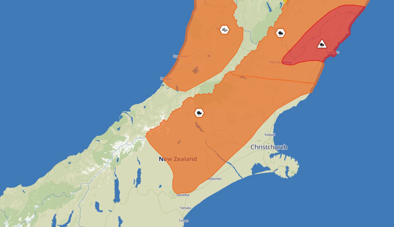
Graphic: Metservice
The National Emergency Management Agency is urging people in the warning area not to enter floodwaters and to avoid travel. Anyone who sees rising water should act quickly to self evacuate, and households should be ready for power and communications outages.
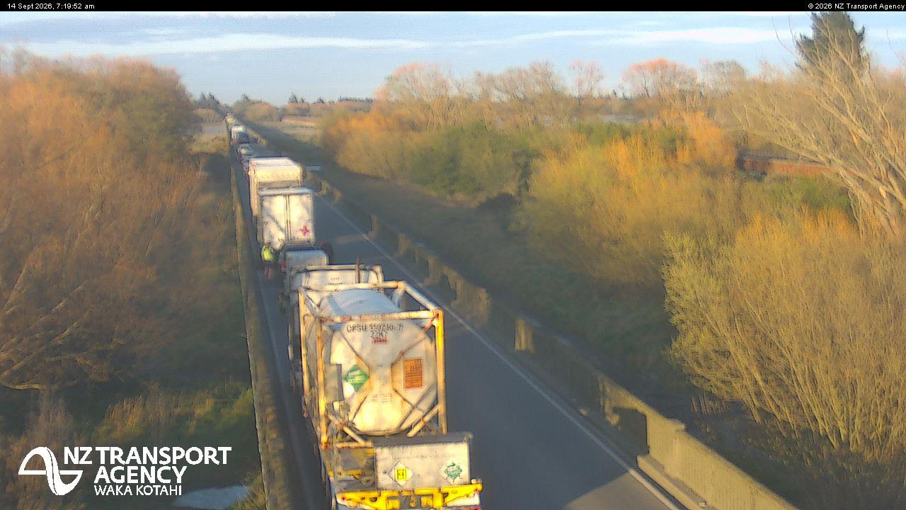
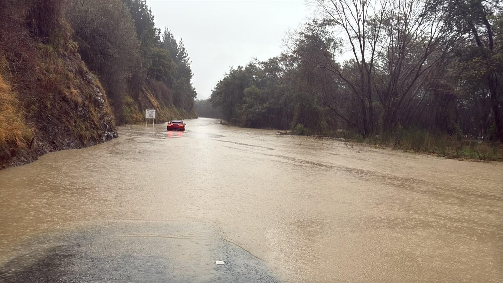
The NZ Transport Agency said flooding was affecting numerous roads around Canterbury on Tuesday morning, in addition to the closure of State Highway 1 between Cheviot and Kaikōura.
Road users are being asked to respect legally enforced closures and restrictions as heavy rain continues to hit the region, and to adjust their driving where signs warn of surface flooding or slips.
Drivers should avoid floodwaters where the depth is unclear and obstructions may be hidden. The agency is also reminding people to adjust their speed and travelling distances in heavy rain, avoid sudden braking, and stay visible by using headlights during the day.
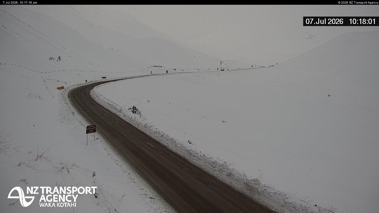
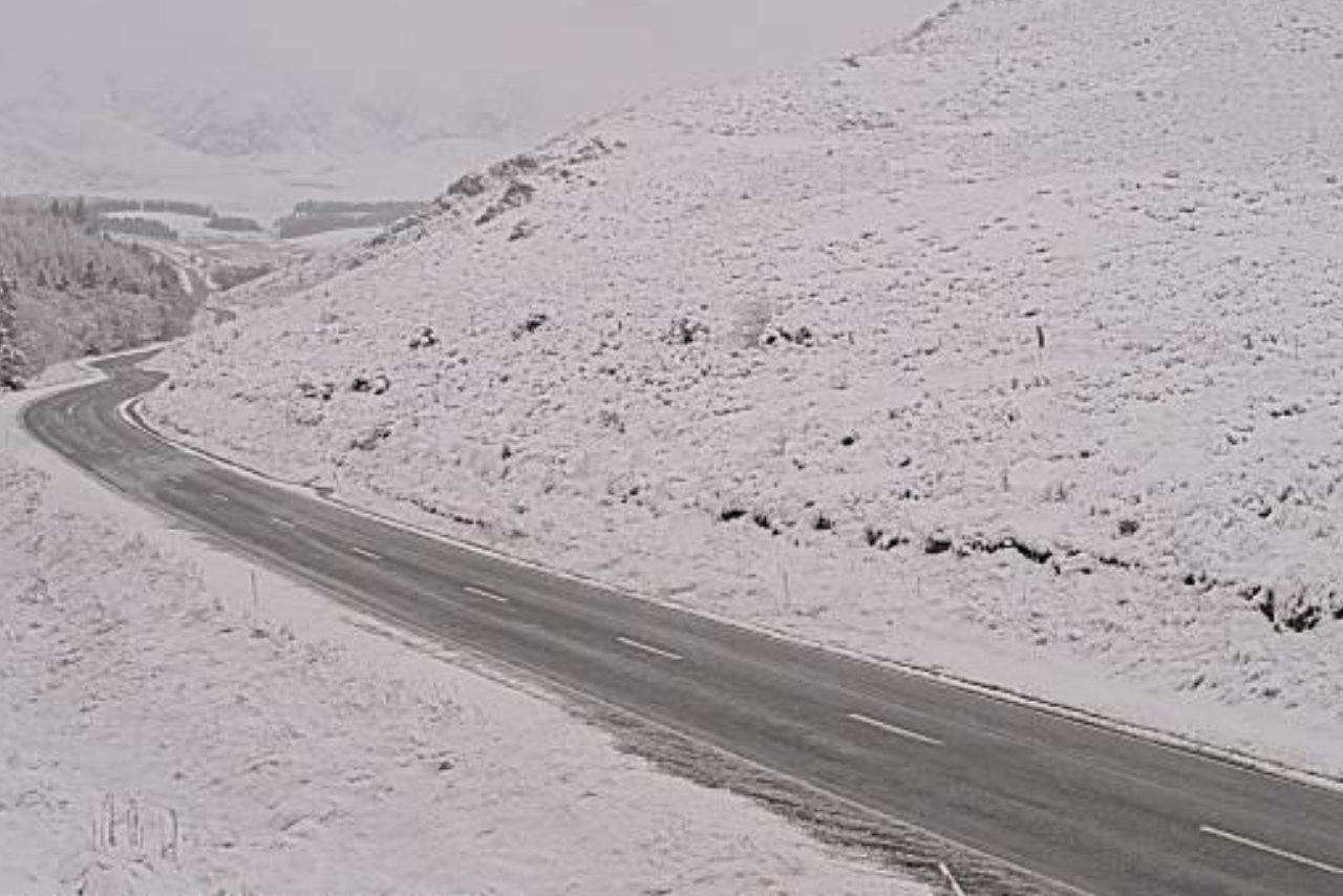
Thick snow remains at Lindis Pass with the view below looking south along SH8 towards Lindis Pass Summit Lookout / New Zealand Transport Agency
Orange heavy rain warnings are also in place for Tasman west of Motueka until 8pm on Tuesday, Marlborough north of Blenheim until 3am on Wednesday, and Marlborough south of Blenheim and Canterbury north of Lake Sumner until 6am on Wednesday, where between 50 and 100 millimetres of rain is expected depending on the area.
On the West Coast, an orange strong wind warning is in force between Westport and Hokitika until 1pm on Tuesday, with severe gale southeasterlies gusting 130 kilometres an hour in exposed valleys.
MetService said further rain is expected later on Wednesday, but amounts are not expected to reach warning criteria.
A heavy rain watch is in place for the Nelson side of the Bryant Range until midnight, with a moderate chance of being upgraded to a warning. A strong wind watch has also been issued for Wellington, the Marlborough Sounds, Kapiti Coast and Taranaki from Wednesday evening to Thursday evening.