Escaped youth tracked by Eagle helicopter, found hiding in New Brighton
The young person who escaped from a youth justice facility in Rolleston has been located...


The young person who escaped from a youth justice facility in Rolleston has been located...

A person has been seriously injured on State Highway 75, Christchurch Akaroa Road. A police...

BodyFix Gym Christchurch in Phillipstown has taken out two major honours at the Exercise New...

Local MPs have found areas of agreement on major Resource Management Act reforms, during a...

A series of public events have been organised across Christchurch and Lyttelton over the coming...

A woman was taken to hospital after a ‘water incident’ at Parakiore Recreation and Sport...

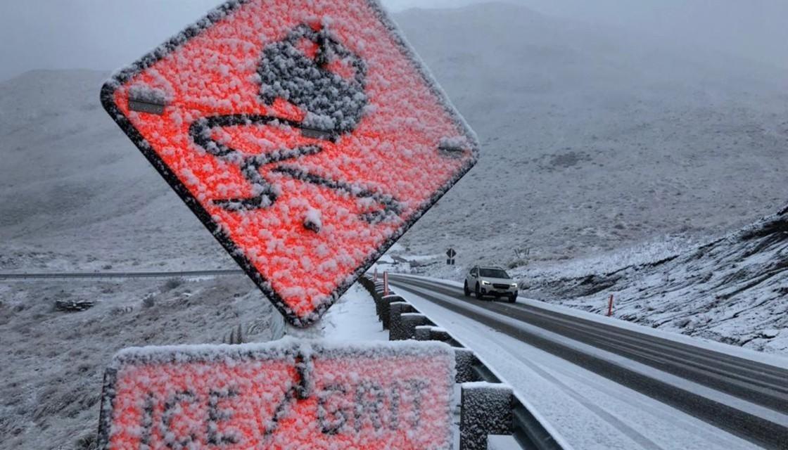
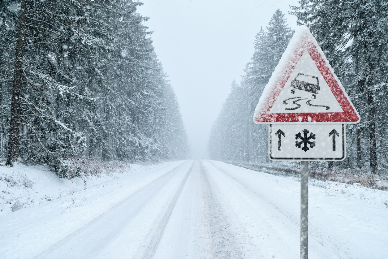
Those heading home after the long weekend are being urged to keep a close eye on the weather, with another significant system expected to hit the South Island tomorrow.
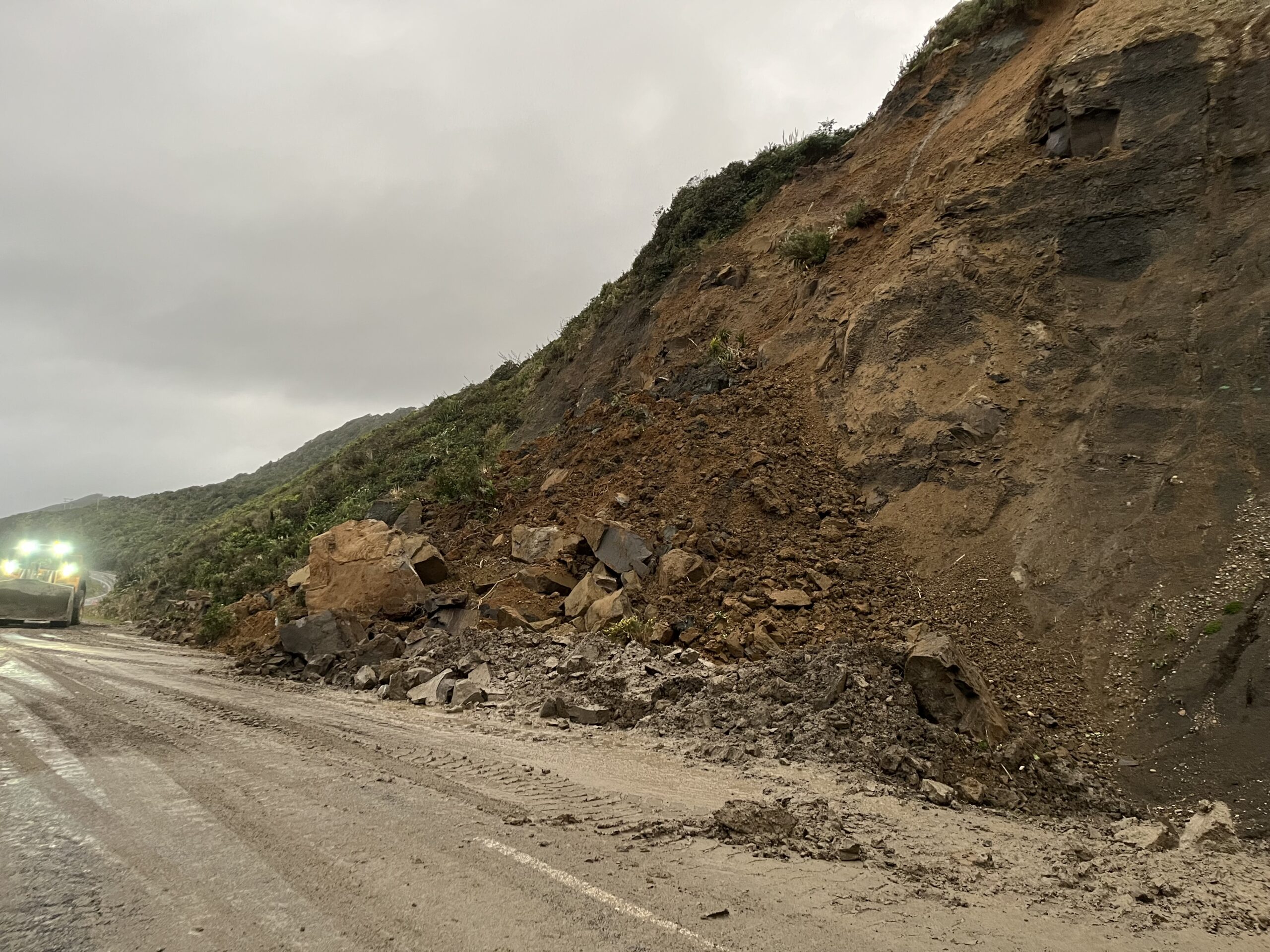
Parts of the island are still cleaning up after last week’s severe weather, but MetService has issued several orange warnings for tomorrow that could cause further disruption for travellers.
The New Zealand Transport Agency said road users should be prepared for possible heavy snowfalls, flooding, and strong winds, especially on alpine passes and higher routes.
A spokesperson said road crews were on alert following recent flooding, slips and downed power lines, and were ready to respond to any new incidents on Labour Day or Tuesday.
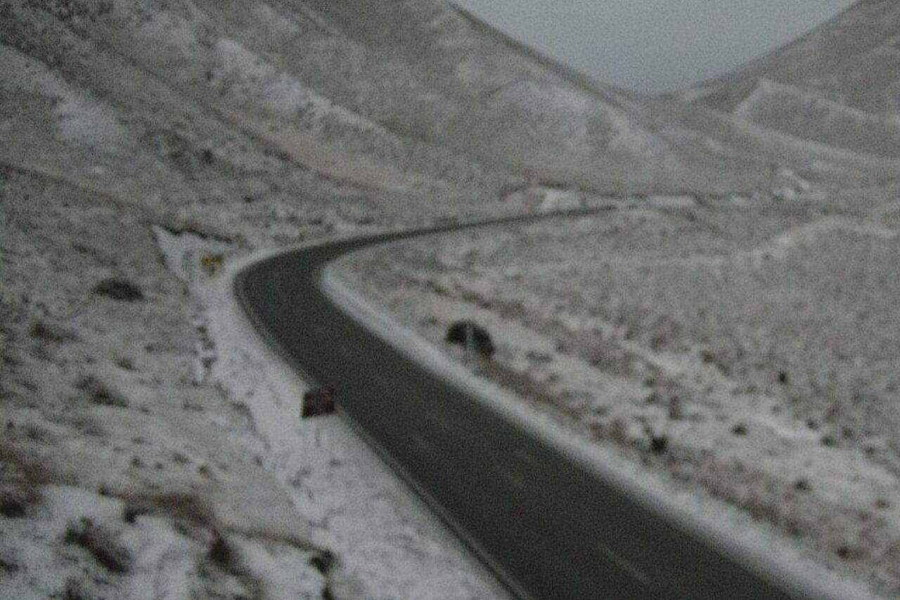
Warnings include an orange heavy snow alert for the Canterbury high country south of State Highway 73 tomorrow afternoon and evening, with between 10 and 15 centimetres expected to settle above 500 metres, and up to 30 centimetres above 800 metres in the Mackenzie Basin.
Snowfall warnings are also in place for the alpine passes, Milford Road, Crown Range Road and the Dunedin-Waitati Highway, with up to 25 centimetres or more possible above 700 metres at Arthur’s Pass.
Orange heavy rain warnings have been issued for the headwaters of the Canterbury lakes and rivers north of Arthur’s Pass, as well as the ranges of the Westland District north of Haast.
Strong wind watches have been issued for the Canterbury high country and Banks Peninsula.
NZTA is urging motorists to plan ahead and adjust their driving to the conditions. The agency said snow and heavy rain could cause a loss of traction, and drivers should slow down, maintain safe distances, and avoid sudden braking.
Motorists in high-sided vehicles, on motorcycles, or towing trailers are being warned to take extra care in strong winds.
NZTA said state highways could be closed or restricted if conditions become unsafe or obstructions occur.