Escaped youth tracked by Eagle helicopter, found hiding in New Brighton
The young person who escaped from a youth justice facility in Rolleston has been located...


The young person who escaped from a youth justice facility in Rolleston has been located...

A person has been seriously injured on State Highway 75, Christchurch Akaroa Road. A police...

BodyFix Gym Christchurch in Phillipstown has taken out two major honours at the Exercise New...

Local MPs have found areas of agreement on major Resource Management Act reforms, during a...

A series of public events have been organised across Christchurch and Lyttelton over the coming...

A woman was taken to hospital after a ‘water incident’ at Parakiore Recreation and Sport...
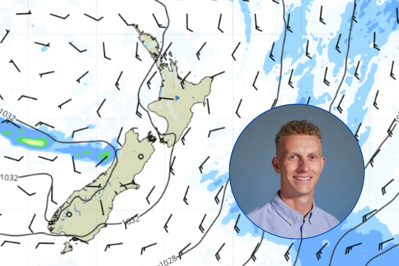
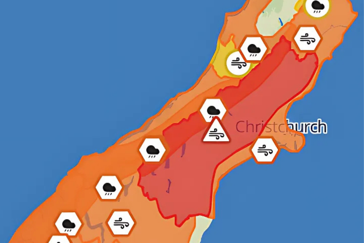
A cold snap has made itself present across parts of Canterbury tonight with Metservice issuing a number of warnings.
It has forecast showers, with a risk of thunderstorms and hail about Banks Peninsula with strong southwesterlies, gale gusting 90 km/h in exposed places overnight.
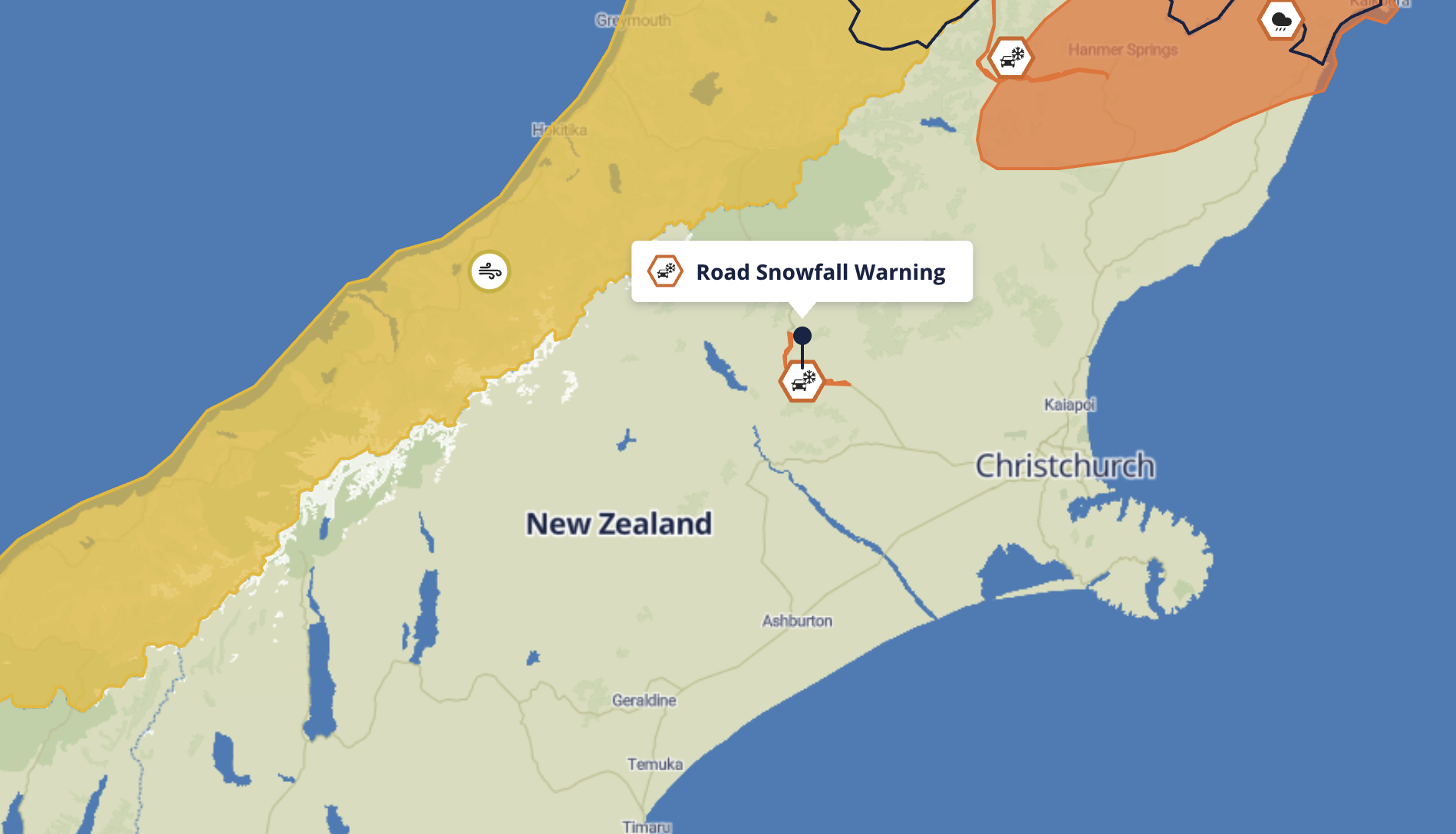
There are also road snowfall warnings in place overnight for the Lewis Pass, with snow forecast above 700 metres, with up to 1 cm possibly settling on the road near the summit.
Snow flurries are possible down to 700 metres, but little if any snow is expected to settle on the road near Arthur’s Pass (SH73).
Snow is expected to continue tonight for Porters Pass (SH73) through to Wednesday morning with 2 to 4 cm of snow accumulating on the road above 800 metres, with lesser amounts at lower levels.