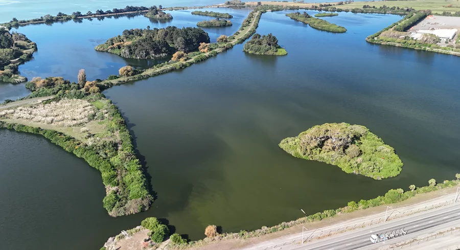
Escaped youth tracked by Eagle helicopter, found hiding in New Brighton
The young person who escaped from a youth justice facility in Rolleston has been located...
Proudly powered by VAST – NZ’s leading digital advertising billboard company. FIND OUT MORE

The young person who escaped from a youth justice facility in Rolleston has been located...

A person has been seriously injured on State Highway 75, Christchurch Akaroa Road. A police...

BodyFix Gym Christchurch in Phillipstown has taken out two major honours at the Exercise New...

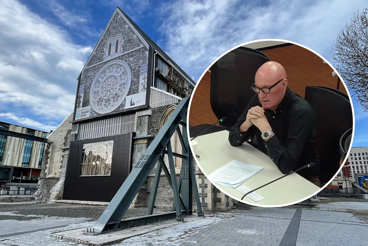
Local MPs have found areas of agreement on major Resource Management Act reforms, during a...

A series of public events have been organised across Christchurch and Lyttelton over the coming...

A woman was taken to hospital after a ‘water incident’ at Parakiore Recreation and Sport...
A southwesterly airstream will spread over Canterbury on Monday and become progressively colder as a trough of low pressure deepens east of the South Island.
Airflow will ease later on Tuesday and next Wednesday.
Blue Skies Weather & Climate Services said expect snow lowering to 500m during the morning on Monday with accumulations of 5-10cm likely above this level by late in the day (70-90% risk).
Snow showers should clear during the afternoon, with gusty southwesterly winds easing.
Much colder air will arrive late Monday night or early Tuesday morning with winds becoming strong, and significant windchills possible. Snow showers are possible (30-50% risk) across the region on Tuesday to sea level, but at this stage look more likely to affect the eastern Plains and Banks Peninsula, and have less impact on the western Plains and foothills (if it occurs).
Given the lead-time this snow is not lockemd in, and subtle changes in the forecast weather system could easily remove the risk of this snow. However, guidance data has been consistent on this risk for the last few days. If it occurs, the snow should be light and showery, with perhaps 1-3cm accumulating by mid afternoon Tuesday then clearing late afternoon or evening.
Alpine passes could experience a significant snowfall during the day on Monday. Roads on the eastern Plains and Banks Peninsula may see some light snowfalls during the daytime on Tuesday.
Extensive moderate snowfalls are expected in Otago on Monday and early Tuesday, and may affect coastal Marlborough above 300m on Tuesday.