Escaped youth tracked by Eagle helicopter, found hiding in New Brighton
The young person who escaped from a youth justice facility in Rolleston has been located...

The young person who escaped from a youth justice facility in Rolleston has been located...

A person has been seriously injured on State Highway 75, Christchurch Akaroa Road. A police...

BodyFix Gym Christchurch in Phillipstown has taken out two major honours at the Exercise New...

Local MPs have found areas of agreement on major Resource Management Act reforms, during a...

A series of public events have been organised across Christchurch and Lyttelton over the coming...

A woman was taken to hospital after a ‘water incident’ at Parakiore Recreation and Sport...

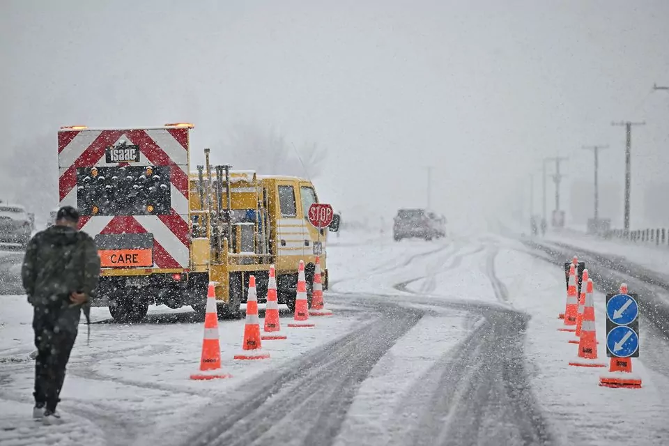
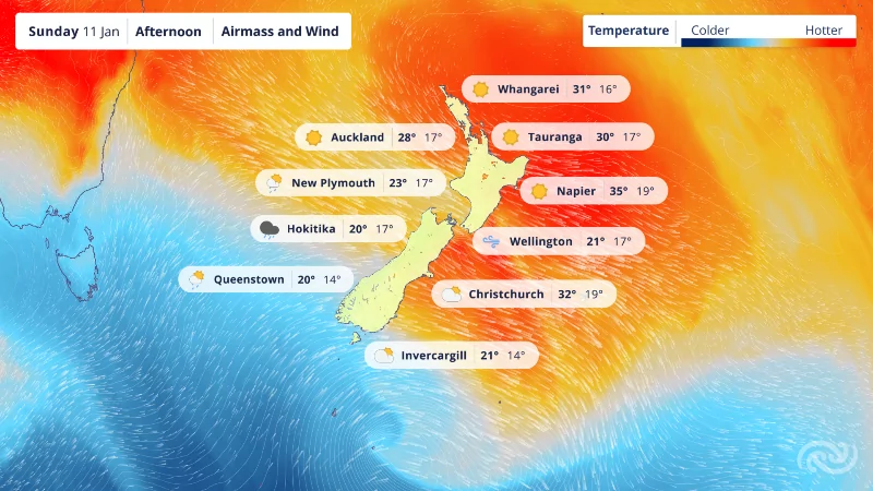
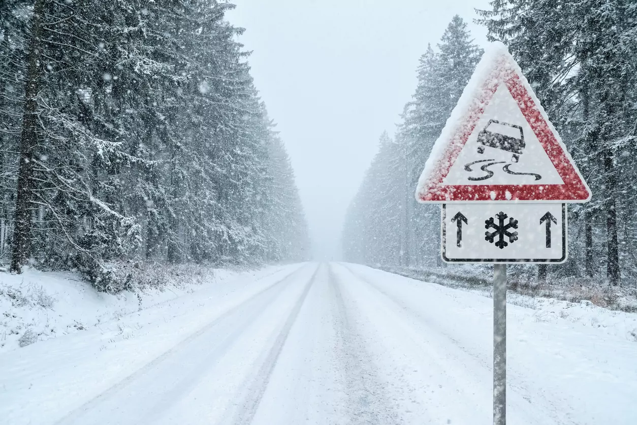
A complex low pressure system is forecast to bring heavy snow and freezing temperatures to Canterbury this week, with farmers and travellers being warned to prepare for disruption.
Blue Skies meteorologist Tony Trewinnard said the system will cross the region on Wednesday, followed by a sharp drop in temperature as a cold southwesterly airflow moves in. “Waves of increasingly colder air will arrive from the Southern Ocean on Thursday and Friday,” he said, “with another low pressure system developing east of the South Island later on Friday. The resulting southerly airflow looks likely to be bitterly cold.”
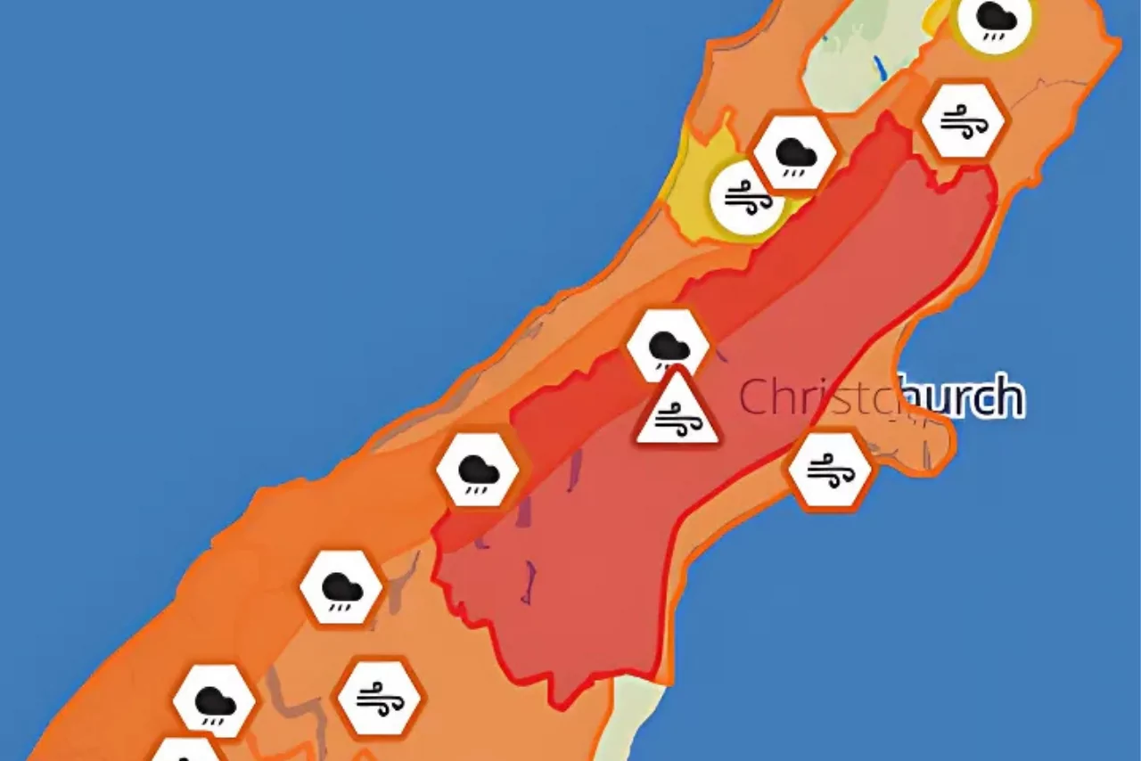
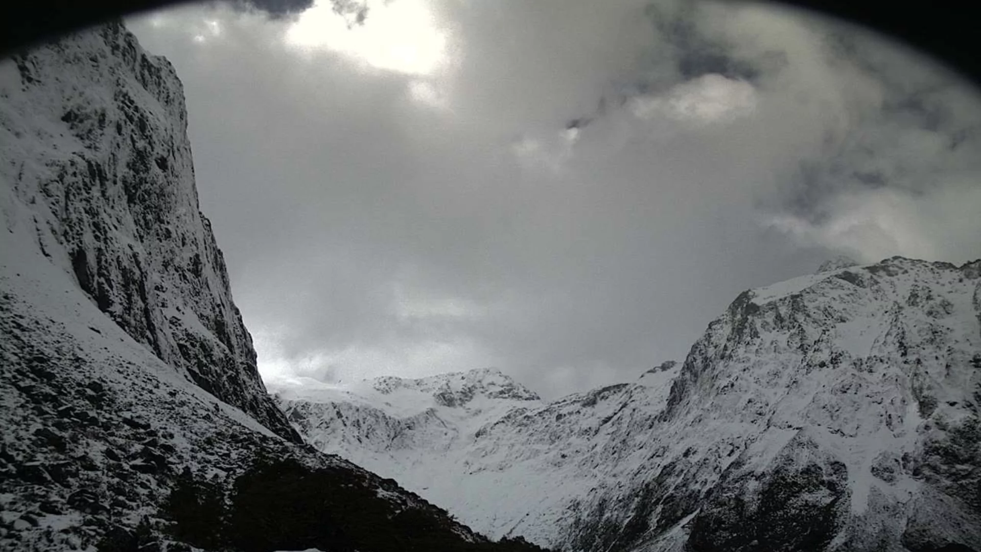
Snow is expected to lower to 500 metres early Wednesday night, with accumulations of 10 to 20 centimetres likely in Mid and South Canterbury. Some areas could receive up to 30 centimetres. In North Canterbury, 5 to 10 centimetres is expected above 500 metres.
“There’s also a chance of some snow falling to 300 metres in inland South Canterbury around dawn Thursday, with up to 5 centimetres possible at that level,” Trewinnard said.
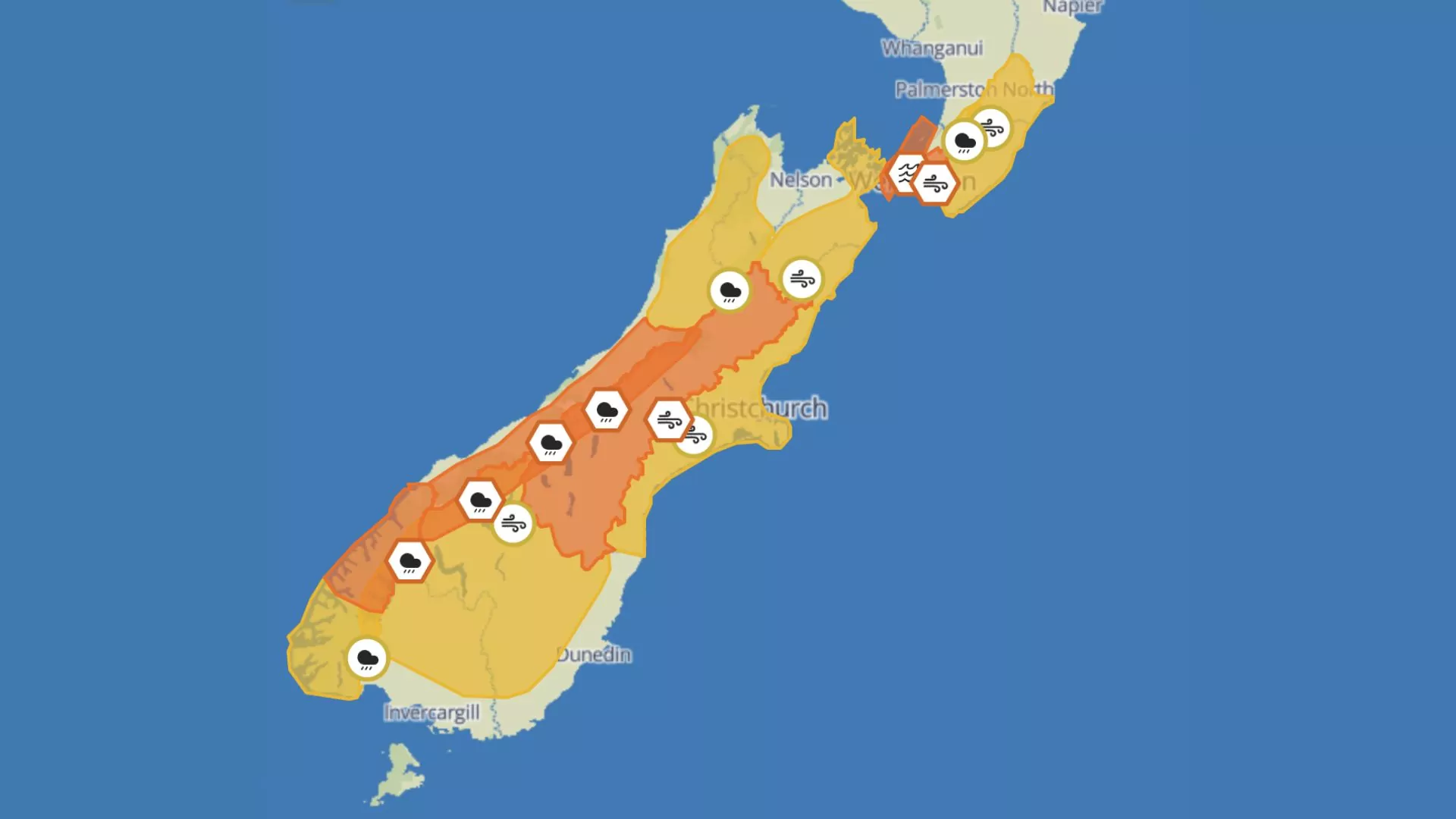
Even colder air is forecast to arrive Friday, with snow lowering to 200 metres later in the day. Around 5 to 10 centimetres is expected, with the potential for 10 to 20 centimetres overnight into Saturday. Light snow of up to 5 centimetres could fall below 200 metres, possibly reaching sea level.
Snow flurries and showers are expected through Sunday, with light to moderate accumulations above 200 metres. Clearing skies Sunday evening could lead to significant overnight frosts.
“Snow will affect alpine passes tomorrow night and early Thursday morning,” Trewinnard said. “There’s a moderate risk of disruption to travel on inland hill roads, across Banks Peninsula, and potentially on the Plains from late Friday into Saturday.”
Farmers are being urged to take precautions for stock, especially in elevated areas where conditions are expected to be severe.
The public is advised to monitor forecasts and plan for potential delays and closures across the region.