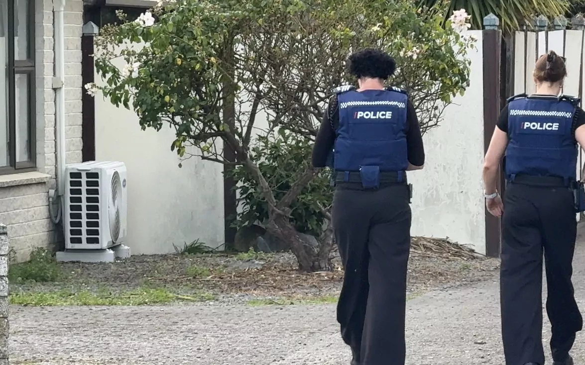
Escaped youth tracked by Eagle helicopter, found hiding in New Brighton
The young person who escaped from a youth justice facility in Rolleston has been located...
Proudly powered by VAST – NZ’s leading digital advertising billboard company. FIND OUT MORE

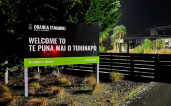
The young person who escaped from a youth justice facility in Rolleston has been located...

A person has been seriously injured on State Highway 75, Christchurch Akaroa Road. A police...

BodyFix Gym Christchurch in Phillipstown has taken out two major honours at the Exercise New...

Local MPs have found areas of agreement on major Resource Management Act reforms, during a...

A series of public events have been organised across Christchurch and Lyttelton over the coming...

A woman was taken to hospital after a ‘water incident’ at Parakiore Recreation and Sport...
Civil Defence requires all residents of the low lying areas of The Pines Beach, particularly around Dunns Ave to EVACUATE NOW.
A flood gate is stuck open and areas of The Pines Beach may be flooded.
The Civil Defence Centre at Rangiora Baptist Church is open for people who need somewhere to stay.
Residents on the higher sections of The Pines Beach can stay if they wish, but may be isolated for some time if Beach Road floods.
Waimakariri Civil Defence is urging residents to take extreme care on the roads this morning and to keep up to date with flooding information throughout the day. While the rain may be lighter, river levels remain dangerously elevated and it will take some time until the risk is gone.
If all possible, residents are asked to stay off the roads and avoid travelling. If people do need to drive, they should take it slow and leave plenty of following distance between vehicles. People should avoid driving through flooded areas and in the immediate vicinity of rivers.
The biggest risk to the Waimakariri remains the high level of the Ashley River at the potential for it to top over the stop banks.
Civil Defence have identified three areas where residents are asked to be prepared to evacuate if ordered.
Residents in these areas should keep their mobile phones switched on and close to hand. If evacuations are required, an Emergency Mobile Alert will be sent to the affected areas and emergency services will be deployed.
The online evacuation maps show the three “be prepared” areas in yellow alongside the two orange areas that have already been evacuated
The river risk led to two areas being evacuated late last night and early this morning by emergency services. Fire and Emergency NZ crews evacuated approximately 113 properties in the Oxford and Mount Thomas Road area near the Ashley River. Due to the high river level, it may be some time until residents are able to return home in.
A further 133 properties were evacuated in the Eyre River area were evacuated by Fire and Emergency NZ and NZ Police. The Eyre River is showing some signs of slowly dropping and inspections at daylight should give a better indication about when it will be safe to return, however it may be some time.
A regional state of emergency has been declared across the whole of Canterbury and remains in place.
Check the Evacuation Maps at the link here: https://waimakariri.maps.arcgis.com/apps/instant/minimalist/index.html?appid=f1b69f455cf9476a892dddb36dce42ee
The following areas are considered low-medium risk but should be prepared to evacuate. Keep your mobile phone turned on and nearby. We will send an Emergency Text Alert if you need to evacuate and emergency services are ready to activate.
Fernside Road and Southbrook Area – between Oxford Road through Southbrook and to State Highway One. Includes area between Oxford Road, Fernside Road, Lineside Road, Marsh Road and Tuahiwi Road. Includes Southbrook industrial area. We are not currently concerned about the Kaiapoi Urban Area. Please check evacuation maps and be ready to evacuate if told to do so. Approximately 518 properties.
Waikuku Area – between Gressons Road, Coldstream Road and the Ashley River. Includes Waikuku Beach Township. Please check evacuation maps and be ready to evacuate if told to do so. Approximately 628 properties.
North Of Ashley River – East Of Ashley Village – Between upper Sefton Road and Ashley River, from Ashley Village to the Coast. Please check evacuation maps and be ready to evacuation if told to do so. Approximately 169 properties.
The Eyre River stop banks from Wolffs Rd are at risk of failing. Everyone along the river from Wolffs Road and north of the Eyre River to North Eyre Road must leave immediately. Emergency services have finished evacuating this area.
The following areas are high risk and have already been ordered to evacuate, if you are still in these areas leave now:
Fernside residents between Oxford Road / Mount Thomas Road and the Ashley River – from Mertons Road up until the junction of the Okuku and Ashley Rivers. Rangiora urban areas are presently considered safe. Emergency services have finished evacuating this area. Approximately 113 Properties.
Ashley/Rakahuri – Levels remain high, banks are currently holding, but there is a chance they could fail at some points. We expect the levels to remain dangerous well into Monday. Check the evacuation zones and maps below for areas that need to evacuate or be prepared to evacuate.
Waimakariri – Levels are within the capacity of the stop banks. ECan are continuing to monitor.
Eyre River – Stop banks from Wolffs Rd are at risk of failing. Everyone along the river from Wolffs Road and north of the Eyre River to North Eyre Road must leave immediately. Emergency services have finished evacuating this area.
Cust River – Levels are very high, slowly receding but taking a long time to drop. Levels are being monitored.
Cam/Kaiapoi – Levels are high but not a concern.
View Hill Stream – View Hill Stream is flowing over Depot Road at various locations. The road is open. Please only cross this if needed and do so with caution
The next high tide is at about 8:30am this morning. This will coincide with higher river flows in both the Ashley and Waimakariri, as well as potentially wind / storm surge. The Kairaki and Waikuku Beach areas will be closely monitored during this time.
The Civil Defence Emergency Operation Centre remains open and emergency services will continue to respond to the situation throughout the night.
For emergencies first please call 111 to access the applicable emergency services.
Contact the Council on 0800 965 468 for urgent calls both outside of or during office hours.
Civil Defence has opened Welfare Centres for those who need somewhere to stay:
Rangiora Baptist Church – 111 East Belt, Rangiora
Mandeville Sports Centre – 405 Mandeville Road
For residents near rivers or other low-lying areas, if you have any concerns about your safety consider self-evacuating and staying with family and friends.
Our website and Facebook page will be updated with any closures, issues or advice for residents.
We are aware that a number of schools in Waimakariri are planning to remain closed on Monday. Please check directly with your local school.
Widespread surface flooding across the District however generally infrastructure has held up well. Avoid traveling if possible, if you must drive, please take care on the roads as conditions remain treacherous.
If you do encounter surface flooding while driving, please slow down and drive through carefully so you don’t push water onto neighbouring properties.
Council staff will be working to re-open roads as soon as possible.
Bridge Inspections
The Diversion Bridge on South Eyre Rd, Harewood Rd Bridge and Poyntzs Rd Bridge will be inspected by bridge engineers at first light to determine if they can be opened again to traffic. All other bridges across the district will be inspected for potential damage.
All Fords across the District are closed
Sections of Woodside Road near Oxford
Tippings Road
Patersons Road (Cust)
Kenneys Hill Road
The Harewood Road Bridge where it crosses the Eyre River
Mount Thomas Road east of Kennedys Hill Road (restricted access)
Mairaki Road (East of intersection with McIntoshs Road)
Lilly Road/Oxford Road intersection
Mount Thomas Road/Oxford Road/Swannanoa Road intersection
Dalziels Road/Oxford Road intersection
Merton Road/Oxford Road intersection
Priors Road/Merton Road intersection
Bridges
Poyntz Rd Bridge
Diversion Bridge on South Eyre Road
Harewood Road Bridge
Please check MetService for the latest warnings: https://www.metservice.com/warnings/home
Rainfall
Coastal areas have experienced about 110mm of rainfall and the Oxford area about 180mm so far. Rainfall totals from the Council rainfall gauges (as of 4:30am) are: