Escaped youth tracked by Eagle helicopter, found hiding in New Brighton
The young person who escaped from a youth justice facility in Rolleston has been located...


The young person who escaped from a youth justice facility in Rolleston has been located...

A person has been seriously injured on State Highway 75, Christchurch Akaroa Road. A police...

BodyFix Gym Christchurch in Phillipstown has taken out two major honours at the Exercise New...

Local MPs have found areas of agreement on major Resource Management Act reforms, during a...

A series of public events have been organised across Christchurch and Lyttelton over the coming...

A woman was taken to hospital after a ‘water incident’ at Parakiore Recreation and Sport...

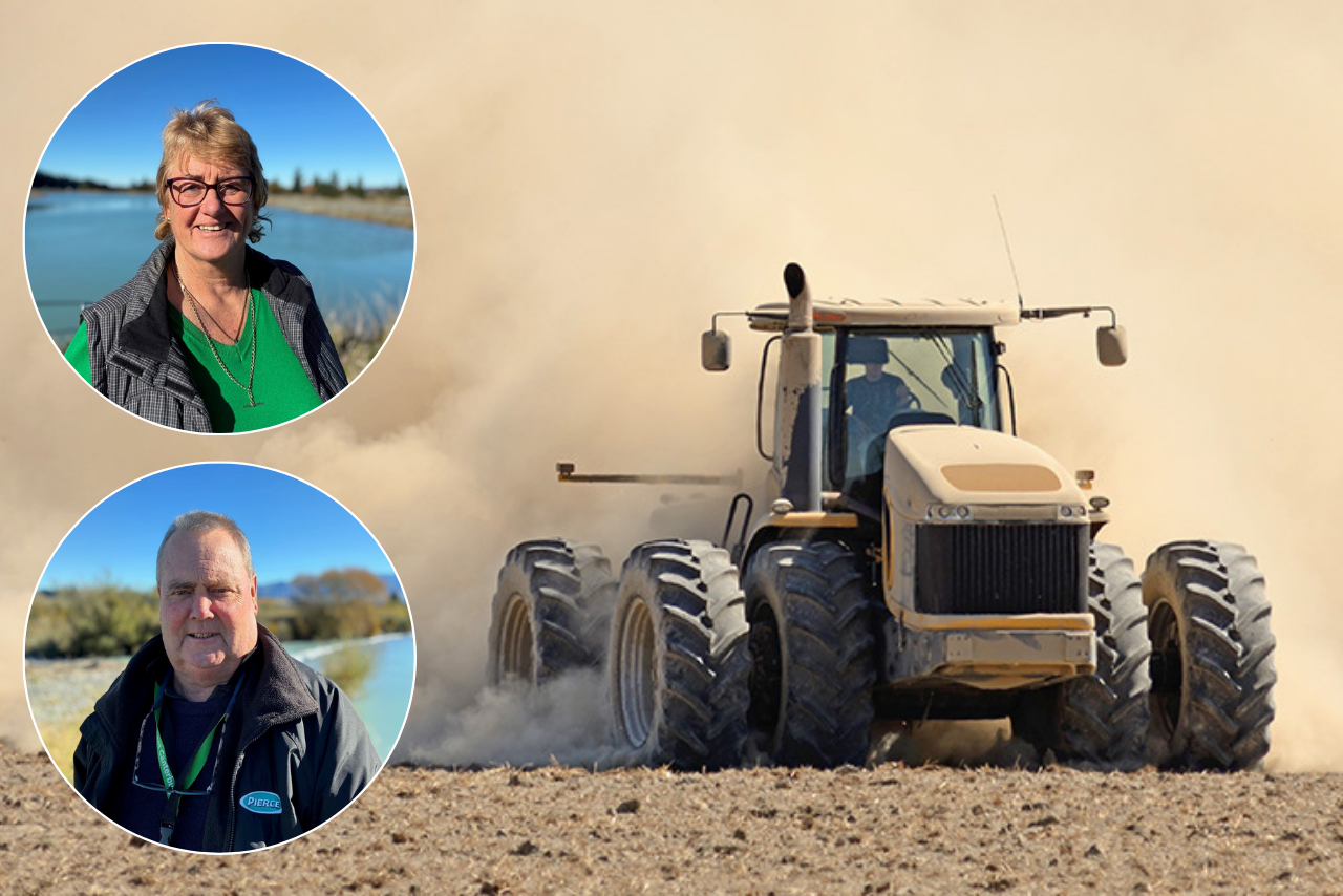
The swirling column of debris filmed near Rakaia during today’s thunderstorm was likely a small tornado in its final stages, according to MetService.
The storm brought hail of around 30 millimetres in diameter to Rolleston and Rakaia in the early evening, before moving over Christchurch.
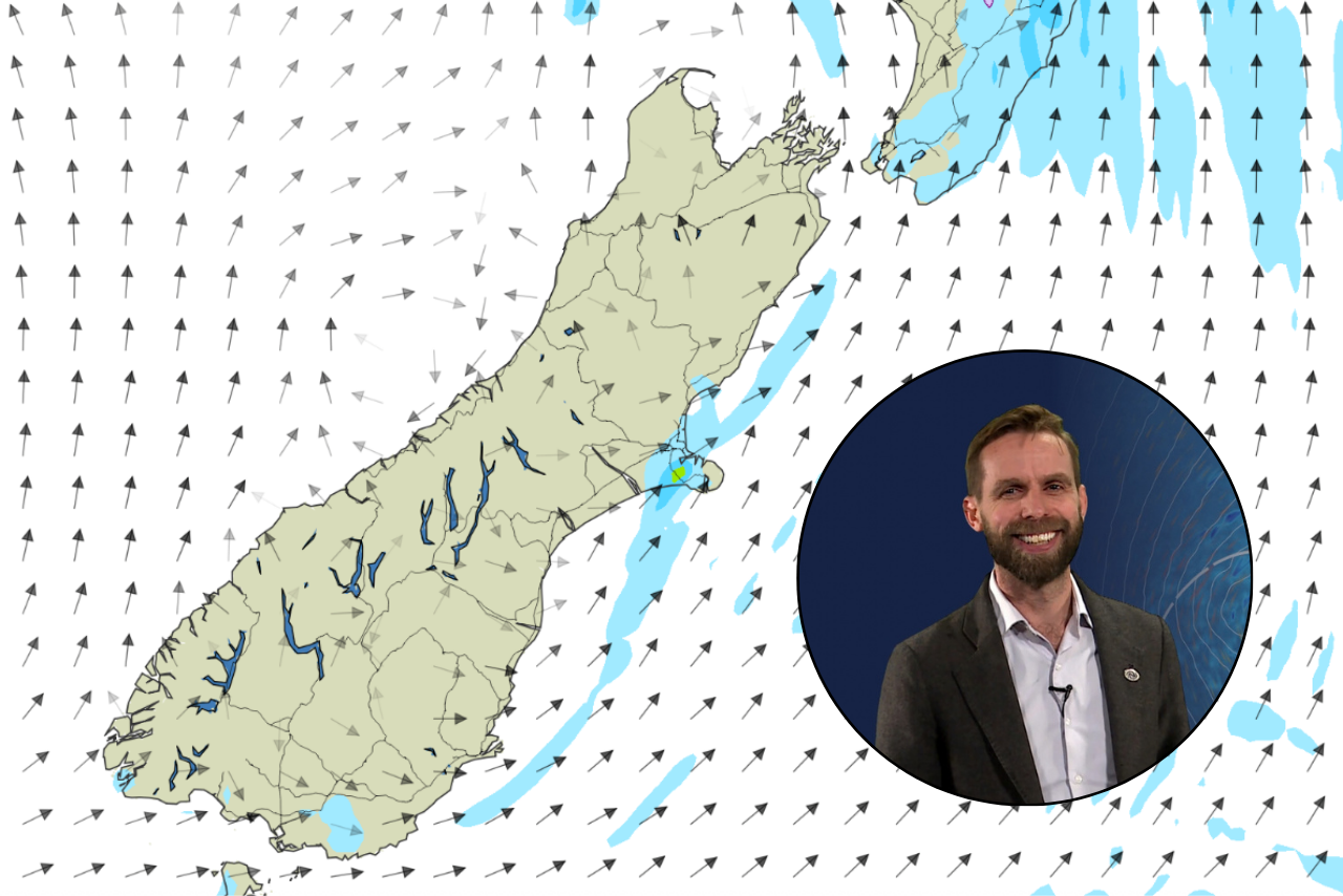
The footage sent to Chris Lynch Media showed rotating winds picking up debris into a dark cloud beneath the thunderstorm, MetService meteorologist Dan Corrigan said.
“Typically, with a tornado, you’ll see what’s called a funnel cloud extend from the bottom of the thunderstorm cloud and slowly get closer and closer to the ground and eventually touch down… This wasn’t quite like that based on the footage.”
“It’s possible that this might have been a really late stage of the tornado, where the part of the funnel cloud in between the top of the cloud of debris and the bottom of the thunderstorm had dissipated.”
“We could probably call it a small tornado, but it’s not really a damaging tornado in the same sense as we see in other parts of the world, like the United States,” he said.
“It was likely very transient and quite small, though from the footage we were able to see that it was able to pick up quite a lot of debris in that location.”
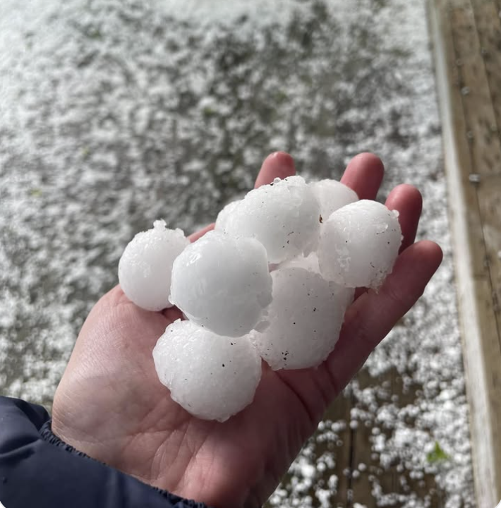
Hailstones reported in Leeston as thunderstorms sweep across Canterbury / Photo: Courtney Wederell-Day
Assign this conversation
Hail the bigger danger
The thunderstorm developed this afternoon off the South Canterbury coast and moved up the coast through the late afternoon.
MetService issued a severe thunderstorm warning because radar showed the potential for large, damaging hail, Corrigan said.
“We ended up seeing in places like Rolleston and Rakaia hail getting up to around 30 millimetres in diameter, which can be damaging to infrastructure, vehicles, crops.”
The storm was still producing hail when it reached Christchurch, but it had weakened, and the warning was lifted at about 6.40pm.
“Rotating winds are always a risk that’s associated with a severe thunderstorm,” Corrigan said.
“The bigger risk with this thunderstorm was the size of the hail.”
The video filmed by Tommy Glanville on a farm near Rakaia, helped MetService work out what had happened.
“We really appreciate when people can get the stuff on camera because it allows us to observe from an angle that we don’t usually get to observe from. And with things as fine scale as this, it’s really nice to get those ground reports.”
The Rakaia weather radar was upgraded a couple of years ago, improving MetService’s monitoring, Corrigan said.
It works by sending out microwave pulses at different angles to build a 3D picture of the atmosphere.
Before the upgrade, those pulses were polarised in a single direction. It is now a dual polarisation radar, sending both horizontal and vertical beams.
“That information helps us narrow down what are the shapes that we’re seeing within the precipitation within the cloud. So it lets us diagnose things like snow, and hail and the freezing level with much more certainty.”
There were no reports of any damage or emergency incidents according to a police spokesperson.