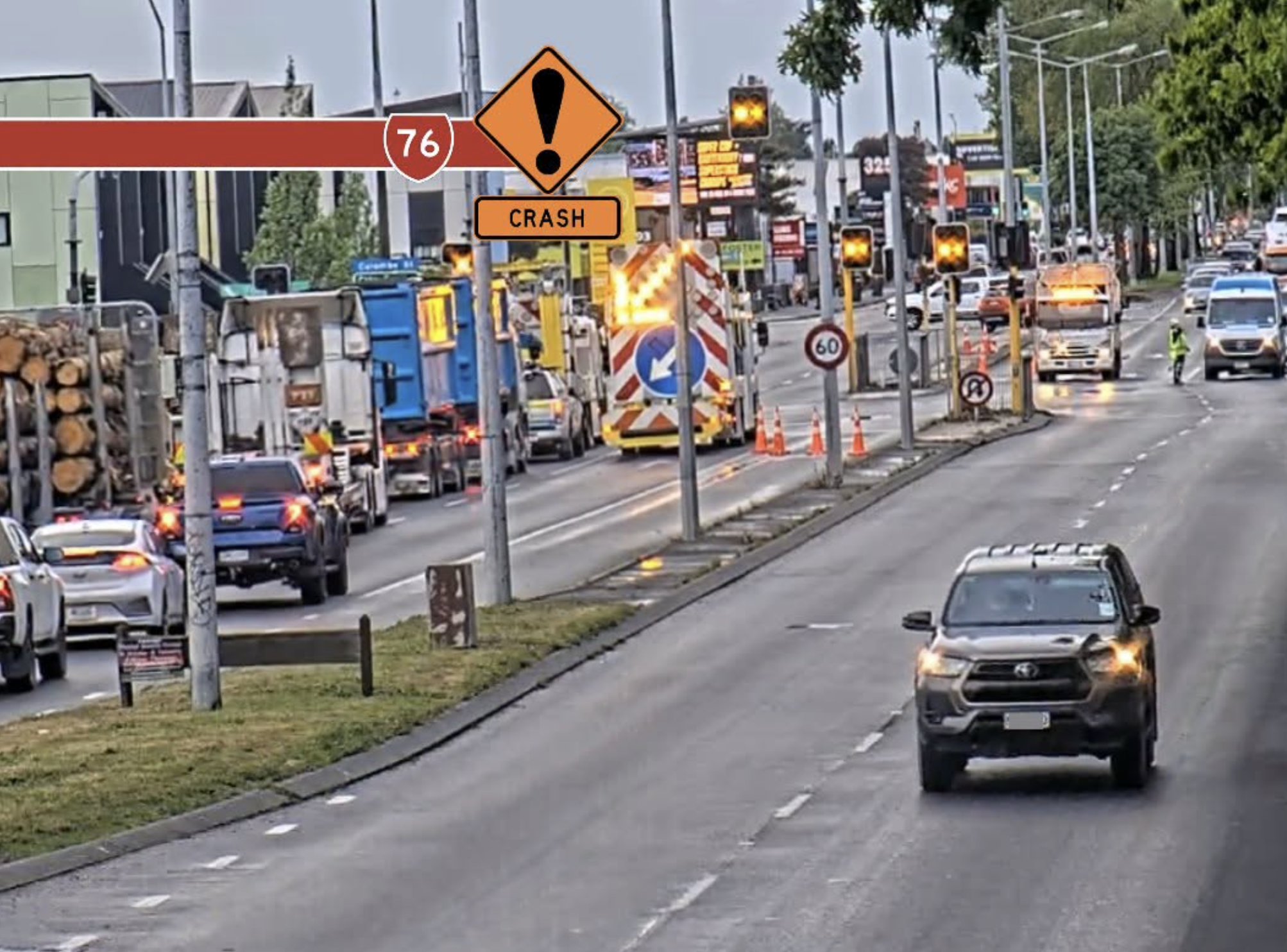
Escaped youth tracked by Eagle helicopter, found hiding in New Brighton
The young person who escaped from a youth justice facility in Rolleston has been located...


The young person who escaped from a youth justice facility in Rolleston has been located...

A person has been seriously injured on State Highway 75, Christchurch Akaroa Road. A police...

BodyFix Gym Christchurch in Phillipstown has taken out two major honours at the Exercise New...

Local MPs have found areas of agreement on major Resource Management Act reforms, during a...

A series of public events have been organised across Christchurch and Lyttelton over the coming...

A woman was taken to hospital after a ‘water incident’ at Parakiore Recreation and Sport...

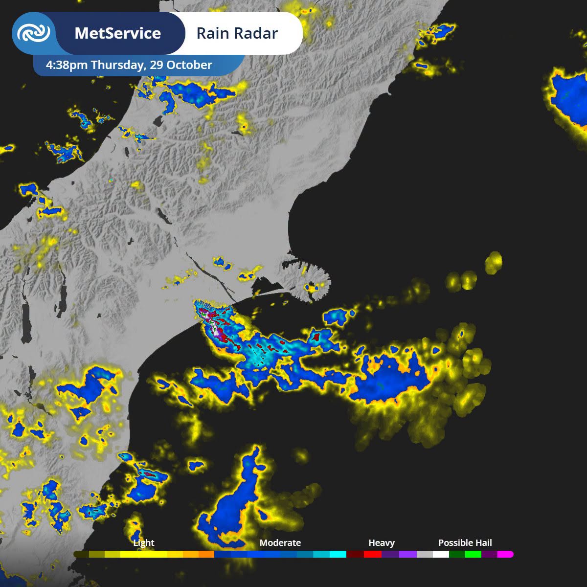
Thunderstorms are moving towards eastern Christchurch and Banks Peninsula, with MetService issuing a Severe Thunderstorm Watch until 8pm tonight.
Weather radar is showing active storms tracking north along the Canterbury coast, with the watch covering areas from Lake Ellesmere eastwards.
MetService has forecast heavy showers and small hail, with some thunderstorms capable of producing rainfall rates of up to 15mm an hour.
The unsettled conditions are being driven by a cold, unstable air mass moving across the South Island, creating favourable conditions for thunderstorms during the afternoon and evening.
The unsettled weather is expected to continue into Friday, with another risk of thunderstorms and hail in eastern Canterbury.
MetService said a further weather front could bring more thunder to the eastern coast of Canterbury, extending north towards Marlborough and Wairarapa.
Conditions are expected to improve on Saturday, with generally fine weather forecast across Christchurch and Canterbury.