Escaped youth tracked by Eagle helicopter, found hiding in New Brighton
The young person who escaped from a youth justice facility in Rolleston has been located...


The young person who escaped from a youth justice facility in Rolleston has been located...

A person has been seriously injured on State Highway 75, Christchurch Akaroa Road. A police...

BodyFix Gym Christchurch in Phillipstown has taken out two major honours at the Exercise New...

Local MPs have found areas of agreement on major Resource Management Act reforms, during a...

A series of public events have been organised across Christchurch and Lyttelton over the coming...

A woman was taken to hospital after a ‘water incident’ at Parakiore Recreation and Sport...


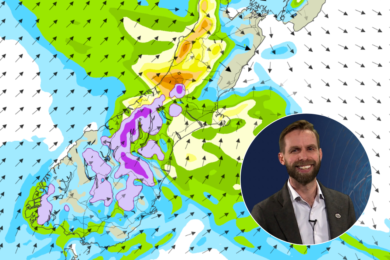
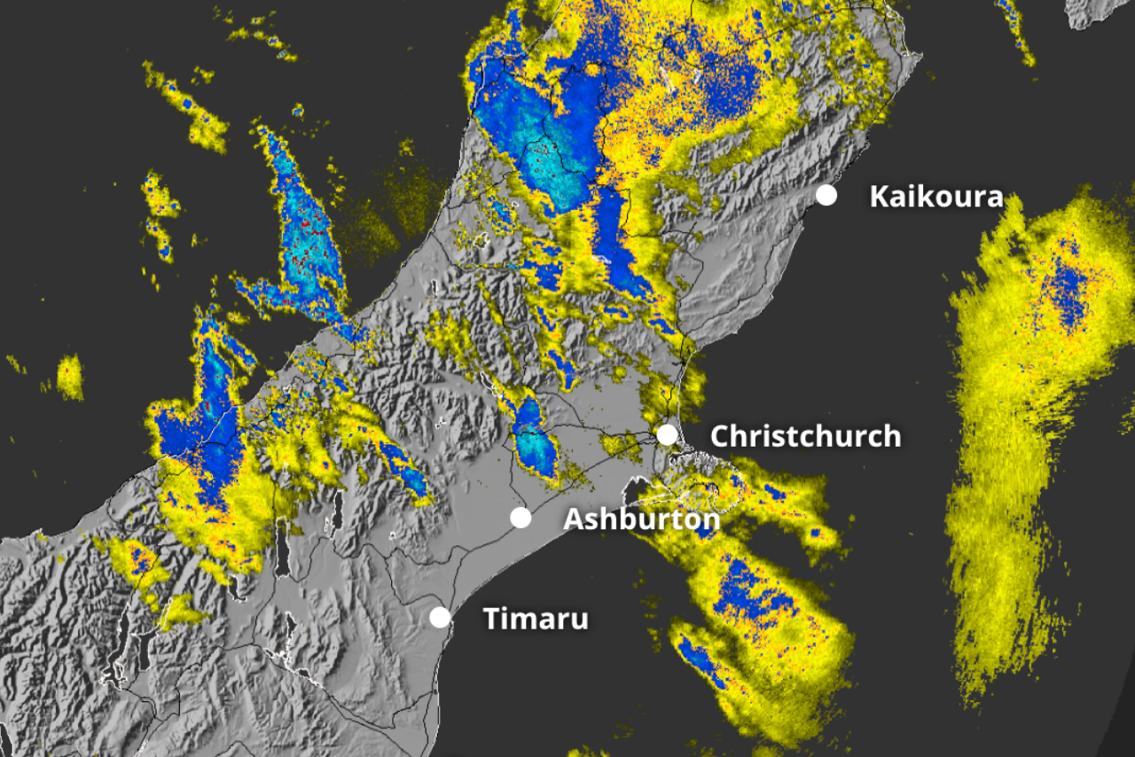
Parts of Canterbury are forecast to reach 27C on Tuesday before a cold front brings rain, a southerly change and the possibility of snow in the South Island high country.
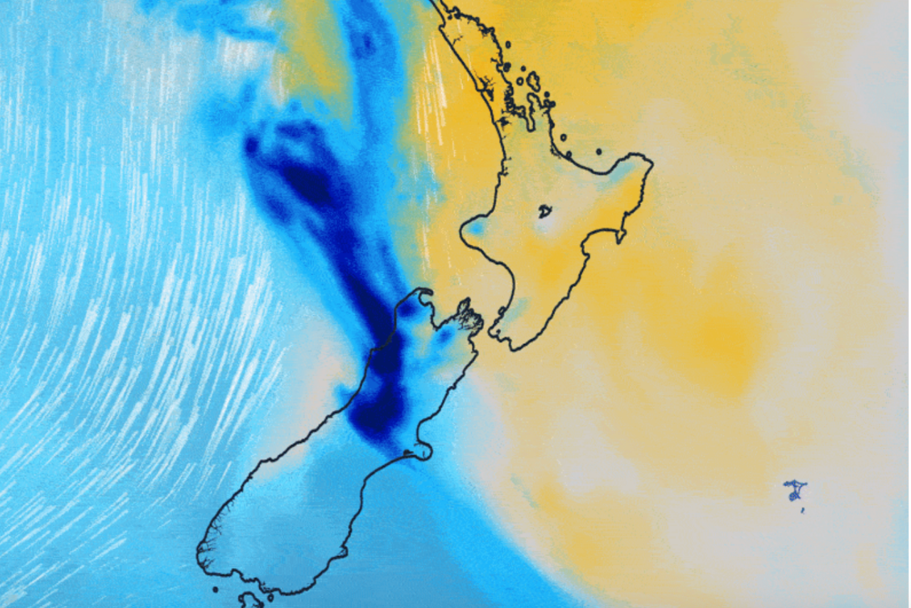
MetService said strengthening northwesterlies ahead of the front would give eastern areas a summer-like feel, with temperatures above average for this time of year.
The front is expected to reach the southern South Island on Tuesday, then move north on Wednesday, bringing a sharp drop in temperatures.
MetService meteorologist Maddy Neal said residents might want to keep their winter bedding handy.
“As this front moves up the country throughout the week, warmer weather is going to be replaced by a wet winter chill! So, if you’ve put the winter duvet away already, it may be worth digging back out towards the end of the week.”
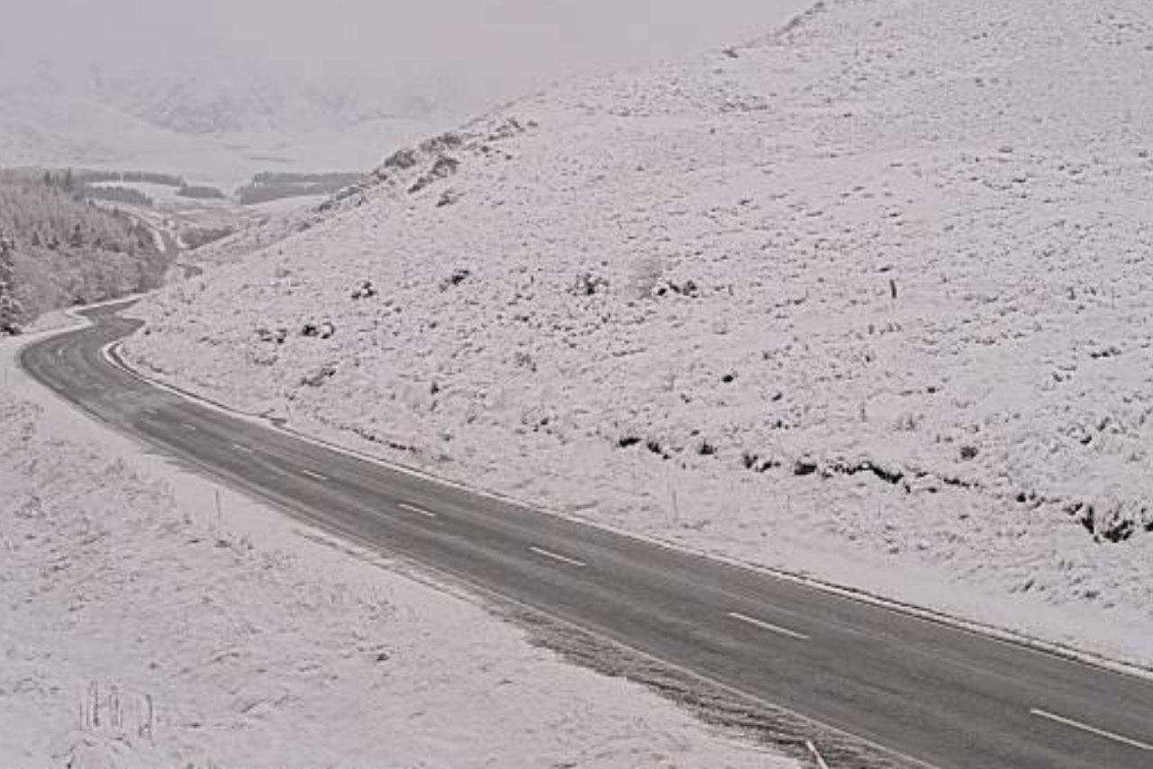
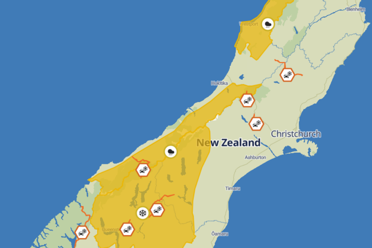
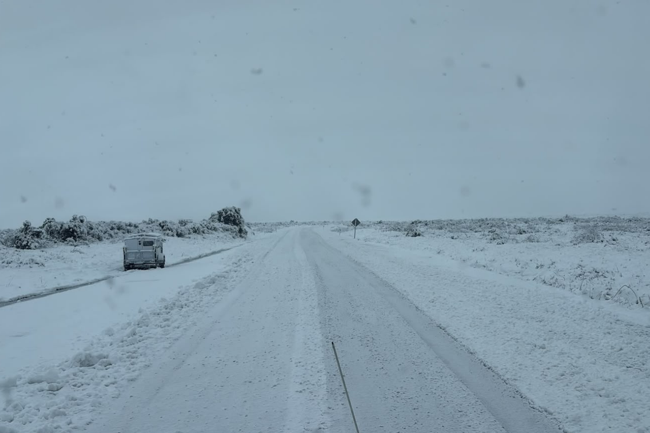
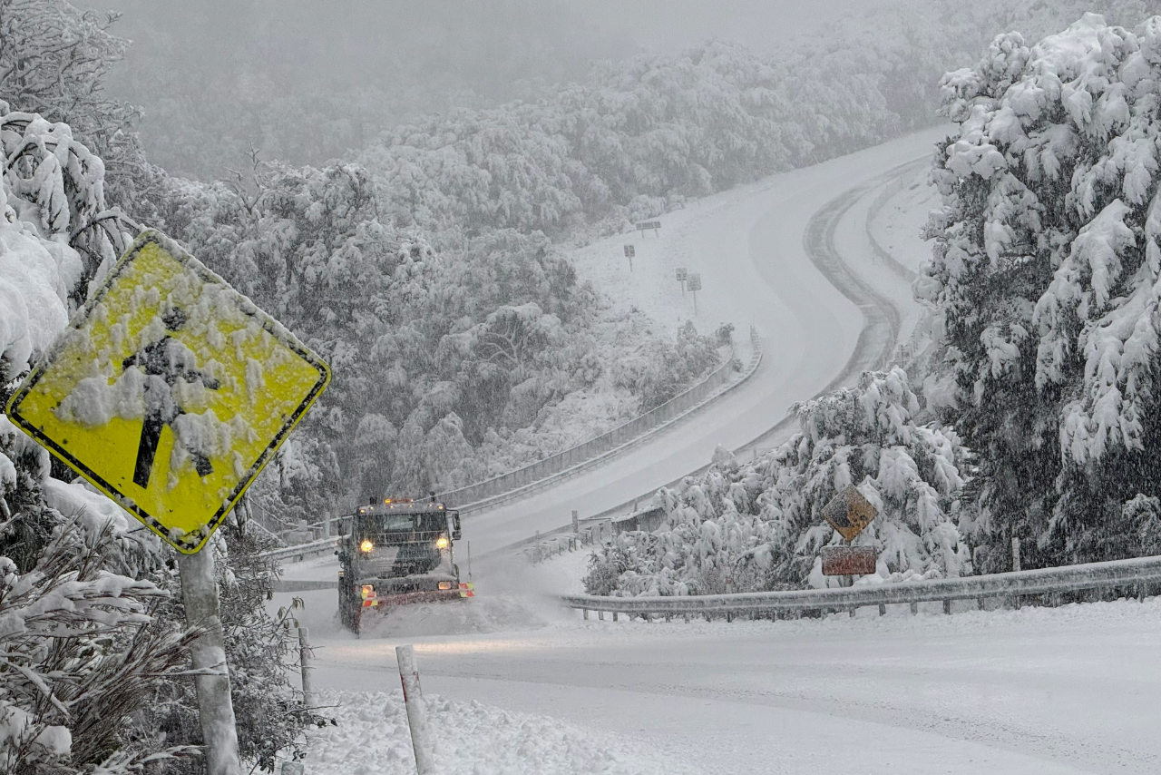
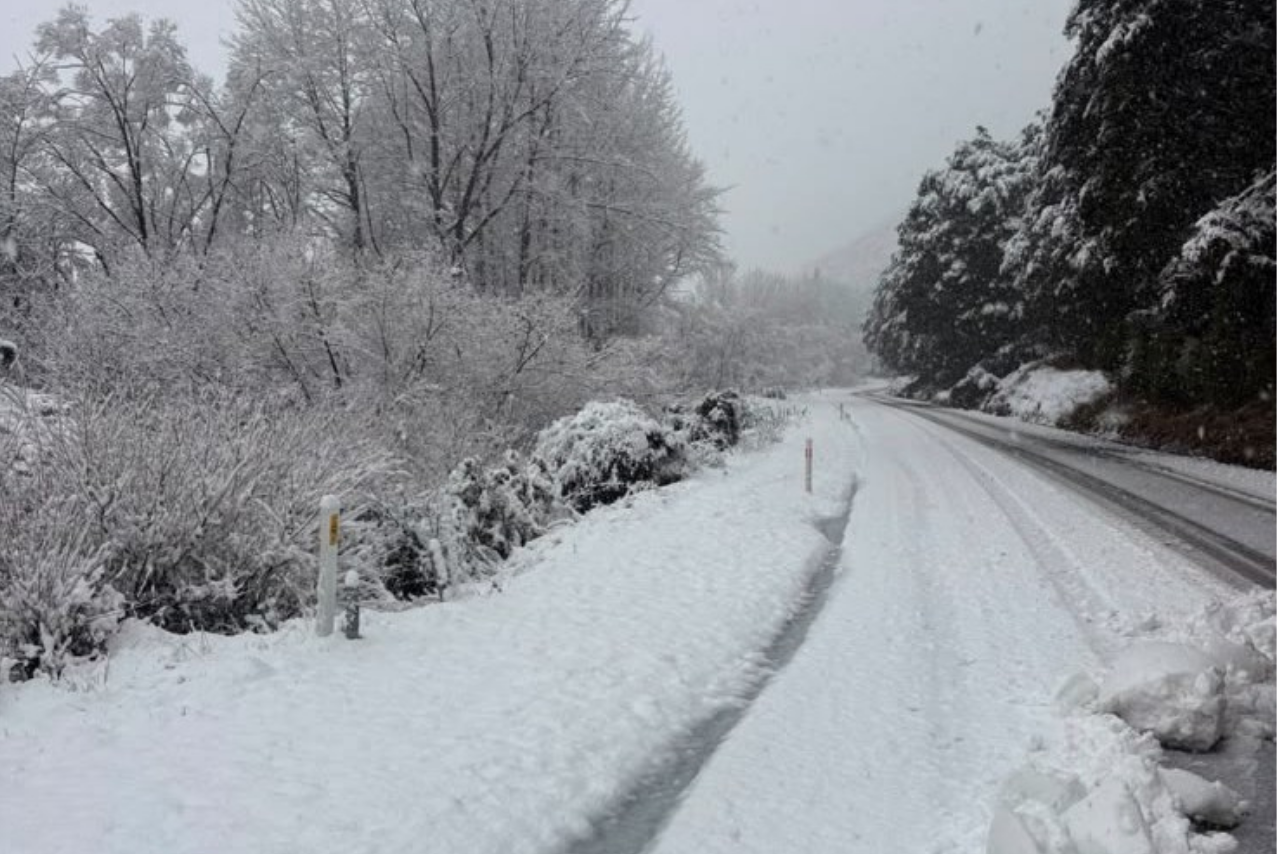
A dusting of snow is possible on higher South Island passes and high country farms as the colder air arrives.
A heavy rain watch has been issued for the ranges of Westland and Grey District north of Mount Cook, from 9pm Tuesday until 3pm Wednesday. Other South Island ranges could also receive heavy rain on Wednesday.
The rain follows a drier than normal start to October across New Zealand, which has left soil moisture below average, particularly in the North Island.