Escaped youth tracked by Eagle helicopter, found hiding in New Brighton
The young person who escaped from a youth justice facility in Rolleston has been located...


The young person who escaped from a youth justice facility in Rolleston has been located...

A person has been seriously injured on State Highway 75, Christchurch Akaroa Road. A police...

BodyFix Gym Christchurch in Phillipstown has taken out two major honours at the Exercise New...

Local MPs have found areas of agreement on major Resource Management Act reforms, during a...

A series of public events have been organised across Christchurch and Lyttelton over the coming...

A woman was taken to hospital after a ‘water incident’ at Parakiore Recreation and Sport...

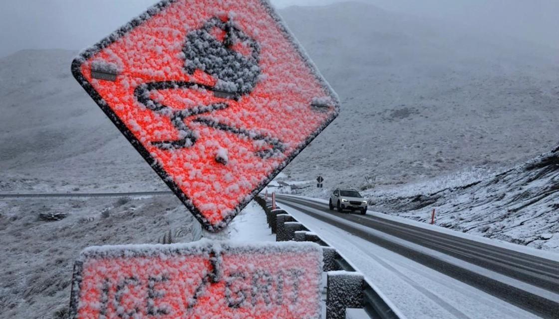
Drivers are being warned to prepare for snow, ice and possible travel disruption across several central South Island highways.
MetService has issued road snowfall warnings for key alpine routes, with the greatest impact expected across inland Canterbury.
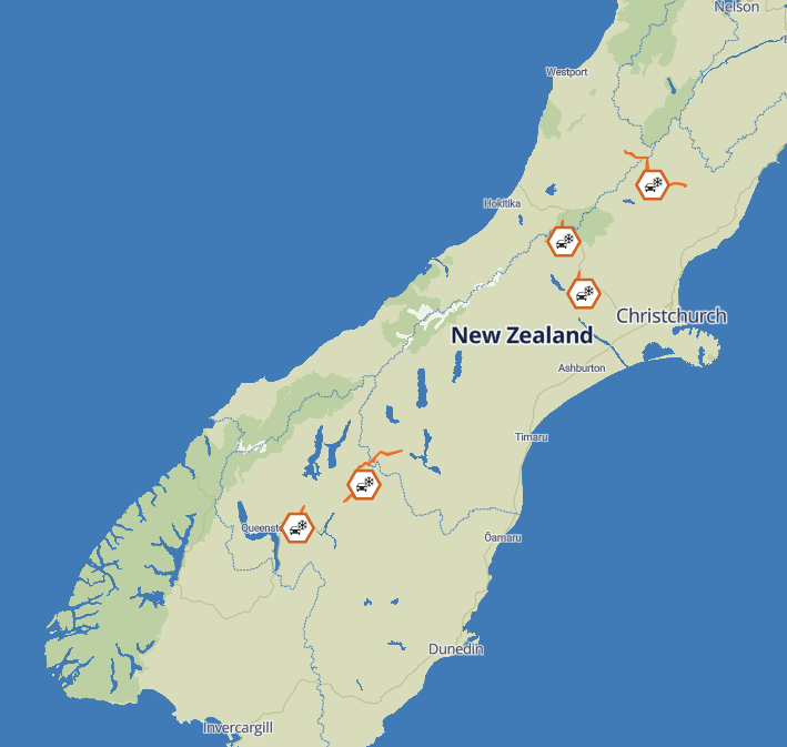
Up to 15 centimetres of snow could accumulate around the summit of Porters Pass on State Highway 73 from 6pm on Saturday, with lighter snow showers expected to continue through Sunday evening.
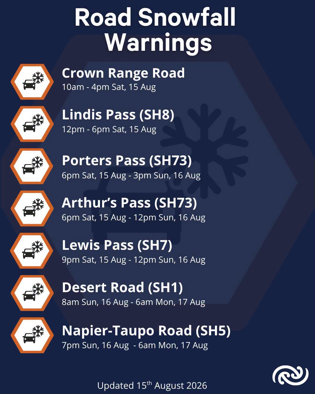
Up to five centimetres could fall around the summit of Arthur’s Pass from 6pm, while a similar amount is forecast on Lewis Pass from 9pm, potentially settling down to 400 metres.
Up to two centimetres could accumulate above 800 metres on Lindis Pass, while about one centimetre is possible on Crown Range Road.
An NZTA spokesperson said motorists should check weather and highway conditions before travelling, particularly on inland roads and alpine passes.
“Winter still has some bite left, with potentially hazardous snowfalls expected through the central South Island,” the spokesperson said.
Drivers were advised to reduce their speed, increase following distances and avoid sudden braking or turning where snow or ice affected traction.
NZTA and its contractors will monitor the highways and clear snow where required. Roads could be closed or travel restricted if conditions become unsafe.
Freezing conditions are expected to create further hazards on Sunday, particularly in sheltered areas and during the early morning and late evening.
Motorists were also advised to carry warm clothing, food and water in case of delays or detours.