Metservice has issued new snow warnings.
It says snow is possible down to sea level in the Marlborough area south of Seddon and Canterbury north of the Rakaia river.
It is expected to become heavy inland above about 200 metres where 15 to 30 cm of snow is forecast to accumulate, or possibly more at higher levels.
Snow showers are likely to sea level Sunday night and Monday morning, these may affect Christchurch and Banks Peninsula.
Metservice said heavy snow may disrupt travel in affected areas and could damage trees and powerlines. Cold conditions may cause stress for livestock.
Road Snowfall Warning remain in place
LEWIS PASS (SH7)
Heavy snow is expected to develop on Sunday morning, before easing in the evening. Expect 20 to 25 cm of snow to accumulate on the road, especially east of the summit.
AREA: ARTHUR’S PASS (SH73)
Heavy snow is expected to develop on Sunday morning, before easing in the evening. Expect 15 to 25 cm of snow to accumulate on the road.
PORTERS PASS (SH73)
Heavy snow is expected to develop on Sunday morning, before easing in the evening. Expect 20 to 30 cm of snow to accumulate on the road.
HAAST PASS (SH6)
Snow showers could possibly affect the road overnight tonight and early Sunday morning when 1 to 2 cm of snow may settle on the road above 500 metres.
LINDIS PASS (SH8)
-
A few snow showers may affect the road tonight and during Sunday, where 1 to 2 cm may briefly accumulate on the road above 300 metres at times.
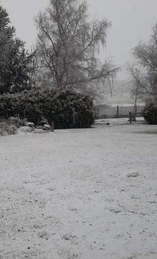
Snow in Mt Somers, Mid Canterbury. Only been falling for 20 mins says Tania King.